
Browse Archives
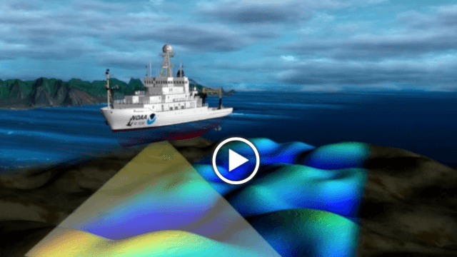
NOAA’s SoundScapes
0 Views0 Comments0 Likes
In this episode: in less than three minutes, this video presents the basics about multibeam and side scan sonar, including a visualization that shows how sonar data is used to make products like nautical charts.
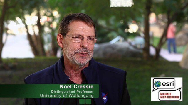
Noel Cressie Talks Spatial Statistics at the Geodesign Summit
0 Views0 Comments0 Likes
Noel Cressie is a Distinguished Professor, National Institute for Applied Statistics Research Australia (NIASRA), University of Wollongong, Australia. He delivered the keynote speech at the Geodesign Summit 2015 in Redlands, Calif., discussing spatial statistics and their role in modern analysis and design. On behalf of V1 Media, Informed Infrastructure and GeoSpatial Stream, Todd Danielson interviewed Cressie at the Summit.
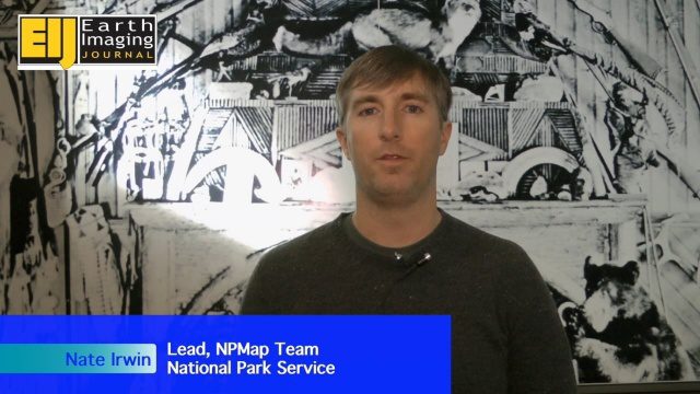
NPMap Pioneers Open and Flexible Platform
0 Views0 Comments0 Likes
The V1 Video team interviewed Nate Irwin, head of the NPMap team for the National Park Service, at the USFWS/USNPS Geospatial Training Workshop. NPMap is an innovative online mapping platform that helps park visitors navigate the details of national parks as well as providing a platform for parks to customize and share maps for park management.

OCO-2: NASA’s New Carbon Counter
0 Views0 Comments0 Likes
NASA's OCO-2 mission will shed new light on understanding carbon and its role in our planet's future.

OcuTech 360 Video Mapping
0 Views0 Comments0 Likes
OcuTech 360 is an inclusive provider of 360 degree visual technologies that are applied in geospatial mapping. Thanks to state of the art hardware and software, you can now digitize infrastructure and interact with data in 3D space, take 3D measurements, and annotate. For more info, please visit ocutech360.com or contact [email protected].
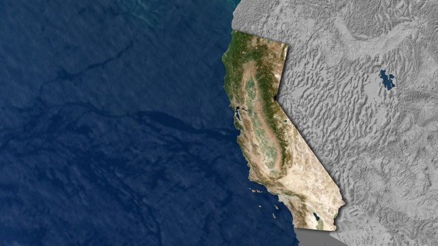
Open California: Our Data, Your Creativity
0 Views0 Comments0 Likes
We're releasing our growing California archive under an a CC BY-SA license. Join our community of image analysts, scientists, developers, and researchers: https://www.planet.com/open-california/
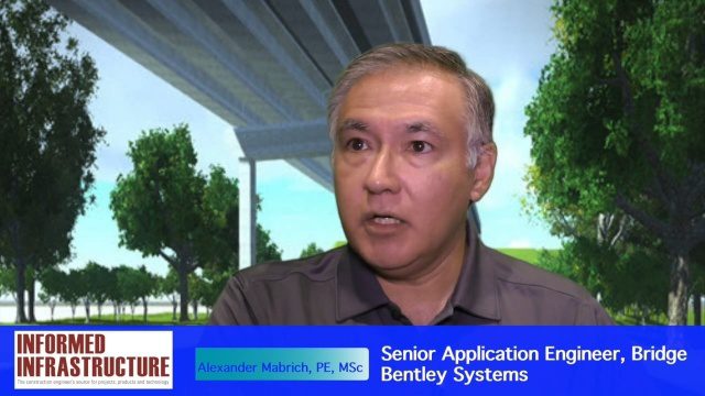
OpenBridge Modeler Saves Time, Money throughout Lifecycle
0 Views0 Comments0 Likes
The V1 Video team interviewed Alexander Mabrich, Senior Engineering Consultant with Bentley Systems, at the 2016 NASCC: The Steel Conference, held April 13-15 in Orlando, Fla. He discusses the gap between concept and design in bridge construction, Bentley's OpenBridge Modeler product and how it can help throughout the process, and how a model can continue to be used after construction in maintenance and rehabilitation.
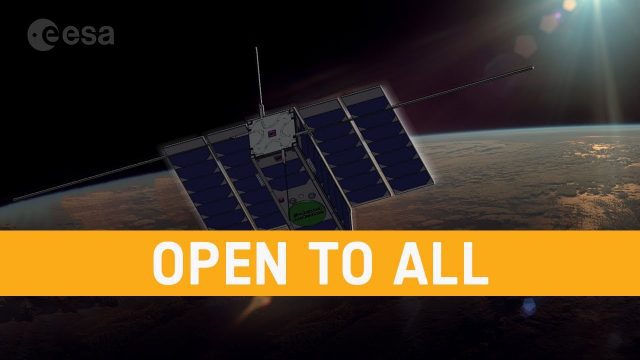
OPS-SAT: ESA’s Flying Lab, Open to All
0 Views0 Comments0 Likes
What would you do with a powerful computer based in space? At just 30 centimeters in height, OPS-SAT is a tiny CubeSat designed to serve as a large-scale software laboratory in orbit–containing one of the most powerfu...
Ordnance Survey: Finding a Way
0 Views0 Comments0 Likes
Ordnance Survey is very proud to be introducing a refreshed visual identity. Take a look at how much we've changed in our 224 years.
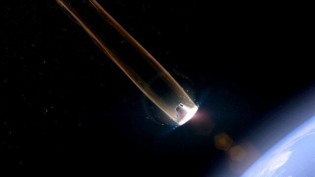
Orion: Trial By Fire
0 Views0 Comments0 Likes
NASA’s newest spacecraft, Orion, will be launching into space for the first time in December 2014, on a flight that will take it farther than any spacecraft built to carry humans has gone in more than 40 years and through temperatures twice as hot as molten lava to put its critical systems to the test.


