Tag: video
Structural Engineering of Chicago’s 150 N. Riverside Building
0 Views0 Comments0 Likes
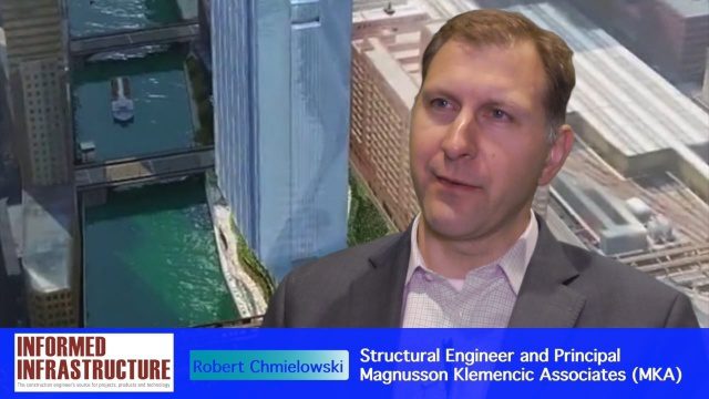
The V1 Video team interviewed Robert Chmielowski, Structural Engineer and Principal at Magnusson Klemencic Associates (MKA), at the 2016 NASCC: The Steel Conference, held April 13-15 in Orlando, Fla. He discusses the complexities of the unique building being developed at 150 N. Riverside along the Chicago River, which include the site's strong and narrow core, the steel used to make it possible, and the software used to design and analyze the building.
NASA’s MMS Satellite Breaks World GPS Record
0 Views0 Comments0 Likes
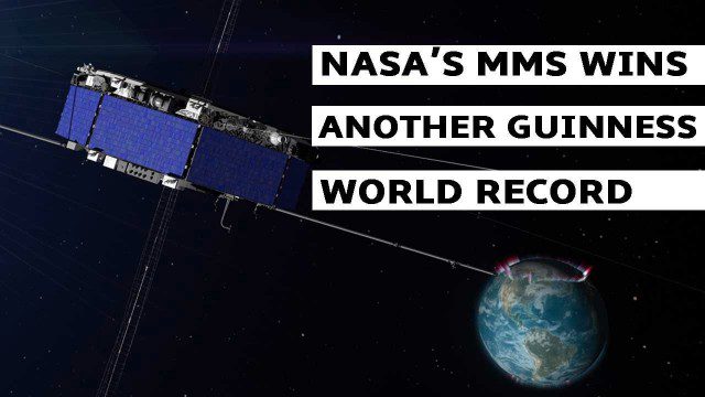
NASA's MMS mission now holds the Guinness World Record for highest altitude GPS fix: 43,500 miles above Earth’s surface.
Capturing the Iconic Red Rocks Park and Amphitheater
0 Views1 Comments0 Likes
The V1 Video Team made a site visit to Red Rocks Amphitheater and Park to capture video interviews and witness an ambitious drone-based reality-capture exercise to photograph and model the mountain park. The visualization team from engineering firm Kimley-Horn captured the area for the City and County of Denver, which owns and maintains the park. Autodesk and its partner 3D Robotics were on hand to demo their collaboration on SiteScan, which creates an automated workflow from drone capture to use within Autodesk’s modeling software. The mission had many purposes, including historical archiving of the park, modeling stormwater erosion, tracking trail maintenance, and building acoustics and lighting models for the amphitheater.
Greg Bentley Discusses Reality Modeling Worldwide
0 Views0 Comments0 Likes
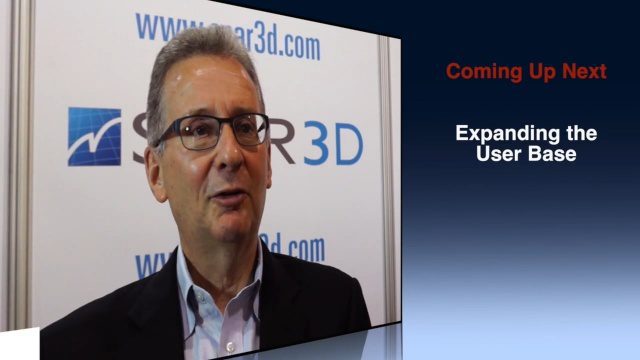
The V1 Video team interviewed Greg Bentley, CEO of Bentley Systems, at the 2016 SPAR 3D Expo and Conference, held April 11-14 in The Woodlands, Texas. In Part II, he discusses how reality modeling is being applied in several locations across the world, the impacts such modeling is having in expanding the user base beyond engineering and how reality modeling can provide substantial return on investment.
Proposed Bus Terminal in NYC
0 Views0 Comments0 Likes
Pelli Clarke Pelli Architects proposed a relatively compact terminal to be built exclusively on Port Authority-owned land just west of the current facility between West 38th and West 40th streets that would cost $3.7 billion to construct.
8_4 Infrastructure Broadcast (TIGER Grants, Transit Tech and More)
0 Views0 Comments0 Likes
This Infrastructure-themed GeoSpatial Stream broadcast discusses $500 million in grants from the USDOT's TIGER program; highlights from the latest issue of Informed Infrastructure magazine; new virtual reality technology to promote transit; industry news from Pix4D, Thinkbox Software and the Global Infrastructure Hub; a video from the Mississippi Watershed Management Organization about a stormwater filtration system recently installed near Minneapolis; and more.
How Solar Flares Affect Earth
0 Views0 Comments0 Likes
A team of scientists led by Laura Hayes–a solar physicist who splits her time between NASA's Goddard Space Flight Center and Trinity College in Dublin, Ireland–investigated a connection between solar flares and Earth's atmosphere.
Harris Sensors Monitor Urban Environments
0 Views0 Comments0 Likes
The V1 Video team interviewed Eric Webster, Vice President and General Manager of Environmental Solutions at Harris Corp., at the 32nd Space Symposium held April 11-14, 2016, in Colorado Springs, Colo. He discusses the company's GreenLITE carbon dioxide monitoring system and how it can monitor an entire city, an example of the technology being used in Paris, and the benefits of a multi-sensor platform for environmental analysis.
2017 Drone Data Race
0 Views0 Comments0 Likes
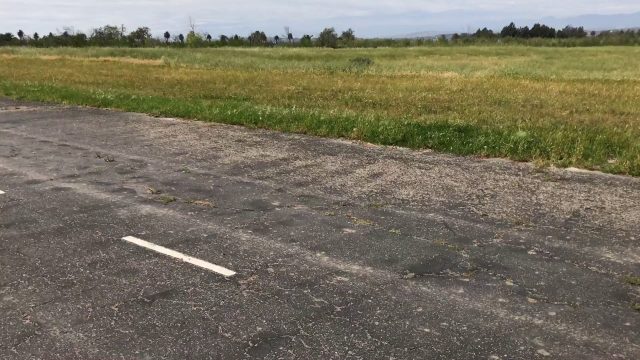
On April 22, 2017, the Aerial and Aquatic Robot Research group (AARR) of the California State University Channel Islands hosted the first Drone Data Race in Camarillo, CA.

