
Tag: video
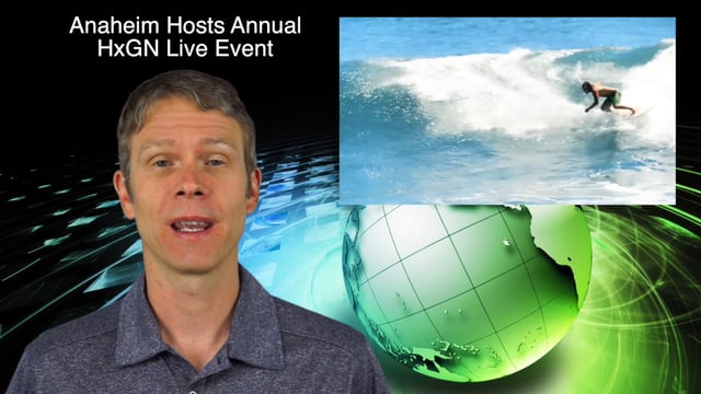
6_16 Infrastructure Broadcast (PDH Credit, HxGN Live and More)
2.49K Views0 Comments0 Likes
This Infrastructure-themed GeoSpatial Stream broadcast discusses the latest issue of Informed Infrastructure, including an article on Treasure Island bridge design, PDH credit for an Autodesk benchmark study, and new Web site features and interviews; video clips from the recent HxGN Live event covering Hexagon's latest technologies and direction; industry news from Hexagon, CINTEC America, Contech Engineered Solutions and CoreLogic; thoughts on an upcoming road trip across America's infrastructure; and more.
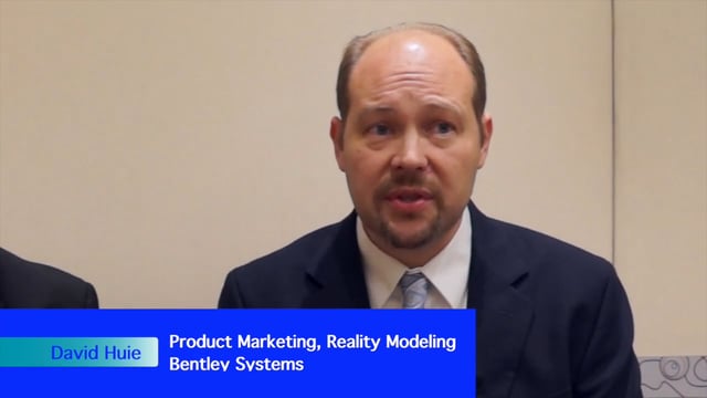
David Huie and David Burdick: Reality Capture and Modeling, LumenRT, and Visualization for Communication
3.95K Views0 Comments0 Likes
Informed Infrastructure interviewed Bentley Systems' David Huie, Product Marketing, Reality Modeling, and David Burdick, Market Development, Visualization, at the Year In Infrastructure Event held Nov. 1-3, 2017, at the Hilton London Metropole. They take turns discussing Bentley's latest advances in reality capture and modeling, including its LumenRT product, as well as how to best use visualization for communication with the expanding amount of "non-technical" stakeholders.

NASA Tech’s Supporting Role at the Oscars
1.08K Views0 Comments0 Likes
It's all about the gold. NASA uses gold on satellites and telescopes to see in infrared and block heat absorption. We needed a coating that was ulta-reflective and super durable—and thanks to a family-owned business i...
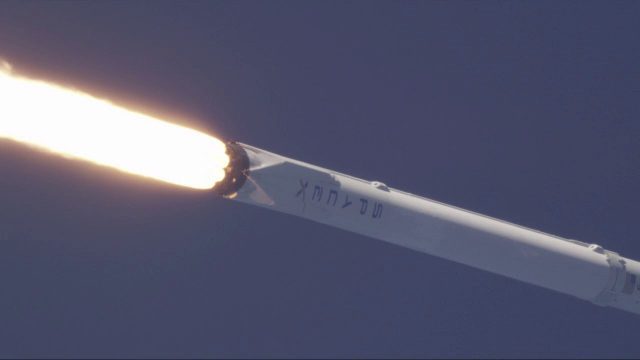
SpaceX Falcon 9 Liftoff with TESS
978 Views0 Comments0 Likes
A Falcon 9 rocket lifts off at 6:51 p.m. EDT from Space Launch Complex 40 at Cape Canaveral Air Force Station carrying NASA's Transiting Exoplanet Survey Satellite (TESS).

TOPEX/JASON Sees 22-Year Sea Level Rise
1.45K Views0 Comments0 Likes
This visualization shows total sea level change between 1992 and 2014, based on data collected from the TOPEX/Poseidon, Jason-1, and Jason-2 satellites. Blue regions are where sea level has gone down, and orange/red regions are where sea level has gone up. Since 1992, seas around the world have risen an average of nearly 3 inches. The color range for this visualization is -7 cm to +7 cm (-2.76 inches to +2.76 inches), though measured data extends above and below 7cm(2.76 inches). This particular range was chosen to highlight variations in sea level change. Download the visualization: http://svs.gsfc.nasa.gov/cgi-bin/deta....
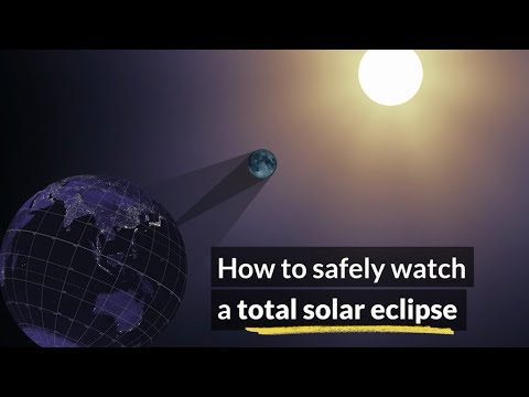
How to Safely Watch a Solar Eclipse
5.18K Views0 Comments0 Likes
It is never safe to look directly at the sun's rays - even if the sun is partly obscured. When watching a partial eclipse you must wear eclipse glasses at all times if you want to face the sun, or use an alternate indirect method. This also applies during a total eclipse up until the time when the sun is completely and totally blocked.
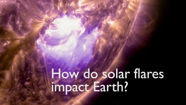
How Solar Flares Affect Earth
2.83K Views0 Comments0 Likes
A team of scientists led by Laura Hayes–a solar physicist who splits her time between NASA's Goddard Space Flight Center and Trinity College in Dublin, Ireland–investigated a connection between solar flares and Earth's atmosphere.

6_9 Earth Imaging Broadcast (Satellite Success, Asteroid Mining and More)
2.47K Views0 Comments0 Likes
This Earth Imaging-themed GeoSpatial Stream broadcast discusses the recent streak of success at the European Space Agency, including its Sentinel and Galileo launches as well as a demonstration of the SpaceDataHighway; a NASA video about its North Atlantic Aerosols and Marine Ecosystems Study (NAAMES) mission; industry news from Merrick-Surdex Joint Venture, TerraGo, Earth-i, Teledyne Optech and Siteco Informatica; thoughts on asteroid mining and related benefits to Earth sensing; and more.

2_25 Earth Imaging Broadcast (Sentinel Launch, Smallsats and More)
4.72K Views0 Comments0 Likes
This Earth Imaging-themed GeoSpatial Stream broadcast discusses the recently launched Sentinel-3A Earth-monitoring satellite; a smallsat/cubesat video created by the European Space Agency; NASA UAS/drone news; industry news from Esri, SimActive, Teledyne Optech and Riegl; a funny mapping video from the University of Kentucky's New Maps Plus online education program; and more.
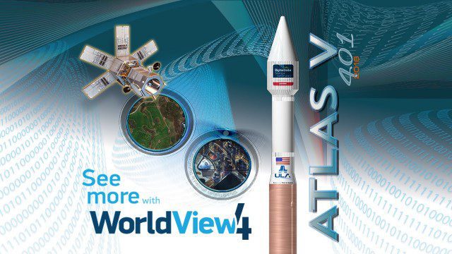
Atlas V WorldView Launch Broadcast Replay
2.46K Views0 Comments0 Likes
Watch a replay as the ULA's Atlas V launches the WorldView-4 launch for DigitalGlobe.


