Category: Vendor Videos
ACEC Colorado Award Winner: Data Fusion Predicts Habitat Quality
0 Views0 Comments0 Likes
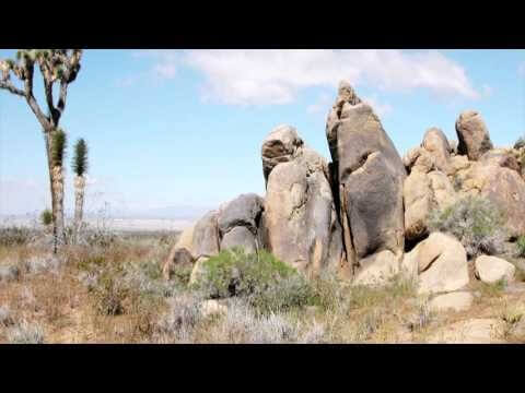
Edwards Air Force Base is located in California’s Mojave Desert, which is home to unique and threatened species such as the desert tortoise, the Joshua tree and desert springparsley. The Air Force monitors impacts of its operations on habitats using multispectral satellite imagery and traditional aerial and field approaches. Hyperspectral imagery and Light Detection and Ranging (LiDAR) remotesensing technologies are being used as more cost-effective methods to collect and analyze spatial data related to habitat quality. Merrick & Company, the primary mapping consultant, was responsible for overall technical implementation, aviation coordination, sensor integration, LiDAR acquisition and point cloud post-processing. Fusing and modeling discreet remotely sensed data from several digital sensors is used to assess habitat quality for inventory and preservation of unique desert species, enabling systematic comparisons to be made over time for effective management of the desert ecosystem. The data also helps to substantiate that operations on Edwards Air Force Base do not degrade habitat quality that may result in the loss of sensitive species in the region.
Why Attend Bentley Systems YII 2016
0 Views0 Comments0 Likes
This video from Bentley Systems shows highlights of the 2015 event and what attendees can expect if they convene in London in 2016.
OcuTech 360 Video Mapping
0 Views0 Comments0 Likes
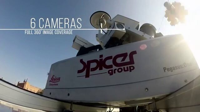
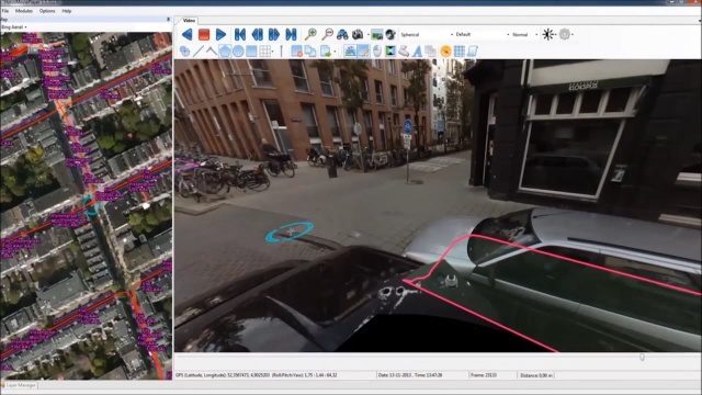
OcuTech 360 is an inclusive provider of 360 degree visual technologies that are applied in geospatial mapping. Thanks to state of the art hardware and software, you can now digitize infrastructure and interact with data in 3D space, take 3D measurements, and annotate. For more info, please visit ocutech360.com or contact [email protected].
Autodesk LIVE Brings Interactive Storytelling to Life
0 Views0 Comments0 Likes
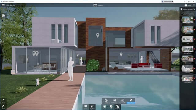
Autodesk Inc. recently launched Autodesk LIVE, a new interactive visualization service that offers Revit users in the architecture, engineering and construction industries (AEC) the ability to transform their designs into fully interactive 3D models. This video provides a demo of the new technology.
Interview with CEOs of Bentley Systems and Topcon Positioning Systems
0 Views0 Comments0 Likes
In October 2019, Informed Infrastructure Editorial Director Todd Danielson went to Bentley Systems’ Year In Infrastructure conference in Singapore. While there as an award juror for the Buildings and Campuses category, he was able to interview Greg Bentley and Ray O'Connor, the CEOs of Bentley Systems and Topcon Positioning Systems, respectively, about their companies and the joint venture they launched at the event: Digital Construction Works Incorporated (DCW).
Spike Kickstarter Video from ikeGPS
0 Views0 Comments0 Likes
Spike is the world’s first laser accurate Smartphone measurement solution enabling you to safely and accurately measure an object up to 600 feet (200 m) away. With a simple snap from your Smartphone, you can measure height, width, and area from a photo, and capture target location. Measurement and location are saved with the picture, and can be easily shared via email as a PDF or Spike File (XML).
Simulating Spaces for Social Distancing
0 Views0 Comments0 Likes
Todd Danielson, Informed Infrastructure's editorial director, interviewed Eduardo Lazzarotto, Bentley Systems’ director of Product Management for Facilities Engineering, via webcam.
Esri App Challenge Winners Create Actionable Tools to Strengthen Resilience Efforts
0 Views0 Comments0 Likes
Esri App Challenge Winners Create Actionable Tools to Strengthen Resilience Efforts Hundreds of Apps Submitted in Response to White House Climate Data Initiative Redlands, California—July 15, 2014—Esri...
Geodesign Summit 2015: Speaker Highlights
0 Views0 Comments0 Likes
The Geodesign Summit 2015 featured a variety of speakers and topics focused on designing a better and smarter built environment. This video produced by GeoSpatial Stream highlights some of the best, funniest and most thought-provoking moments.


