


Category: Vendor Videos

Esri’s Geotrigger Service Explained
0 Views1 Comments0 Likes
Matt Ball spoke with Amber Case, director of Esri's R&D Center in Portland, at the Local Data Summit in Denver on Feb. 25, 2014. The conversation ranges from accessible geospatial technology, the ubiquity of mobile devices, and the connections that are made with location awareness and location-based alerts.

Interview with Theo Agelopoulos, Autodesk
0 Views0 Comments0 Likes
In November 2019, Informed Infrastructure Editorial Director Todd Danielson interviewed Theo Agelopoulos, the senior director of Infrastructure Strategy and Marketing at Autodesk, at the Autodesk University (AU) Confe...

Introducing Google’s Project Wing
0 Views0 Comments0 Likes
Project Wing is a Google[x] project that is developing a delivery system that uses self-flying vehicles. As part of our research, we built a vehicle and traveled to Queensland, Australia for some test flights. There, we successfully delivered a first aid kit, candy bars, dog treats, and water to a couple of Australian farmers. We’re only just beginning to develop the technology to make a safe delivery system possible, but we think that there’s tremendous potential to transport goods more quickly, safely and efficiently.

Fully Integrated RiCOPTER UAV in Flight
0 Views0 Comments0 Likes
RiCOPTER is a high-performance UAV which can be equipped with the RIEGL VUX-1 survey-grade LiDAR sensor to offer a fully integrated turnkey solution and marks the first complete UAS LiDAR solution from one manufacturer.
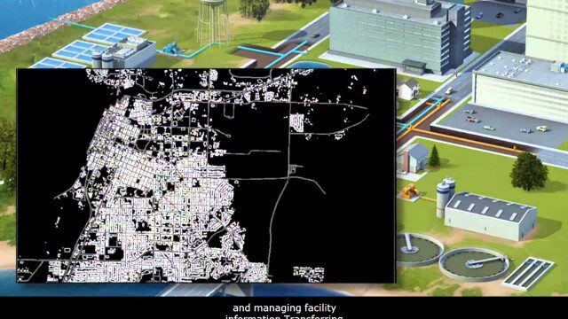
AECO Software to Manage the Urban Water Infrastructure Lifecycle
0 Views0 Comments0 Likes
Utilities and their consultants around the world rely on Bentley’s water solution to deliver intelligent infrastructure, ultimately providing clean water and managing sewerage and storm runoff. What architectural, engineering, construction, and operations (AECO) professionals can learn: • Maintain a centralized asset repository and manage facility information with Bentley’s integrated water and geospatial products • Model, analyze, and design water and wastewater pipe networks, using Bentley’s easy-to-use hydraulics and hydrology software • Design and build water and wastewater treatment plants in a fully-managed, collaborative team environment, using Bentley’s plant, structural, and building applications.

Smart Mapping from Esri
0 Views0 Comments0 Likes
Smart Mapping is an exciting new capability in ArcGIS Online that will change how you make maps.

SpaceCurve Introduces Spatial at the Speed of Reality
0 Views0 Comments0 Likes
GeoSpatial Stream's Todd Danielson conducted an Internet Interview with SpaceCurve's CEO Dane Coyer and Founder Andrew Rogers. They spoke about the company's inception, Big Data, spatial indexing and business applications as well as how SpaceCurve created new technologies to integrate these varied components.

2015 Audubon Medal Awardees: Jack and Laura Dangermond
0 Views0 Comments0 Likes
Jack and Laura Dangermond launched Environmental Systems Research Institute (Esri) in 1969 with a vision of how maps and geographic sciences could promote deeper understanding of our world and enable us to design a better future. The Dangermonds have since donated more than a billion dollars in geo-spatial, analytical, and visualization technology to research institutions, schools, and nonprofit organizations, equipping these groups with the same GIS tools that drive the strategies of Fortune 500 companies.
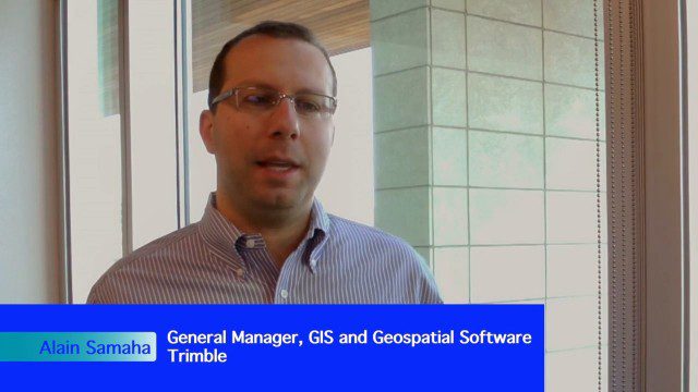
Trimble Expands Hardware and Software Integration, Focus on Solutions
0 Views0 Comments0 Likes
Trimble announced an expanded portfolio of geospatial solutions for surveyors, engineers and GIS professionals. V1 Media spoke with Alain Samaha, Business Area Director for Trimble's Geospatial Software Solutions and GIS businesses, about these solutions, the ability to automate and add efficiency, and other trends that are impacting data collection.

The Algorithm Marketplace
0 Views0 Comments0 Likes
The Algorithm Marketplace provides automated analysis of aerial data acquired by UAVs (Unmanned Aerial Vehicles). Using sophisticated algorithms, drone operators no longer need a background in geographic information system (GIS) or remote sensing to interpret their aerial data; instead, the marketplace provides an action-based report to improve management of assets.


