


Category: Vendor Videos

Interview with CEOs of Bentley Systems and Topcon Positioning Systems
0 Views0 Comments0 Likes
In October 2019, Informed Infrastructure Editorial Director Todd Danielson went to Bentley Systems’ Year In Infrastructure conference in Singapore. While there as an award juror for the Buildings and Campuses category, he was able to interview Greg Bentley and Ray O'Connor, the CEOs of Bentley Systems and Topcon Positioning Systems, respectively, about their companies and the joint venture they launched at the event: Digital Construction Works Incorporated (DCW).

Geodesign Summit 2015: The Words of Jack Dangermond
0 Views0 Comments0 Likes
The Geodesign Summit 2015 featured a variety of speakers and topics focused on designing a better and smarter built environment. This video produced by GeoSpatial Stream highlights key thoughts and ideas from Esri President and Founder Jack Dangermond.
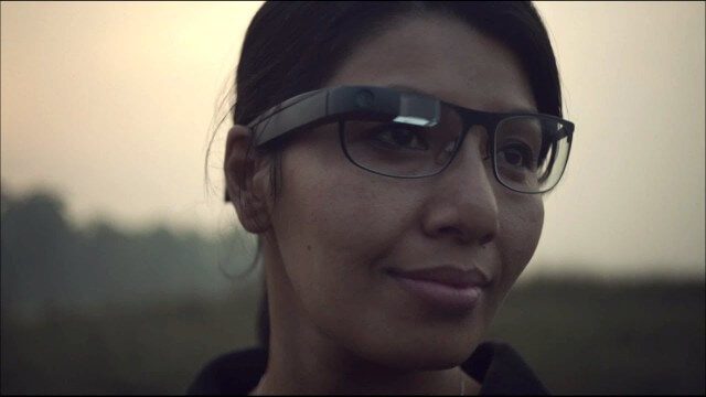
Google Glass Explorer Story: WWF’s Sabita Malla
0 Views0 Comments0 Likes
WWF's Sabita Malla is exploring how Glass can help protect rhinos.
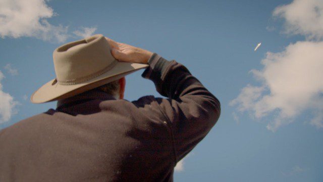
Introducing Google’s Project Wing
0 Views0 Comments0 Likes
Project Wing is a Google[x] project that is developing a delivery system that uses self-flying vehicles. As part of our research, we built a vehicle and traveled to Queensland, Australia for some test flights. There, we successfully delivered a first aid kit, candy bars, dog treats, and water to a couple of Australian farmers. We’re only just beginning to develop the technology to make a safe delivery system possible, but we think that there’s tremendous potential to transport goods more quickly, safely and efficiently.
Autodesk VTN Consulting
0 Views0 Comments0 Likes

Esri’s Geotrigger Service Explained
0 Views1 Comments0 Likes
Matt Ball spoke with Amber Case, director of Esri's R&D Center in Portland, at the Local Data Summit in Denver on Feb. 25, 2014. The conversation ranges from accessible geospatial technology, the ubiquity of mobile devices, and the connections that are made with location awareness and location-based alerts.

RideAmigos UNITY
0 Views0 Comments0 Likes
Uniting entities that create the data needed to provide rich visualizations and insights into commuter habits globally, Unity enables unlimited public and private networks within a region to create behavioral changes and eliminate traffic by allowing users to sync data to Esri ArcGIS software for modal analysis. Users can also explore how each mode contributes to greenhouse gas emissions and climate change.

Geodesign Summit 2015: Speaker Highlights
0 Views0 Comments0 Likes
The Geodesign Summit 2015 featured a variety of speakers and topics focused on designing a better and smarter built environment. This video produced by GeoSpatial Stream highlights some of the best, funniest and most thought-provoking moments.
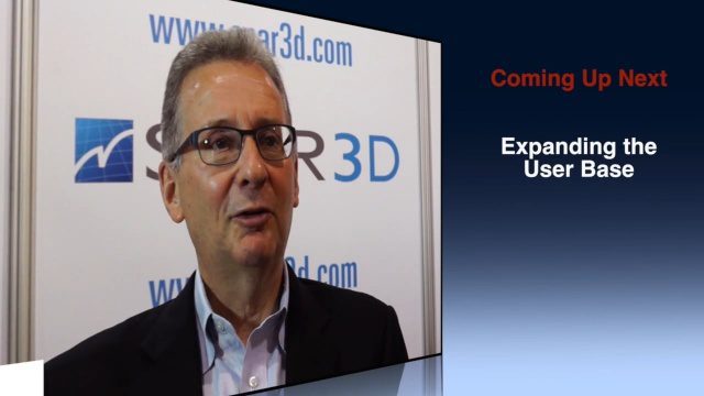
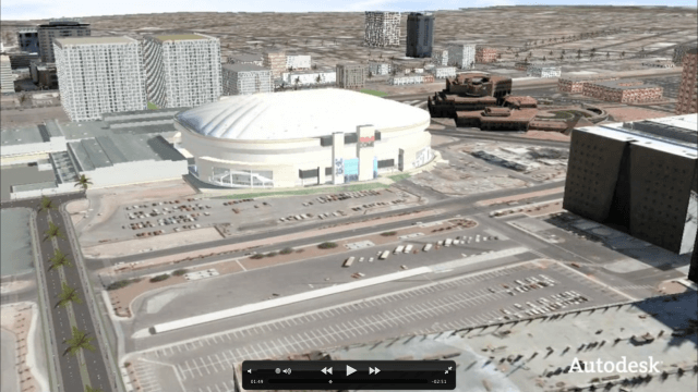
Greg Bentley Discusses Reality Modeling Worldwide
0 Views0 Comments0 Likes
The V1 Video team interviewed Greg Bentley, CEO of Bentley Systems, at the 2016 SPAR 3D Expo and Conference, held April 11-14 in The Woodlands, Texas. In Part II, he discusses how reality modeling is being applied in several locations across the world, the impacts such modeling is having in expanding the user base beyond engineering and how reality modeling can provide substantial return on investment.
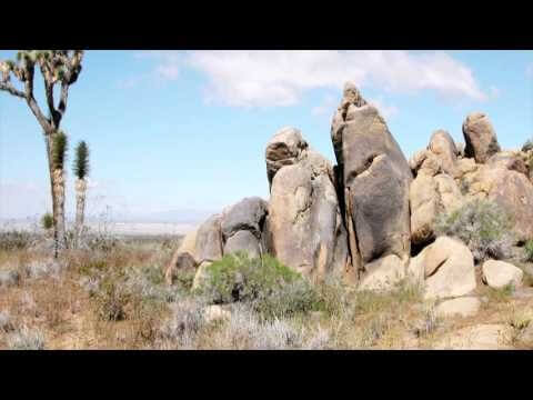
ACEC Colorado Award Winner: Data Fusion Predicts Habitat Quality
0 Views0 Comments0 Likes
Edwards Air Force Base is located in California’s Mojave Desert, which is home to unique and threatened species such as the desert tortoise, the Joshua tree and desert springparsley. The Air Force monitors impacts of its operations on habitats using multispectral satellite imagery and traditional aerial and field approaches. Hyperspectral imagery and Light Detection and Ranging (LiDAR) remotesensing technologies are being used as more cost-effective methods to collect and analyze spatial data related to habitat quality. Merrick & Company, the primary mapping consultant, was responsible for overall technical implementation, aviation coordination, sensor integration, LiDAR acquisition and point cloud post-processing. Fusing and modeling discreet remotely sensed data from several digital sensors is used to assess habitat quality for inventory and preservation of unique desert species, enabling systematic comparisons to be made over time for effective management of the desert ecosystem. The data also helps to substantiate that operations on Edwards Air Force Base do not degrade habitat quality that may result in the loss of sensitive species in the region.


