Category: Found on the Internet
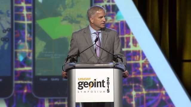
Robert Cardillo, NGA Director – Keynote Full Presentation | GEOINT 2015
0 Views0 Comments0 Likes
USGIF's Trajectory On Location published this video of the keynote presentation delivered by Robert Cardillo, director of the National Geospatial-Intelligence Agency, at the GEOINT Symposium 2015.
Roger Tomlinson Tribute (Excerpt)
0 Views0 Comments0 Likes
ROSA Deploys on International Space Station
0 Views0 Comments0 Likes
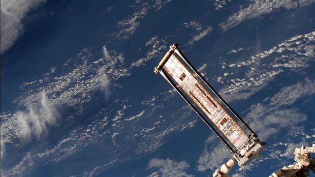
The Roll-Out Solar Array (ROSA) was deployed from the end of the Canadarm2 robotic arm Sunday, June 18 outside the International Space Station.
Safety Test of World’s Longest Glass Bridge
0 Views0 Comments0 Likes
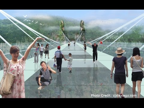
The world's highest and longest glass bridge, Zhangjiajie Grand Canyon Glass Bridge, opened to the public on Aug. 20, 2016. It offers a way to enjoy a panoramic view of the stunning Zhangjiajie Grand Canyon — if you dare to walk on it!
Satellite Animation Sees Hurricanes Katia, Irma and Jose
0 Views0 Comments0 Likes
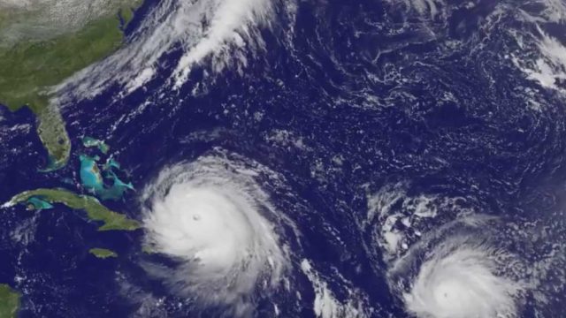
This animation of NOAA's GOES East satellite imagery from Sept. 5 at 7:45 a.m. EDT (1145 UTC) to Sept. 8 ending at 7:45 a.m. EDT (1145 UTC) shows Category 4 Hurricane Irma approach the Bahamas, followed by Hurricane Jose approaching the Leeward Islands. Hurricane Katia continues to spin in the southwestern Gulf of Mexico.
Satellite Animation Shows Harvey Moving into Gulf
0 Views0 Comments0 Likes
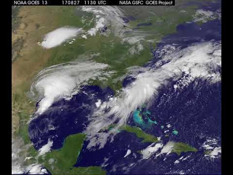
This animation of NOAA's GOES East satellite imagery from 9:15 a.m. CDT, Aug. 26, 2017, to 9:30 a.m. CDT, Aug. 28, 2017, shows Hurricane Harvey transitioning to a tropical storm at 1 p.m. CDT on Aug. 26, 2017, and slowly emerging in the Gulf of Mexico on Aug. 28.
Satellite Monitoring of Grand Paris Express
0 Views0 Comments0 Likes
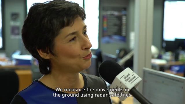
The Grand Paris Express is an unprecedented urban development project centred on a major expansion of the existing public transport network for the whole Paris metropolitan area.
Satellite Radar Vision Whiteboard
0 Views0 Comments0 Likes
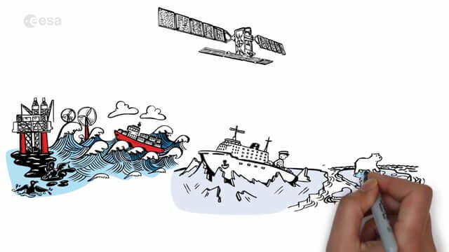
Discover how the European Space Agency Sentinel-1 mission uses its radar to provide an all-weather, day-and-night supply of imagery of Earth’s surface to make our lives safer.
Satellite-Based Search and Rescue
0 Views0 Comments0 Likes
With the launch of Initial Services, Galileo will help search and rescue operators respond to distress signals faster and more effectively while also lowering their own exposure to risk.


