


Category: Found on the Internet

Earth from Space: Easter Island
894 Views0 Comments0 Likes
In this week's edition of the Earth from Space programme, Copernicus Sentinel-2 takes us over one of the most remote islands in the world: Easter Island.
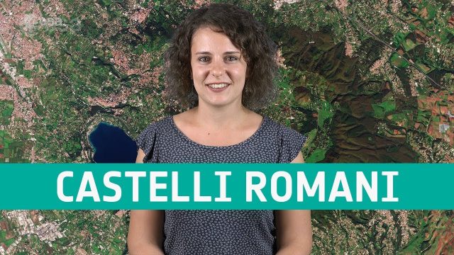
Earth from Space: Castelli Romani
676 Views0 Comments0 Likes
In this week's edition of the Earth from Space program, Copernicus Sentinel-2 takes us over a set of small towns, located around 20 km southeast of Rome, Italy and known collectively as Castelli Romani.
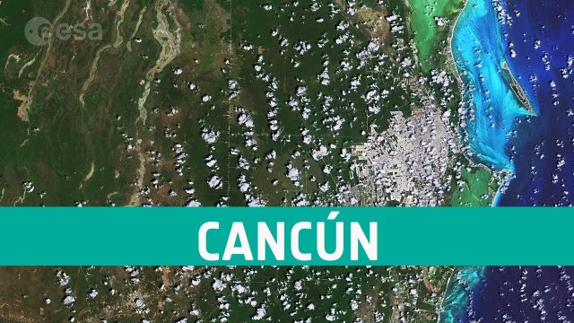
Earth from Space: Cancún, Mexico
14 Views0 Comments0 Likes
The Copernicus Sentinel-2 takes us over Cancún, on the northeast coast of Mexico’s Yucatán Peninsula, in this edition of ESA's Earth from Space program.
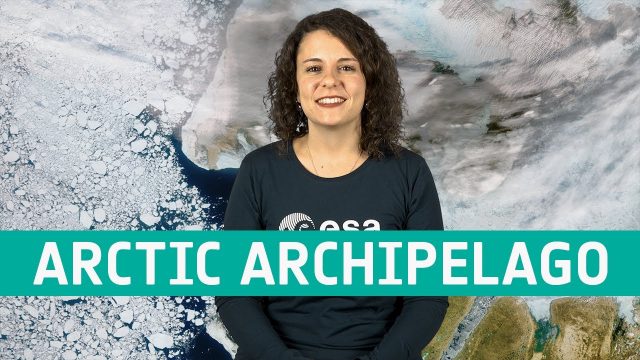
Earth from Space: Canadian Arctic Archipelago
671 Views0 Comments0 Likes
The Copernicus Sentinel-3 mission takes us over part of the Canadian Arctic Archipelago, in this week's edition of the Earth from Space program.
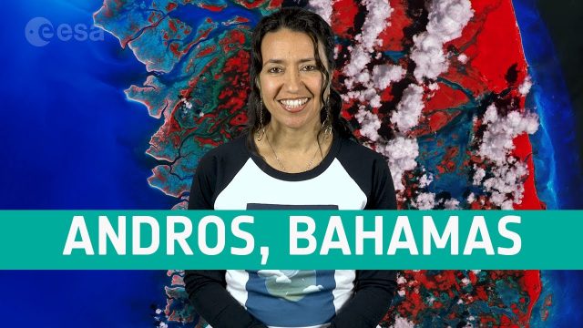
Earth from Space: Andros, Bahamas
556 Views0 Comments0 Likes
In this week's edition of the Earth from Space program, the Copernicus Sentinel-2 mission takes us over Andros, the largest island of the Bahamas.
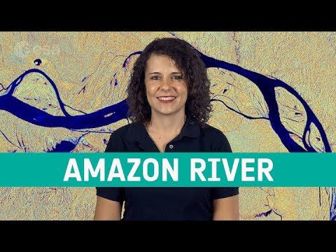
Earth from Space: Amazon River
452 Views0 Comments0 Likes
The Copernicus Sentinel-1 mission takes us over the Amazon River meandering through one of the most vital ecosystems in the world: the Amazon rainforest in South America, in this week's edition of the Earth from Space program.

Earth Day 1970 Part 1: Intro (CBS News with Walter Cronkite)
322 Views0 Comments0 Likes
Original broadcast of CBS News Special Report with Walter Cronkite about the first Earth Day, 1970. Also known as Earth Week 1970.
Earth 360 Video: The Call of Science
908 Views0 Comments0 Likes
Join NASA Earth scientists for a 360-degree view of our planet as they head into the field to study ice in Greenland and coral reefs in Hawaii.
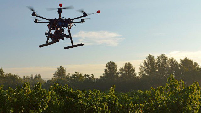
Drones for Good (HP)
1.31K Views0 Comments0 Likes
Most people associate drones with the military - an invasive eagle eye hovering from above. What many people don't realize, however, is the tremendous good drones can do. Information from drones can be used for valuable data collection, telling us things we can't see from the ground and helping countries and communities after natural disasters. A drone can spot structural damage, road blocks, and even save human lives. To learn more about using drones for social good and how technology is revolutionizing all means of transportation.
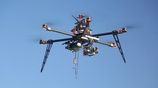
Drones for Aerial Survey and 3D Modelling Updated
2.20K Views0 Comments0 Likes
This video replaces an earlier upload demonstrating the extraction of 3D detail for buildings and/ or terrain from high resolution drone aerial photographs using photogrammetry and geo-referencing. This version includes high definition footage from a simulated autonomous circular aerial survey of an industrial asset, incorporating VidiAir's precision ground survey control points (significantly more accurate than Google Earth), EMF/ RF protection and laser range-finding with telemetry - an important consideration when flying in close proximity to structures/ obstacles, particularly in gusting winds.


