


Category: Found on the Internet

Hurricane Forecasts Rely on Modeling the Past
988 Views0 Comments0 Likes
Improving hurricane forecasts means testing historical storms with today's sophisticated models and supercomputers. NASA and NOAA work together in gathering ground and satellite observations, as well as experimenting with research forecast models. As a result of this collaboration, model resolution has increased, and scientists are discovering more about the processes that occur within these powerful storms. The Global Precipitation Measurement (GPM) Mission is a joint NASA and Japan Aerospace Exploration Agency (JAXA) mission that measures all forms of precipitation around the globe. GPMs Microwave Imager, or GMI, has proven useful in seeing beneath the swirling clouds and into the structure of tropical cyclones. The information gathered by GPM and other missions will be used to improve forecast models.
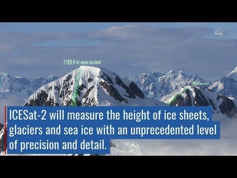
ICESat-2 Adds Third Dimension to Earth
979 Views0 Comments0 Likes
ICESat-2 will provide scientists with height measurements that create a global portrait of Earth's third dimension, gathering data that can precisely track changes of terrain including glaciers, sea ice, forests and more.
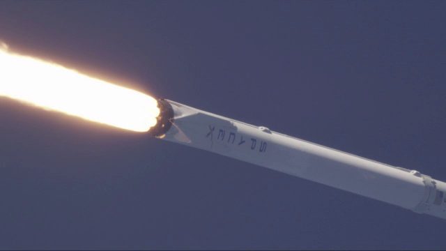
SpaceX Falcon 9 Liftoff with TESS
978 Views0 Comments0 Likes
A Falcon 9 rocket lifts off at 6:51 p.m. EDT from Space Launch Complex 40 at Cape Canaveral Air Force Station carrying NASA's Transiting Exoplanet Survey Satellite (TESS).
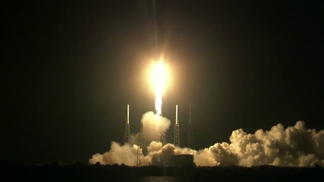
SpaceX CRS-15 Liftoff
978 Views0 Comments0 Likes
The SpaceX CRS-15 Falcon 9 rocket lifts off from Space Launch Complex 40 at Cape Canaveral Air Force Station, sending a Dragon spacecraft on the company's 15th commercial resupply services mission to the International Space Station.
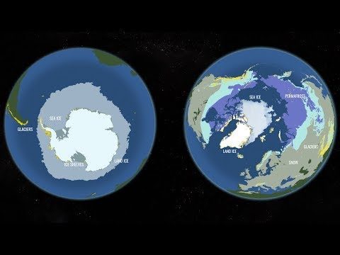
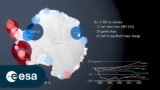
Two New Satellites Set to Study One of Earth’s Most Critically Changing Regions
975 Views0 Comments0 Likes
In 2018, NASA will intensify its focus on one of the most critical but remote parts of our changing planet with the launch of two new satellite missions and an array of airborne campaigns.
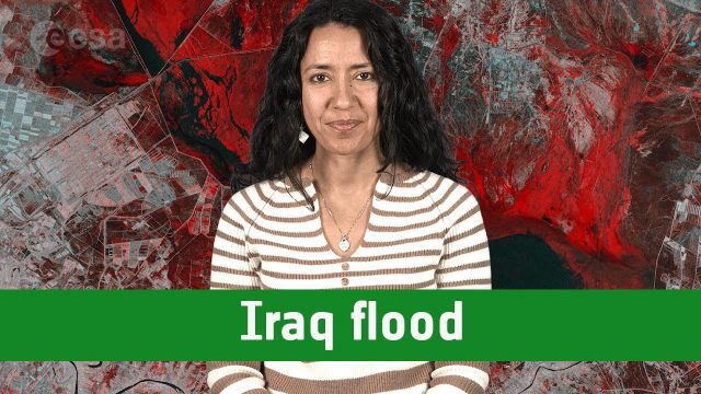
Earth from Space: Iraq Flood
970 Views0 Comments0 Likes
The Copernicus Sentinel-1 satellite takes us over one of the areas in Iraq that suffered flooding recently in this edition of the #EarthfromSpace program.
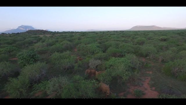
Wildlife Works Kasigau Corridor REDD+ Project, Kenya
969 Views0 Comments0 Likes
Founded in 1997, Wildlife Works has been a pioneer in market based solutions for conservation for 21 years.
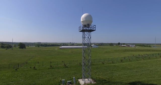
Radar Making Rainfall Forecasts More Accurate
955 Views0 Comments0 Likes
Researchers from the University of Missouri have developed a system that improves the precision of forecasts by accounting for evaporation in rainfall estimates, particularly for locations 30 miles or more from the nearest National Weather Service radar.
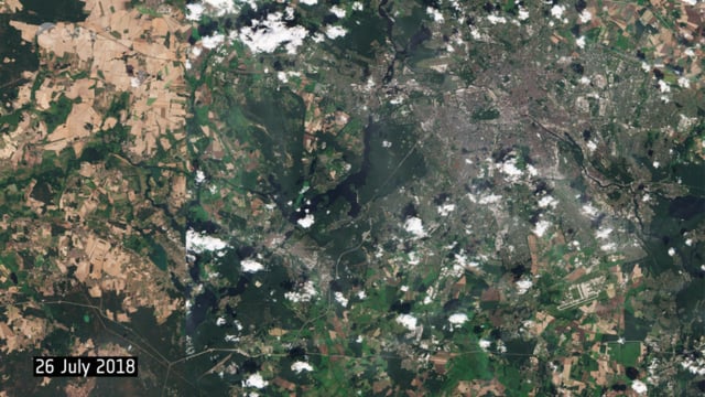
Berlin Battles Heatwave
947 Views0 Comments0 Likes
This year’s heatwave continues to sweep across Europe, with wildfires reported across the continent, as the current heat scorches land and vegetation in countries such as the UK, Sweden and Greece. These two images from the Copernicus Sentinel-2 mission show agricultural fields and land around the capital of Germany, Berlin.
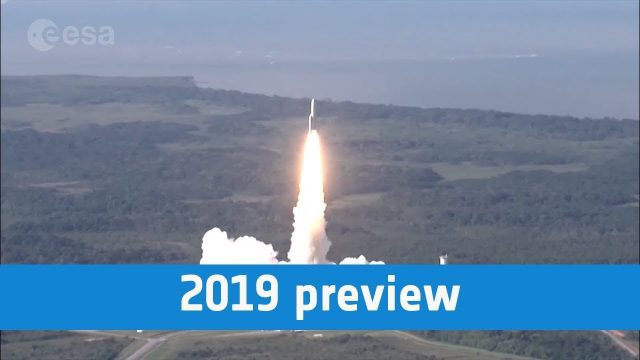
European Space Agency 2019 Preview
947 Views0 Comments0 Likes
ESA astronaut Luca Parmitano will return to the International Space Station, in Science Cheops will look at exoplanets, while the EDRS-C satellite will start the era of super-fast data relay on orbit.


