


Category: Found on the Internet
NASA | Earth from Orbit 2013
1.57K Views0 Comments0 Likes
A fleet of orbiting satellites monitors Earth constantly. The satellites from NASA and other space agencies give us a fresh, wide perspective on things that we can see from the ground -- and things that we can't.
Sentinel-3 for Oceans
1.56K Views0 Comments0 Likes
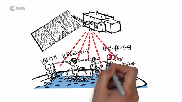
In honor of the launch of Sentinel-3A on Feb. 16, 2016, here's a video about the satellite: Covering 70% of the planet, the oceans are directly linked to our weather and climate. They are also essential for global transport and provide a wealth of resources. What happens far out to sea has a direct effect on societies all over the world. Sentinel-3 provides crucial observations of our oceans, helping us to understand the overall health of our planet.

Two Decades of Rain, Snowfall from NASA’s Precipitation Missions
1.55K Views0 Comments0 Likes
NASA’s Precipitation Measurement Missions (PMM) have collected rain and snowfall from space for nearly 20 years, and for the first time in 2019, scientists can access PMM’s entire record as one data set.

Understanding GIS – An Overview
1.55K Views0 Comments0 Likes
Geographic Information Systems are used by professionals and academics all over the world to investigate problems ranging from the spread of disease to the damage caused by hurricanes. Learn more about the University of Michigan-Flint's GIS Certificate by visiting umflint.edu/gis/gis-center
Meteors Encountering Earth’s Atmosphere
1.54K Views0 Comments0 Likes
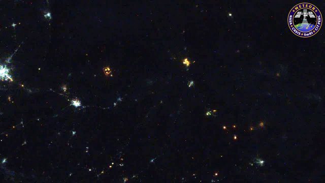
This video was acquired August 10, 2016, with a high-resolution video camera onboard the International Space Station (ISS). Within the span of about 10 seconds, two meteors associated with the Perseid meteor shower streak across the sky above Pakistan. Video was provided by Tomoko Arai/Japan’s Planetary Exploration Research Center/Meteor Composition Determination (Meteor) investigation.
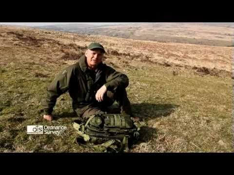
Read a Map and Use a Compass
1.53K Views0 Comments0 Likes
Simon King and Ordnance Survey provide basic instruction on map and compass use.

Google Geospatial Technologist Talks Trends
1.53K Views0 Comments0 Likes
INTERGEO TV interviews Ed Parsons, geospatial technologist at Google, about his thoughts on the future of the map and related technology.
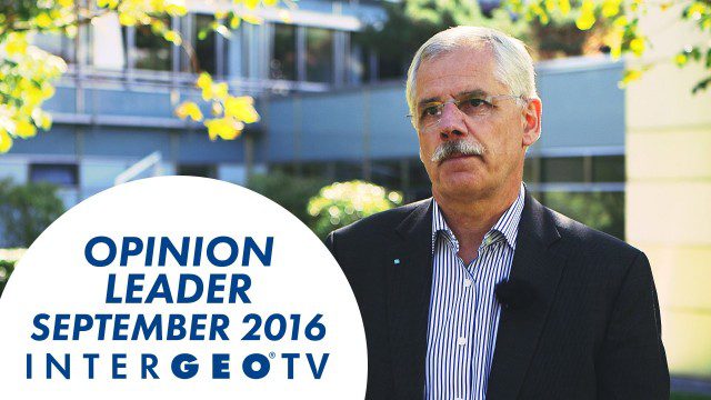
Dr. Joachim Rix – INTERGEO Opinion Leader Talk
1.53K Views0 Comments0 Likes
Dr. Joachim Rix, Competence Center Spatial Information Management at Fraunhofer IGD, speaks about the project “Smarticipiate” and his congress block at INTERGEO in Hamburg.
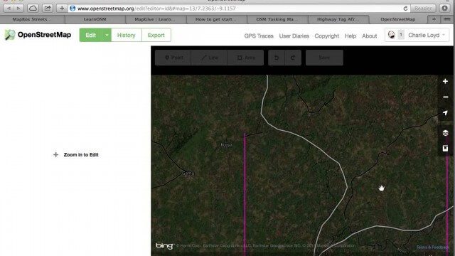
Tracing Demonstration for the Humanitarian OpenStreetMap Team (HOT)
1.53K Views0 Comments0 Likes
This is a simple demonstration of what it looks like to trace for the Humanitarian OpenStreetMap Team (HOT). It’s not meant as a full guide, just an example. If I’m too mumbly, please turn on the captions – the CC button below the video.
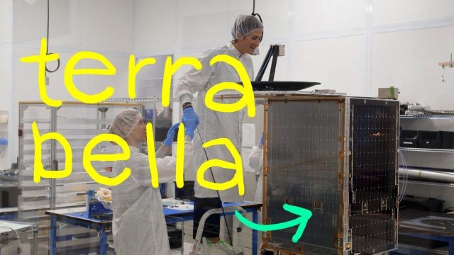
Terra Bella, Google’s Satellite Startup
1.51K Views0 Comments0 Likes
We both grew up on a healthy diet of sci-fi shows and LOVE space, so ever since a couple of years ago when we heard that a satellite company had joined Google...we’ve been wanting to visit it. Which we finally did in this episode! Get ready for lots of cool satellite imagery + info. Want to learn more about Terra Bella? → https://terrabella.google.com/


