Category: Found on the Internet
ScienceCasts: NASA Embraces Small Satellites
0 Views0 Comments0 Likes
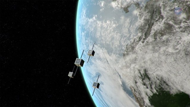
NASA is embracing small satellite designs, from tiny CubeSats to micro-satellites. These miniature marvels are providing many ways to collect science data and to demonstrate new technologies.
Sentinel-2B Prepared for Liftoff
0 Views0 Comments0 Likes
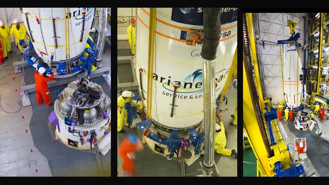
This timelapse video shows Sentinel-2B satellite, from final preparations to liftoff on a Vega launcher, flight VV09, from Europe’s Spaceport in French Guiana, on 7 March 2017.
Recent Rains Drench California
0 Views0 Comments0 Likes
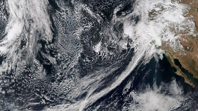
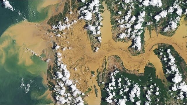
Recent rainfalls have drenched the state of California. Imagery from NASA satellites show the result of several atmospheric rivers, known as the Pineapple Express, which carry moisture from as far away as the Hawaiian Islands.
Satellite-Based Search and Rescue
0 Views0 Comments0 Likes
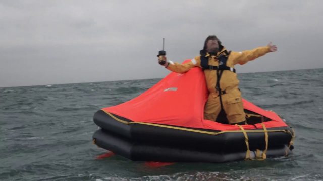
With the launch of Initial Services, Galileo will help search and rescue operators respond to distress signals faster and more effectively while also lowering their own exposure to risk.
Prescribed Forest Fire Frequency Should Be Based on Land Management Goals
0 Views0 Comments0 Likes
Researchers at the University of Missouri have studied forests subjected to different frequencies of fires to determine what effects fire can have on oak forests over long periods of time.
2017 Drone Data Race
0 Views0 Comments0 Likes
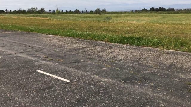
On April 22, 2017, the Aerial and Aquatic Robot Research group (AARR) of the California State University Channel Islands hosted the first Drone Data Race in Camarillo, CA.
A Celebration of Clouds
0 Views0 Comments0 Likes
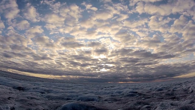
Clouds can be a nuisance when scientists are trying to observe features on Earth's surface. But at other times, clouds are exactly what they want to see. These images highlight some of the more unusual and beautiful...
SWIPA 2017: Snow, Water, Ice and Permafrost in the Arctic
0 Views0 Comments0 Likes
A video summarizes information products and materials presenting the results of the 2017 Snow, Water, Ice and Permafrost in the Arctic (SWIPA) assessment coordinated by the Arctic Monitoring and Assessment Programme (AMAP).
Landsat Tracks Mount St. Helens Recovery
0 Views0 Comments0 Likes
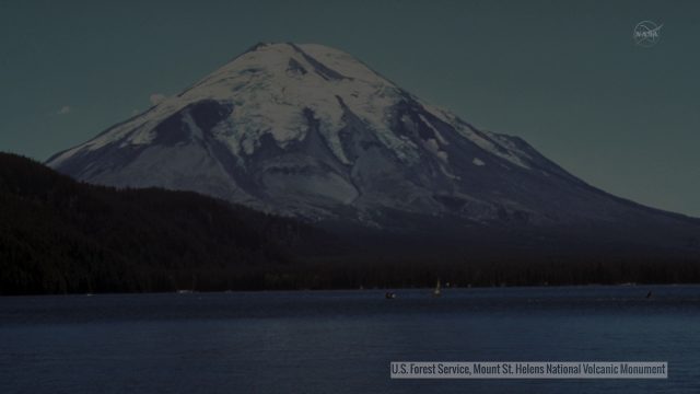
By observing different wavelengths of light reflected off the surface, Landsat data can identify different types of land cover.
EPIC Observations of Ice in Earth’s Atmosphere
0 Views0 Comments0 Likes
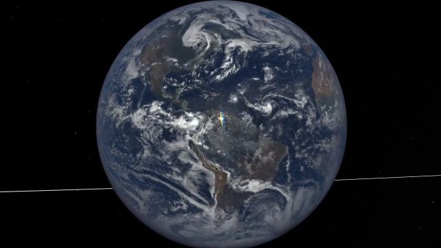
Parked in space a million miles from Earth, the Earth Polychromatic Imaging Camera (EPIC) onboard the Deep Space Climate Observatory (DSCOVR) captures glimmers of reflected sunlight, evidence of ice crystals in the atmosphere.


