


Category: Found on the Internet
Meet ICON: NASA’s Airglow Explorer
934 Views0 Comments0 Likes
NASA's Ionospheric Connection Explorer, or ICON, launched on Nov. 7, 2018, and orbits above the upper atmosphere, through the bottom edge of near-Earth space.
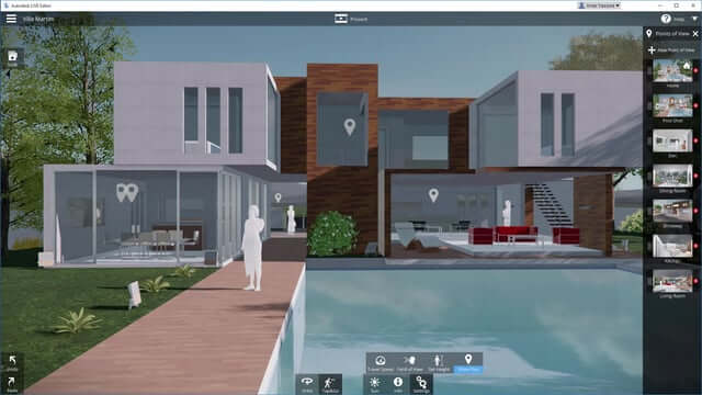
Autodesk LIVE Brings Interactive Storytelling to Life
2.67K Views0 Comments0 Likes
Autodesk Inc. recently launched Autodesk LIVE, a new interactive visualization service that offers Revit users in the architecture, engineering and construction industries (AEC) the ability to transform their designs into fully interactive 3D models. This video provides a demo of the new technology.
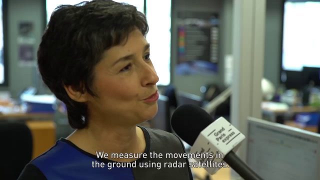
Satellite Monitoring of Grand Paris Express
1.02K Views0 Comments0 Likes
The Grand Paris Express is an unprecedented urban development project centred on a major expansion of the existing public transport network for the whole Paris metropolitan area.
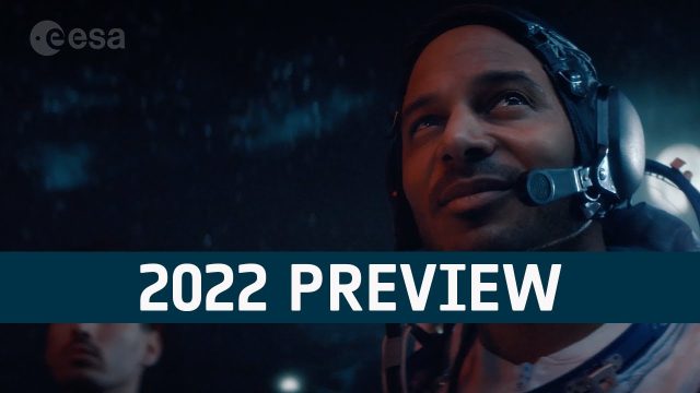
European Space Agency (ESA) 2022 Preview
22 Views0 Comments0 Likes
As always, a new year brings new and exciting missions and launches for ESA. In science the world looks forward to the first image releases of the recently launched James Webb Space Telescope and the third data relea...

Why Attend Bentley Systems YII 2016
3.72K Views0 Comments0 Likes
This video from Bentley Systems shows highlights of the 2015 event and what attendees can expect if they convene in London in 2016.
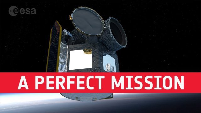
Cheops: Planning a Perfect Mission
671 Views0 Comments0 Likes
Teams of scientists and engineers are simulating the launch, early orbit phase and commissioning of the CHEOPS mission ahead of its launch period in the last quarter of 2019. The simulations are taking place at the CH...
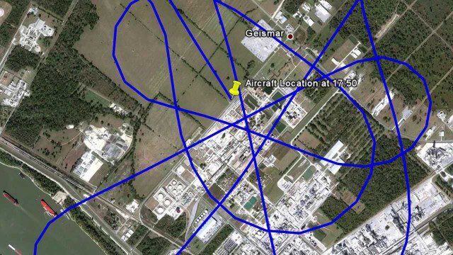
ASPECT: Flying for First Responders
2.15K Views0 Comments0 Likes
EPA's Airborne Spectral Photometric Environmental Collection Technology (ASPECT) provides infrared and photographic images with geospatial, chemical and radiological information within minutes to the first responder.

OcuTech 360 Video Mapping
3.65K Views0 Comments0 Likes
OcuTech 360 is an inclusive provider of 360 degree visual technologies that are applied in geospatial mapping. Thanks to state of the art hardware and software, you can now digitize infrastructure and interact with data in 3D space, take 3D measurements, and annotate. For more info, please visit ocutech360.com or contact [email protected].

The Global Sensor Network – University of South Australia
2.47K Views0 Comments0 Likes
Australia has a combined land and sea territory of more than 8 million square kilometers. Yet most of this is currently out of the reach of affordable communication. Now the University of South Australia's Institute for Telecommunications Research has turned this on its head, with the development of the Global Sensor Network. The Global Sensor Network is an innovative signal processing system which provides low cost, two-way, simultaeneous satellite communications to multiple users.
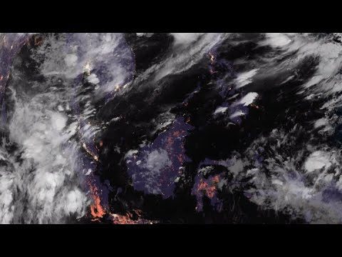
NASA’s CAMP2Ex Heads to the Philippines for Monsoon Season
661 Views0 Comments0 Likes
NASA, the Naval Research Laboratory and the Manila Observatory are working together in the Philippines to study how tiny particles in the atmosphere affect cloud formation.


