


Category: Found on the Internet
Environment Prize-Winner Uses Satellites to Reveal Human Impact
2.19K Views0 Comments0 Likes
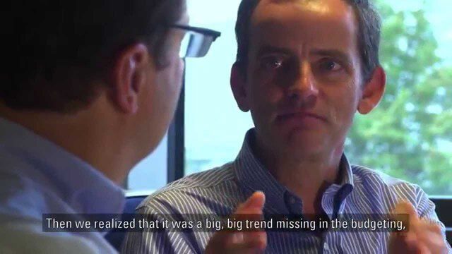
Eric Lambin, the winner of the 2014 Volvo Environment Prize is a remote sensing pioneer using satellite images and advanced data collection to analyse land use and the influence of humans on the planet. Watch the video on Eric Lambin’s research and about the Ecology of Happiness. Read more about the Volvo Environment Prize at: http://www.environment-prize.com/
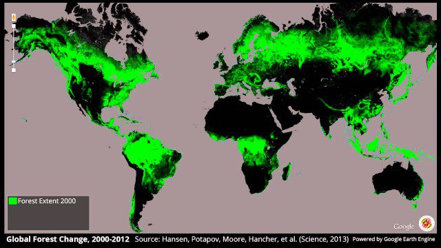
Global Forest Change, 2000-2012
2.19K Views0 Comments0 Likes
Ordnance Survey: Finding a Way
2.16K Views0 Comments0 Likes
Ordnance Survey is very proud to be introducing a refreshed visual identity. Take a look at how much we've changed in our 224 years.
ASPECT: Flying for First Responders
2.15K Views0 Comments0 Likes
EPA's Airborne Spectral Photometric Environmental Collection Technology (ASPECT) provides infrared and photographic images with geospatial, chemical and radiological information within minutes to the first responder.
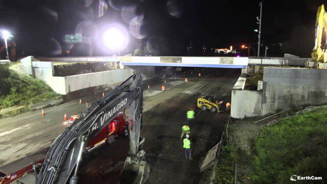
Barton Corner Bridge Project
2.15K Views0 Comments0 Likes
In August 2014 we completed replacement of the Barton Corner Bridge, which carries four lanes of I-95 plus two auxiliary lanes at a busy interchange with Route 2 on the Warwick/West Warwick line. Using accelerated bridge construction, we built two halves of the bridge on land adjacent to the overpass, and then moved them into place. This enabled us to build the bridge much faster compared with conventional construction methods, which would have taken twice the time. This approach also allowed us to do the work with no impact to Interstate traffic prior to installation.
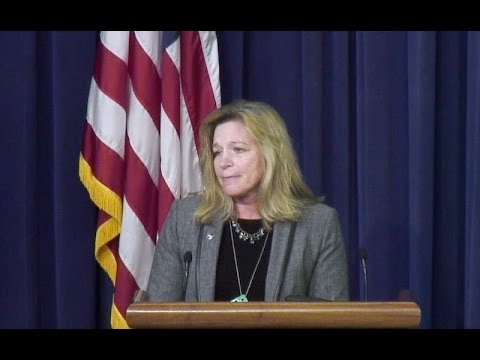
White House Climate Data Initiative
2.15K Views0 Comments0 Likes
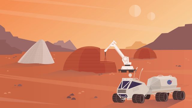
NASA’s 3-D Printed Habitat Challenge
2.14K Views0 Comments0 Likes
NASA Centennial Challenges wants YOUR help building a 3-D printed habitat on Mars. NASA and its partners are holding a $2.5 million competition to build a 3D printed habitat for deep space exploration, including the agency’s journey to Mars.
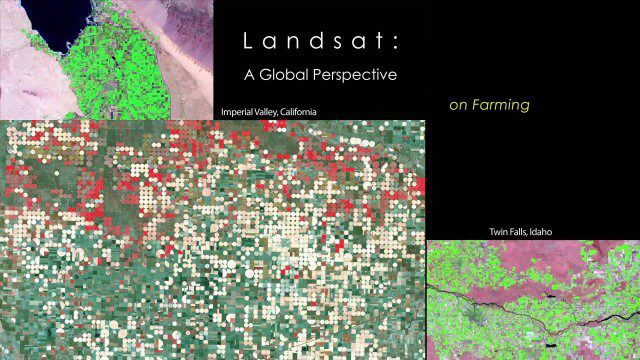
NASA | Landsat’s Global Perspective
2.14K Views0 Comments0 Likes
On July 23rd, 1972, the first Landsat spacecraft launched into orbit. At the time, it was called "Earth Resources Technology Satellite," or ERTS, and was the first satellite to use a scanning spectrophotometer. Previous satellites relied on film cameras (ejecting the exposed film to be caught by planes) or transmitted the signal from television cameras. The scanning sensor and its successor sensors on subsequent Landsat satellites revolutionized how we study our home planet. Celebrating this anniversary, this video is a "greatest hits" montage of Landsat data. Throughout the decades, Landsat satellites have given us a detailed view of the changes to Earth's land surface. By collecting data in multiple wavelength regions, including thermal infrared wavelengths, the Landsat fleet has allowed us to study natural disasters, urban change, water quality and water usage, agriculture development, glaciers and ice sheets, and forest health.

Achim Steiner – Eye on Earth Summit 2015
2.12K Views0 Comments0 Likes
Over 650 delegates from government, UN bodies, the non-governmental sector, private sector, academia and civil society will gather in Abu Dhabi between 6 and 8 October for the Eye on Earth Summit 2015. Learn more here: www.eoesummit.org
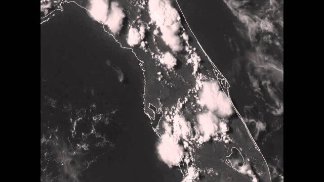
GOES-14 VIS Imagery over Florida
2.11K Views0 Comments0 Likes


