


Category: Conference Interviews
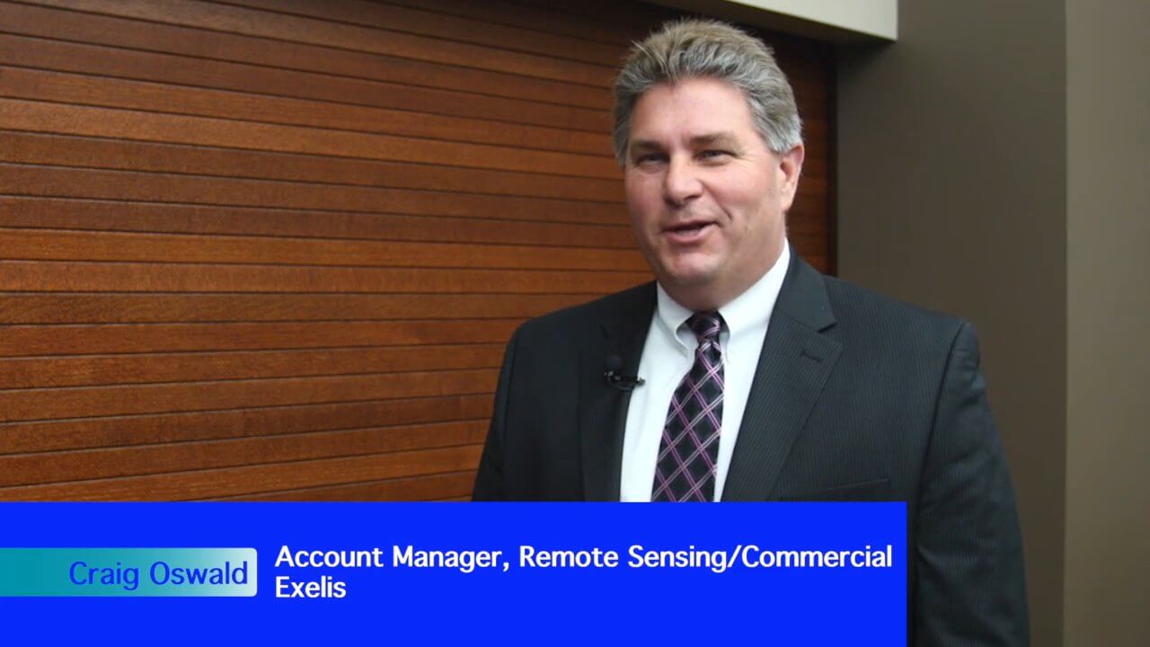
Exelis Aims at Small Satellite Sensor Development
0 Views0 Comments0 Likes
Earth Imaging Journal spoke with Craig Oswald, account manager for remote-sensing commercial markets at Exelis. We spoke about the smallsat market as well as maintaining high imagery quality while riding the faster, better, cheaper wave as Earth-observation satellites continue to proliferate.

Exelis Discusses Climate Instrument Specialization and Demand
0 Views0 Comments0 Likes
Matt Ball spoke with Eric Webster, VP and Director, Environmental Intelligence, Geospatial Systems, Exelis, at the recent International Space Symposium. The conversation covered some recent sensor contract wins with NASA and JAXA as well as discussion about the evolution of sensors from hardware- to software-based, affording much greater on-orbit flexibility.
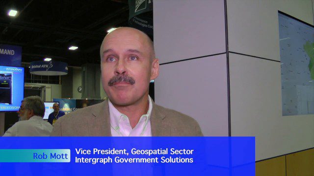
Extending Geospatial Capabilities to Support Government Missions
0 Views0 Comments0 Likes
The V1 Video team interviewed Rob Mott, vice president, Geospatial Sector, Intergraph Government Solutions, at the GEOINT Symposium in Washington, D.C. We spoke about the geospatial technological advancements, and how it is becoming more mission critical due to being more accessible and reliable. Intergraph is embracing new sensor platforms, Big Data analytics, and harnessing the cloud to ease integration and exploit geospatial information.

Factoring in Project Costs During Design
0 Views0 Comments0 Likes
The V1 Video team interviewed Dustin Parkman at the 2015 Bentley Year in Infrastructure Conference in London in early November. Parkman, vice president of product development at Bentley Systems for their road, rail and site products, spoke about the company's new OpenRoads ConceptStation software with a focus on some of the unique benefits.
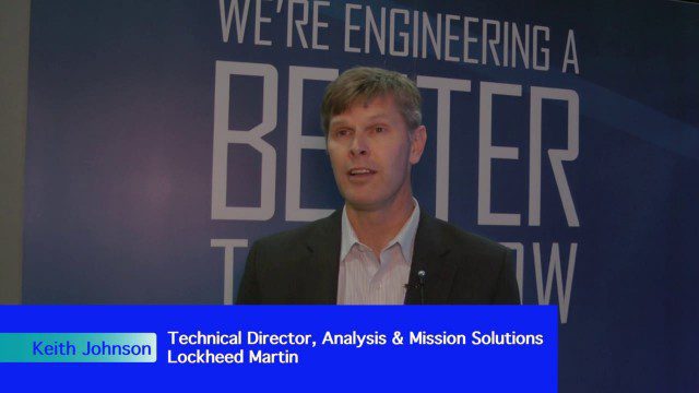
Fusing Data through Automation to Provide Insight
0 Views0 Comments0 Likes
The V1 Video team interviewed Keith Johnson, technical director for Analysis & Mission Solutions at Lockheed Martin, at the GEOINT Symposium in Washington, D.C. We spoke about making sense of imagery; wide-area full-motion video; and textual, social, civil, signals and cyber inputs for decision makers. Lockheed Martin is focused on automation to deliver the right type of data to the analyst as well as providing next-generation sensors with on-board processing that complement other expanding sensors.

Gabe Svobodny Discusses Natural Resource Management at Esri UC
0 Views0 Comments0 Likes
Todd Danielson, editorial director of Informed Infrastructure and V1 Media, interviewed Gabe Svobodny, Division of Forestry, Fire and State Lands, Utah Department of Natural Resources, at the 2023 Esri User Co...

GEO Looking to Increase Partnerships with the Private Sector
0 Views0 Comments0 Likes
Matt Ball interviews Barbara Ryan, Director, Group on Earth Observations (GEO) Secretariat, at the 2014 Esri User Conference in San Diego. Ryan discusses her role at GEO; a key meeting in Geneva, Switzerland; the next 10 years at the organization; and its growth in partnering with the private sector.
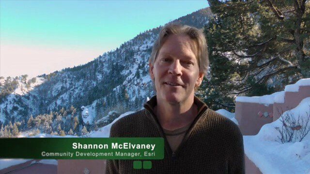
Geodesign Leader Discusses Concepts from “Earthship” Home
0 Views2 Comments0 Likes
Shannon McElvaney, Esri's Community Development Manager, spoke with Matt Ball, V1 Media's founder and editorial director, from his "Earthship" home in Colorado Springs, Colo., on Jan. 2., 2015, just weeks before the Geodesign Summit 2015. McElvaney is instrumental in holding the annual summit, and he discusses his thoughts on geodesign and connected construction.
Geodesign Summit 2015: Attendee Feedback
0 Views0 Comments0 Likes
The Geodesign Summit 2015 featured a variety of speakers and topics focused on designing a better and smarter built environment. This video produced by GeoSpatial Stream presents immediate feedback from attendees describing what geodesign means to them and how they plan to apply what they learned at the event to their jobs and lives.

Geodesign Summit 2015: Speaker Highlights
0 Views0 Comments0 Likes
The Geodesign Summit 2015 featured a variety of speakers and topics focused on designing a better and smarter built environment. This video produced by GeoSpatial Stream highlights some of the best, funniest and most thought-provoking moments.


