Tag: video
Capturing the Iconic Red Rocks Park and Amphitheater
0 Views1 Comments0 Likes
The V1 Video Team made a site visit to Red Rocks Amphitheater and Park to capture video interviews and witness an ambitious drone-based reality-capture exercise to photograph and model the mountain park. The visualization team from engineering firm Kimley-Horn captured the area for the City and County of Denver, which owns and maintains the park. Autodesk and its partner 3D Robotics were on hand to demo their collaboration on SiteScan, which creates an automated workflow from drone capture to use within Autodesk’s modeling software. The mission had many purposes, including historical archiving of the park, modeling stormwater erosion, tracking trail maintenance, and building acoustics and lighting models for the amphitheater.
6_30 Drones and GIS Broadcast (FAA Rule, Esri UC and More)
0 Views0 Comments0 Likes
This GeoSpatial Stream broadcast discusses the landmark FAA Rule Part 107 for small UASs/UAVs/drones and its effect on the U.S. economy; highlights from the 37th Esri User Conference in San Diego; industry news from SmarterBetterCities, Trimble, Cadcorp and Esri; an Esri video that opened the recent UC; and more.
6_16 Infrastructure Broadcast (PDH Credit, HxGN Live and More)
0 Views0 Comments0 Likes
This Infrastructure-themed GeoSpatial Stream broadcast discusses the latest issue of Informed Infrastructure, including an article on Treasure Island bridge design, PDH credit for an Autodesk benchmark study, and new Web site features and interviews; video clips from the recent HxGN Live event covering Hexagon's latest technologies and direction; industry news from Hexagon, CINTEC America, Contech Engineered Solutions and CoreLogic; thoughts on an upcoming road trip across America's infrastructure; and more.
6_9 Earth Imaging Broadcast (Satellite Success, Asteroid Mining and More)
0 Views0 Comments0 Likes
This Earth Imaging-themed GeoSpatial Stream broadcast discusses the recent streak of success at the European Space Agency, including its Sentinel and Galileo launches as well as a demonstration of the SpaceDataHighway; a NASA video about its North Atlantic Aerosols and Marine Ecosystems Study (NAAMES) mission; industry news from Merrick-Surdex Joint Venture, TerraGo, Earth-i, Teledyne Optech and Siteco Informatica; thoughts on asteroid mining and related benefits to Earth sensing; and more.
Harris Sensors Monitor Urban Environments
0 Views0 Comments0 Likes
The V1 Video team interviewed Eric Webster, Vice President and General Manager of Environmental Solutions at Harris Corp., at the 32nd Space Symposium held April 11-14, 2016, in Colorado Springs, Colo. He discusses the company's GreenLITE carbon dioxide monitoring system and how it can monitor an entire city, an example of the technology being used in Paris, and the benefits of a multi-sensor platform for environmental analysis.
A Revolution in the Value of Remote Sensing
0 Views0 Comments0 Likes
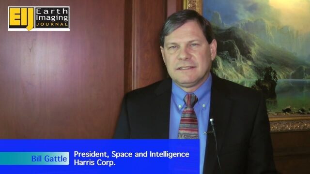
The V1 Video team interviewed Bill Gattle, President of Space and Intelligence at Harris Corp., at the 32nd Space Symposium held April 11-14, 2016, in Colorado Springs, Colo. He discusses the worldwide value transformation seen in remote sensing, the company's doubling in size with its acquisition of Exelis and the efforts to make that an effective transition, and the growing importance of the GEOINT space.
5_26 Asia Pacific Broadcast (DIWATA-1, Apple Maps and More)
0 Views0 Comments0 Likes
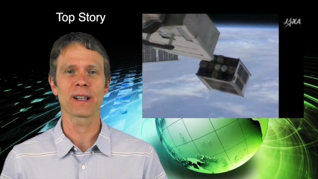
This Asia Pacific-themed GeoSpatial Stream broadcast covers the recent launch of DIWATA-1, The Philippines' first microsatellite; Australia's move toward more-accurate GNSS navigation at its airports; Apple opening a technical and support center in Hyderabad, India, for its Maps and navigation services; industry news from NTT Data, LizardTech, BJ Open Tide BoGan, Ozius Spatial and U-blox; a video clip from JAXA (in Japanese) about weather monitoring; and more.
Working from Reality Capture to Modeling to Consumption
0 Views0 Comments0 Likes
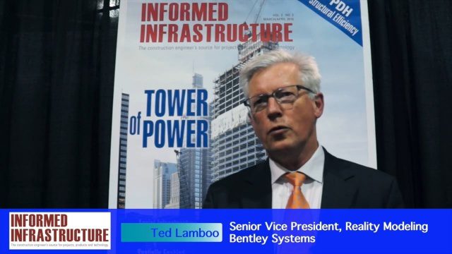
The V1 Video team interviewed Ted Lamboo, Senior Vice President of Reality Modeling for Bentley Systems, at the 2016 SPAR 3D Expo and Conference, held April 11-14 in The Woodlands, Texas. He discusses reality modeling and the full cycle from capture to modeling to consumption, Bentley products used in that cycle such as ContextCapture, and examples of such use in highway design and substation modeling.
Bentley Systems’ Impact on Road and Rail Industries
0 Views0 Comments0 Likes
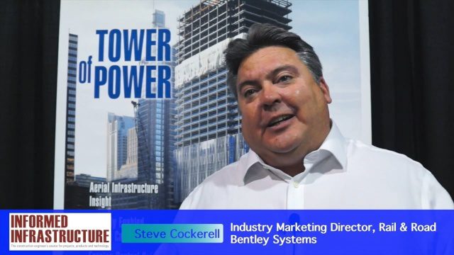
The V1 Video team interviewed Steve Cockerell, Industry Marketing Director of Rail & Road for Bentley Systems, at the 2016 SPAR 3D Expo and Conference, held April 11-14 in The Woodlands, Texas. He discusses the company's ContextCapture, LumenRT and ConceptStatin products as well as the high-profile Crossrail project and how it has changed the company's products and practices.
Software Interoperability Leads to Engineering Productivity
0 Views0 Comments0 Likes
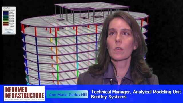
The V1 Video team interviewed Anne Marie Garko-Hill, Technical Manger, Analytical Modeling Unit, Bentley Systems, at the 2016 NASCC: The Steel Conference, held April 13-15 in Orlando, Fla. She discusses engineers' desire for maximum productivity, Bentley Systems' affinity for developers with design experience, the benefits of Bentley software for its users, and how interoperability leads to greater productivity.

