Tag: geospatial
3_31 Remote-Sensing Broadcast (Melting Ice, Deadly Air Pollution, Food Maps and More)
0 Views0 Comments0 Likes
This GeoSpatial Stream broadcast discusses the devastating flooding throughout Europe and how satellites are helping; the 2015 NOAA satellite budget; a new NASA imager for global precipitation; commercial remote-sensing distributors; Airbus Defense and Space and its involvement with Sentinel-5; satellites observing the formation of black holes; and more.
3_26 Climate Broadcast (Melting Ice, Deadly Air Pollution, Food Maps and More)
0 Views0 Comments0 Likes
This GeoSpatial Stream broadcast discusses the world's melting ice and rising seas, a WHO report stating that air pollution kills one in eight worldwide, "Cash for Clunker Maps," Food Maps, a GIS rap, and more.
Dominique Pouliquen Interview (Autodesk)
0 Views0 Comments0 Likes
Matt Ball interviews Dominique Pouliquen, Director of Market Development, IPG/Reality Solutions, Autodesk, at SPAR International in Colorado Springs, Colo. They discuss reality computing, the scanning workflow, ReCap Connect, the new RCS format for point clouds, how plug-ins and Web APIs can help customers, and more.
Patrick Collins Interview
0 Views0 Comments0 Likes
Matt Ball interviews Patrick Collins, Technical Solutions Engineer, Exelis Visual Information Solutions. They discuss the increasing size of LiDAR data and the tools to handle such volume as well as the variety of ways image data can be analyzed, including automated feature extraction.
Letitia Long (Director, NGA) Keynote at 30th Space Symposium
0 Views0 Comments0 Likes
Letitia A. Long, Director of the National Geospatial-Intelligence Agency (NGA), delivered an important and powerful keynote address at the 30th Space Symposium in Colorado Springs, Colo., on May 20, 2014. Topics include the future of space programs and the space industry, their roles in intelligence, the changing nature of worldwide threats, and how space-based platforms can help predict new challenges.
Google Geospatial Technologist Talks Trends
0 Views0 Comments0 Likes
INTERGEO TV interviews Ed Parsons, geospatial technologist at Google, about his thoughts on the future of the map and related technology.
Keith Masback Interview (USGIF CEO at GEOINT)
0 Views0 Comments0 Likes
Todd Danielson interviews Keith Masback, CEO of the U.S. Geospatial Intelligence Foundation (USGIF), at the GEOINT Symposium in Tampa, Florida. They discuss highlights of the event, the effect of the show's unexpected delay from fall 2013 to spring 2014 and what has changed since then, where and when the next event will be held, how technologies start at GEOINT and "trickle down" into the larger industry, industry integration, the wide range of companies in attendance, and more.
Matt Zbysenski Interview (IES Engineering)
0 Views0 Comments0 Likes
Matt Ball interviews Matt Zbysenski, Piping Designer, IES Engineering, at SPAR International in Colorado Springs, Colo. They discuss LiDAR in the construction workflow, safety mitigation, cost/time savings, pre-fabricated construction, and oil & gas uses.
NASA/JAXA GMI Sensor for Precipitation Measurement
0 Views0 Comments0 Likes
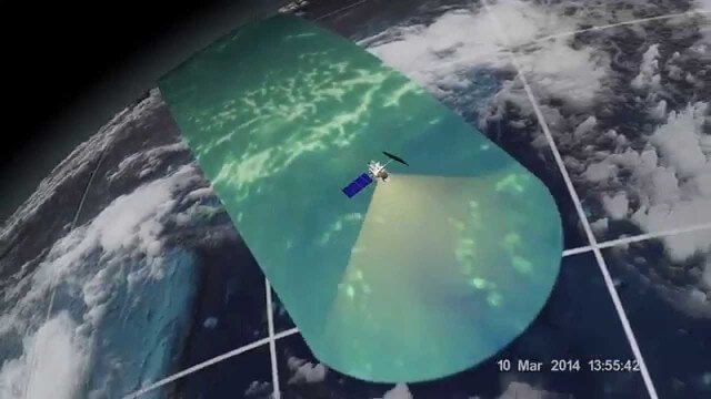
On March 10, the Core Observatory passed over an extra-tropical cyclone On March 10, the Core Observatory passed over an extra-tropical cyclone about 1055 miles (1700 kilometers) due east of Japan's Honshu Island. Satellite data shows the full range of precipitation in the storm.
Simon Kresser and Markus Mettenleiter (Z+F) Interview
0 Views0 Comments0 Likes
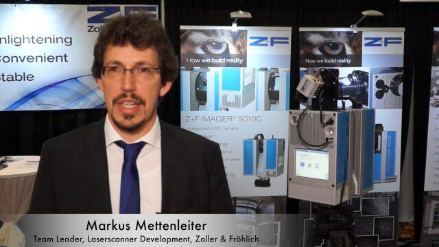
Matt Ball interviews Zoller and Fröhlich's Simon Kresser, Marketing, and Markus Mettenleiter, Team Leader, Laserscanner Development, at SPAR International in Colorado Springs, Colo. They discuss Z+F's new laserscanner features and accessories, company goals, a product tour, thermal cameras and uses, and more.

