
Tag: geospatial

Google Geospatial Technologist Talks Trends
0 Views0 Comments0 Likes
INTERGEO TV interviews Ed Parsons, geospatial technologist at Google, about his thoughts on the future of the map and related technology.

Tim Lemmon and Todd Steiner Interview (Trimble)
0 Views0 Comments0 Likes
Matt Ball interviews Trimble's Tim Lemmon, Marketing Director, Geospatial Software Solutions, and Todd Steiner, Marketing Director, Geospatial Imaging Solutions, at SPAR International in Colorado Springs, Colo. They discuss Trimble's integration between hardware and software so customers can make better business decisions, the changing role of the surveyor, and a variety of new hardware and software products.
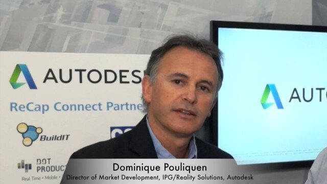
Dominique Pouliquen Interview (Autodesk)
0 Views0 Comments0 Likes
Matt Ball interviews Dominique Pouliquen, Director of Market Development, IPG/Reality Solutions, Autodesk, at SPAR International in Colorado Springs, Colo. They discuss reality computing, the scanning workflow, ReCap Connect, the new RCS format for point clouds, how plug-ins and Web APIs can help customers, and more.

Richard Humphrey Autodesk Interview (Short Version)
0 Views0 Comments0 Likes
In this condensed version, Todd Danielson interviews Richard Humphrey, senior director, Infrastructure Products, Autodesk. They discuss how technology can help "bridge the gaps" in infrastructure spending, simulation services, and large-scale modeling.

Jon Skiffington Interview (LizardTech)
0 Views0 Comments0 Likes
Todd Danielson interviews Jon Skiffington, Director, Product Management, LizardTech, at the GEOINT Symposium in Tampa, Florida. They discuss LizardTech's MrSID product and how it compresses imagery and other large datasets, GEOINT imagery users, GeoExpress and Express Server 9, and the company Web site.
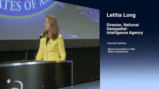
Letitia Long (Director, NGA) Keynote at 30th Space Symposium
0 Views0 Comments0 Likes
Letitia A. Long, Director of the National Geospatial-Intelligence Agency (NGA), delivered an important and powerful keynote address at the 30th Space Symposium in Colorado Springs, Colo., on May 20, 2014. Topics include the future of space programs and the space industry, their roles in intelligence, the changing nature of worldwide threats, and how space-based platforms can help predict new challenges.

OcuTech 360 Video Mapping
0 Views0 Comments0 Likes
OcuTech 360 is an inclusive provider of 360 degree visual technologies that are applied in geospatial mapping. Thanks to state of the art hardware and software, you can now digitize infrastructure and interact with data in 3D space, take 3D measurements, and annotate. For more info, please visit ocutech360.com or contact [email protected].

Mike Tully Interview (Aerial Services Inc.)
0 Views0 Comments0 Likes
Matt Ball interviews Mike Tully, President and CEO, Aerial Services Inc., at SPAR International in Colorado Springs, Colo. They discuss remote sensing and airborne LiDAR in a variety of industries, sensor diversity, streamlining data delivery, and industry disruption due to unmanned aerial systems.


