


Category: Found on the Internet

NASA NIMBUS: Recovering the Past
0 Views0 Comments0 Likes
50 years ago, NASA launched Nimbus to study Earth from space. Now, experts at the National Snow and Ice Data Center (part of CIRES), are recovering valuable data and images from old, long-lost film, and expanding their understanding of sea ice in the Arctic and Antarctic. Learn more from CIRES on the 1-year anniversary of Nimbus' first image:
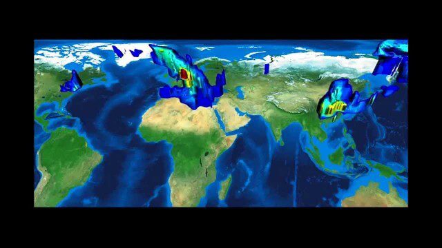
FFDAS Carbon Dioxide Emissions
0 Views0 Comments0 Likes
This video provides an overview of the Fossil Fuel Data Assimilation System (FFDAS). This system quantifies fossil fuel CO2 emissions for the whole planet at 10 km every hour for the 1997 to 2011 time period. We show both the fluxes of FFCO2 leaving the planet's surface and the realization of those fluxes in the atmosphere using an atmospheric transport simulation.

NASA Intro to LIDAR
0 Views0 Comments0 Likes
Want to know the 3D shape of terrain on another planet? Want to study the height and density of Earth's forests? An amazing tool called LIDAR can help! Learn more in this video.
Planet Earth 100 Million Years In The Future – What will happen to our world?
0 Views0 Comments0 Likes
Planet Earth 100 Million Years In The Future - What will happen to our world? This is an HD documentary from WORLD GEOGRAPHIC CHANNEL.
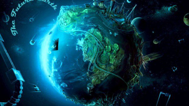
![“Future Earth” [2014 Documentary]](https://geospatialstream.com/wp-content/uploads/2014/09/future-earth-2014-documentary-640x360.jpg)
“Future Earth” [2014 Documentary]
0 Views0 Comments0 Likes
We will try to predict what will happaned in the future: Humanity is at a crossroads, Nearly half of the Amazon rainforest has been deforested, Hi-tech, intelligent buildings are revolutionizing the urban landscape, Smaller, safer, hi-tech automobiles, Major advances in air travel comfort.
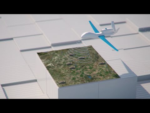
How Joint Intelligence, Surveillance and Reconnaissance Works
0 Views0 Comments0 Likes
NATO continues to develop key capabilities to protect the security and freedom of its members. Joint Intelligence, Surveillance and Reconnaissance (JISR) is one of these capabilities. It is a combination of processes, systems, and people, including air, ground, maritime, and space assets, which feed into one “fused” report.
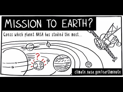
NASA’s Earth Minute: Mission to Earth?
0 Views0 Comments0 Likes
NASA doesn't just explore outer space! Since 1959, with the launch of the first weather satellite, NASA has been studying our home planet on a global scale. NASA monitors Earth's vital signs via satellites and airplanes, sends scientists to the far corners of the land and under the ocean, and develops computer models of Earth's climate processes. Why? Because Earth is the only planet that nearly eight billion people call "home sweet home."
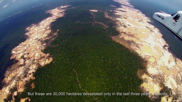
Shocking Images of Environmental Devastation in Peruvian Rainforest
0 Views0 Comments0 Likes
Güido Lombardi, a Peruvian journalist, tells in his news radio program at RPP Noticias the impressions that he got after overflying the affected areas by the illegal mining in Madre de Dios, in the Peruvian rainforest. These images where captured by the Carnegie Airborne Observatory.
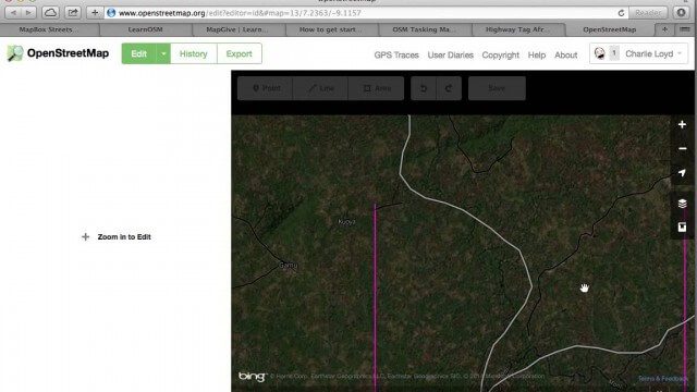
Tracing Demonstration for the Humanitarian OpenStreetMap Team (HOT)
0 Views0 Comments0 Likes
This is a simple demonstration of what it looks like to trace for the Humanitarian OpenStreetMap Team (HOT). It’s not meant as a full guide, just an example. If I’m too mumbly, please turn on the captions – the CC button below the video.
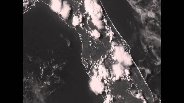
GOES-14 VIS Imagery over Florida
0 Views0 Comments0 Likes


