


Category: Found on the Internet

NASA/JAXA GMI Sensor for Precipitation Measurement
3.14K Views0 Comments0 Likes
On March 10, the Core Observatory passed over an extra-tropical cyclone On March 10, the Core Observatory passed over an extra-tropical cyclone about 1055 miles (1700 kilometers) due east of Japan's Honshu Island. Satellite data shows the full range of precipitation in the storm.

BeetleCam Project
2.08K Views0 Comments0 Likes
New video footage from BeetleCam in the Serengeti, plus announcing the new BeetleCam Hybrid!

Surveying, Mapping and GIS Expedition to British Virgin Islands
1.81K Views0 Comments0 Likes
Surveying, Mapping and GIS Expedition to British Virgin Islands
NASA | Landsat Tracks Urban Change and Flood Risk
1.77K Views0 Comments0 Likes
NASA | Landsat Tracks Urban Change and Flood Risk
International Space Station Gets a Ten-Year Extension
1.95K Views0 Comments0 Likes

Food Maps
2.92K Views0 Comments0 Likes
These food maps created by Caitlin Levin and Henry Hargreaves originally were inspired by a passion for travel. Exploring new places through the food you eat is often a portal to the cultural complexities of that place.

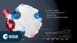
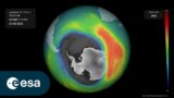
Melting Ice and Rising Seas
1.94K Views0 Comments0 Likes
As the planet warms and glaciers and polar ice caps melt, the icy world is fast disappearing, says Julian Dowdeswell from the University of Cambridge. He asks how do we deal with rising sea levels and a changing Arctic?
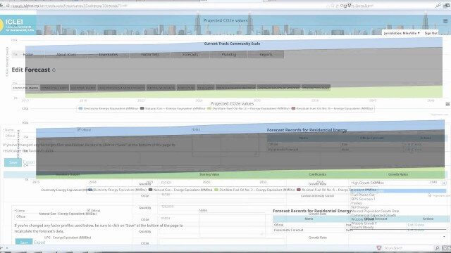
ClearPath Emissions-Management Software
2.33K Views0 Comments0 Likes
ClearPath is the next generation of ICLEI's online software suite for local governments managing energy, resources, and GHG emissions. ClearPath offers a powerful and integrated cloud-based platform that allows you to visualize your current and future emissions, and easily carry out sophisticated analysis to determine the right mix of policies to meet your emissions reduction goals.

White House Climate Data Initiative
2.15K Views0 Comments0 Likes
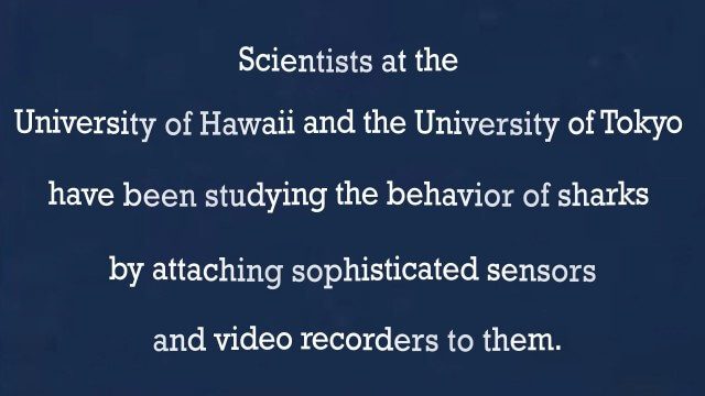
A “shark’s eye” view: Witnessing the life of a top predator
3.97K Views0 Comments0 Likes


