


Category: Found on the Internet
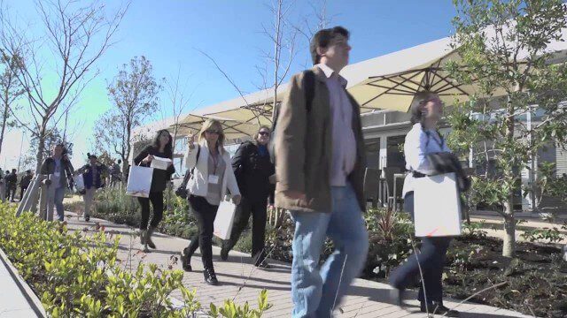
Fujisawa Sustainable Smart Town Goes Into Full-Scale Operation
3.30K Views0 Comments0 Likes
Fujisawa SST begins full-scale operation, following the completion of “Fujisawa SST SQUARE,” its core facility.
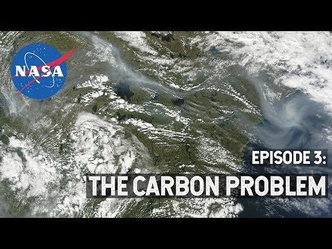
NASA Explorers S3 E3: The Carbon Problem
533 Views0 Comments0 Likes
In the Arctic, fires are a natural part of the ecosystem. But as the climate changes, fires are burning longer and hotter, releasing long-buried carbon from the soil.
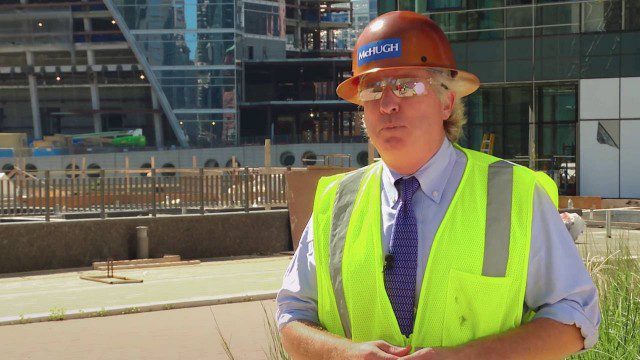
AFL-CIO Building Investment Trust Presents Wolf Point West
1.30K Views0 Comments0 Likes
The AFL-CIO Building Investment Trust (BIT), which re-invests union retirement plans and pensions in real estate projects, poured $34 million into the $160 million Wolf Point West tower that opened earlier this year. BIT produced a new video highlighting their involvement in the Hines Interests and Joseph P. Kennedy Enterprises joint venture.
Roger Tomlinson Tribute (Excerpt)
2.60K Views0 Comments0 Likes
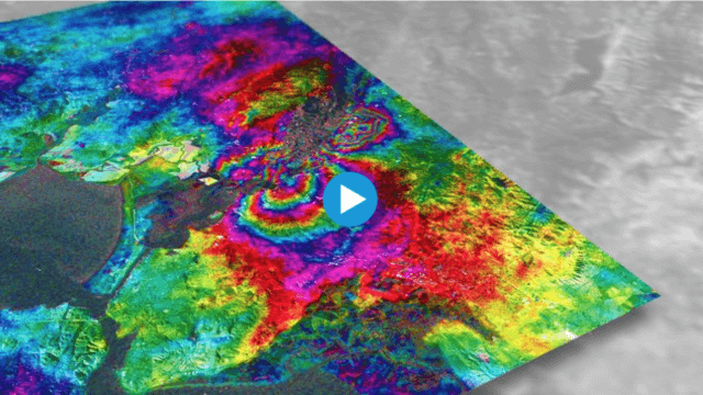
Earthquake Monitoring with Radar Satellites
2.25K Views0 Comments0 Likes
Radar satellite missions can measure millimetre-scale changes in Earth’s surface following an earthquake. On 24 August 2014, an earthquake struck California’s Napa Valley. By processing two images from the Sentinel-1A radar satellite, which were acquired on 7 August and 31 August 2014 over this wine-producing region, an 'interferogram' was generated showing ground deformation.
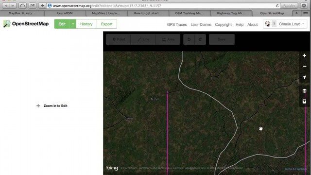
Tracing Demonstration for the Humanitarian OpenStreetMap Team (HOT)
1.53K Views0 Comments0 Likes
This is a simple demonstration of what it looks like to trace for the Humanitarian OpenStreetMap Team (HOT). It’s not meant as a full guide, just an example. If I’m too mumbly, please turn on the captions – the CC button below the video.
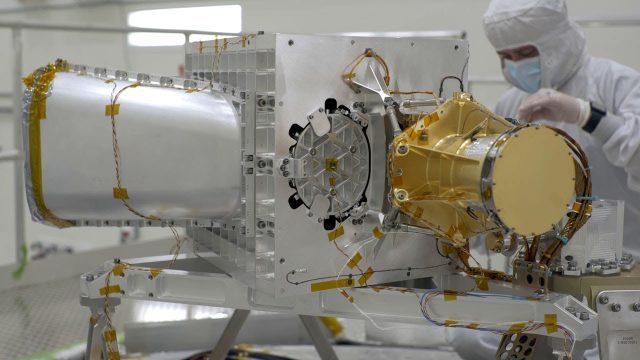
What Is NASA’s Earth Surface Mineral Dust Source Investigation (EMIT)? (Mission Overview)
10 Views0 Comments0 Likes
Soon to be operating from the International Space Station, NASA’s Earth Surface Mineral Dust Source Investigation (EMIT) mission will comprehensively measure the mineral composition of Earth’s mineral dust source reg...
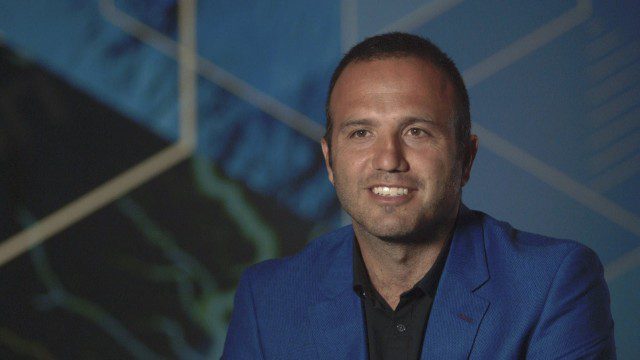
Esri Business Summit: Axel Bedikyan, Cirque du Soleil
1.36K Views0 Comments0 Likes
Cirque du Soleil turned to ArcGIS when they needed to drive business results. This vibrant company known for its high quality entertainment feels the same care and attention to detail they put into their business is mirrored in Esri’s solutions.
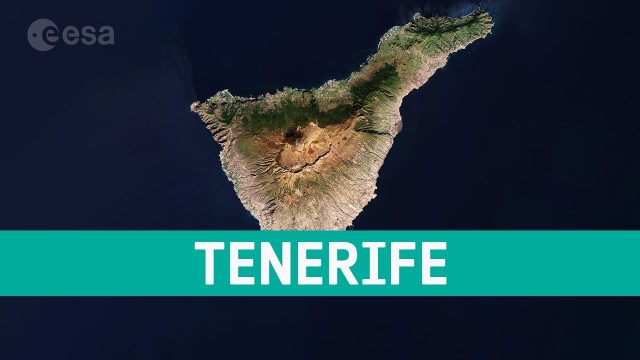
Earth from Space: Tenerife, Canary Islands, Spain
20 Views0 Comments0 Likes
This week's edition of the Earth from Space program features a Copernicus Sentinel-2 image of Tenerife, the largest of Spain’s Canary Islands.
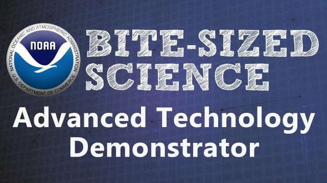
NOAA’s Advanced Technology Demonstrator
887 Views0 Comments0 Likes
The ATD is a new research radar that combines the benefits of a phased array radar with the benefits of a dual polarization technology.


