


Category: Found on the Internet
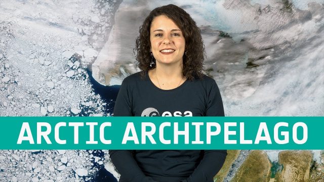
Earth from Space: Canadian Arctic Archipelago
671 Views0 Comments0 Likes
The Copernicus Sentinel-3 mission takes us over part of the Canadian Arctic Archipelago, in this week's edition of the Earth from Space program.
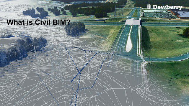
What is Civil BIM?
2.02K Views0 Comments0 Likes
Dewberry Civil Engineers Cody Pennetti and Meagan Judge, along with Senior Applications Specialist Cyndy Davenport, explain how site/civil engineers are using civil BIM to showcase complex information in a familiar way.
What Does a Warming Arctic Mean for the Future?
0 Views0 Comments0 Likes
The Arctic is experiencing disproportionately higher temperature increases compared to the rest of the planet, triggering a series of cascading effects. This rapid warming has profound implications for global climate ...
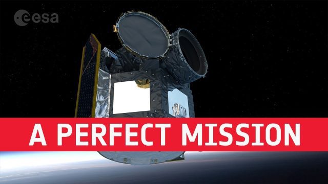
Cheops: Planning a Perfect Mission
671 Views0 Comments0 Likes
Teams of scientists and engineers are simulating the launch, early orbit phase and commissioning of the CHEOPS mission ahead of its launch period in the last quarter of 2019. The simulations are taking place at the CH...

Landsat’s View of Crops from Space, in Music
494 Views0 Comments0 Likes
In this video, you can hear Landsat's view of crops from space in the form of a song, called a data sonification.
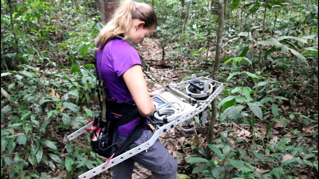
Measuring Forest Structure through a Lidar Lens
876 Views0 Comments0 Likes
Companion video of a New Phytologist paper "Seasonal and drought related changes in leaf area profiles depend on height and light environment in an Amazon forest."
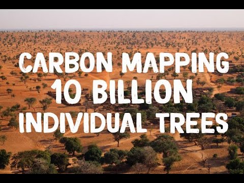
NASA Maps Carbon of 10 Billion Individual Trees
0 Views0 Comments0 Likes
Using commercial, high-resolution satellite images and artificial intelligence, a team of NASA-funded scientists mapped almost 10 billion individual trees in Africa’s drylands in order to assess the amount of carbon s...
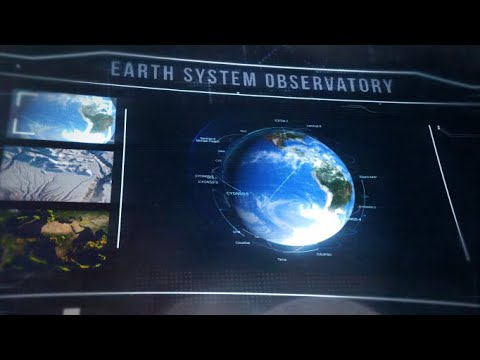
A New Era of Earth Science (NASA Trailer)
0 Views0 Comments0 Likes
For more than 50 years, NASA has been collecting and providing data about Earth’s land, water, ice and atmosphere. Now, a new era of Earth Science has begun. NASA will launch a fleet of state-of-the-art satellites for...
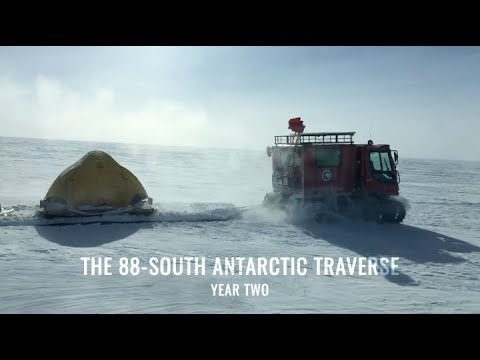
88-South Antarctic Traverse: Year Two
772 Views0 Comments0 Likes
The 470-mile expedition in one of the most barren landscapes on Earth provides the best means of assessment of the accuracy of data collected from space by the Ice Cloud and land Elevation Satellite-2 (ICESat-2).
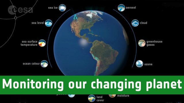
Monitoring Our Changing Planet
1.29K Views0 Comments0 Likes
Through ESA’s Climate Change Initiative, long-term datasets on key indicators of climate change are being systematically generated and preserved.


