


Category: Daily Digests

7_1 Drones Broadcast (SPOT 7, Minerals Cadastre and More)
3.43K Views0 Comments0 Likes
This GeoSpatial Stream broadcast discusses the banning of drones from U.S. National Parks; the launch of SPOT 7; a Tanzanian effort to improve its mining cadastre; the first private Russian remote-sensing satellite; industry news from IMAGINiT Technologies, GeoVille, CartoDB, Esri and Boundless; an article in Sensors & Systems; and more.
1_6 New Year Broadcast (2014 Predictions, National Map Corps, Gaofen-1 Satellite and More)
5.89K Views0 Comments0 Likes
This GeoSpatial Stream broadcast looks at predictions for 2014, the USGS National Map Corps, China's Gaofen-1 satellite, LiDAR "capturing" Billy the Elephant and more.
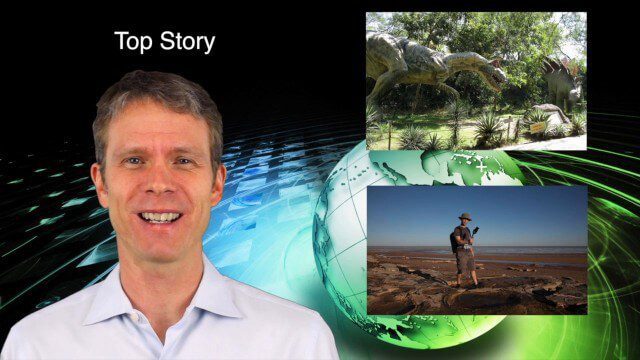
5_28 Asia-Pacific Broadcast (Dinosaurs, Chinese LiDAR and More)
3.33K Views0 Comments0 Likes
This Asia-Pacific GeoSpatial Stream broadcast discusses project in Australia to digitally document dinosaur tracks via imaging technology; the Indian Seismic and GNSS Network, which passed the "test" of the Nepal earthquake; industry news from AAM Sky Geospatial Solutions and Takor Group; an interview clip from the Riegl LiDAR 2015 User Conference in China; a preview of the HxGN Live conference in Las Vegas; and more.
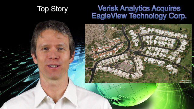
1_16 Acquisitions Broadcast (EagleView Acquired, Universe Explored, Shark Sensors and More)
2.89K Views0 Comments0 Likes
This GeoSpatial Stream broadcast examines Verisk Analytics' acquisition of EagleView Technology Corp., the size of the universe, Great White Shark sensors, contaminated water maps and more.
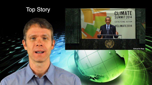
10_2 Climate Change Broadcast (UN Climate Summit, Tsunami Evacuation Maps and More)
5.06K Views0 Comments0 Likes
This GeoSpatial Stream broadcast discusses news and video from the UN Climate Summit, including President Obama announcing new geospatial tools and pledges to restore forest land; USGS developing a pedestrian tsunami-evacuation tool; industry news from exactEarth, Bentley Systems and Innovyze; a clip from the keynote address at the recent GeCo in the Rockies conference; and more.
9_10 Location Surveillance Broadcast (Phone Tracking, Global Road Map and More)
4.33K Views0 Comments0 Likes
This GeoSpatial Stream broadcast discusses location surveillance and how portals are providing cellphone locations as a paid service; the Global Road Map and its quest to limit environmental impact; Canada's investment in a global survey of surface water; NATO's Joint Intelligence, Surveillance and Reconnaissance capability; industry news from Esri, Ocean Optics and PCI Geomatics; opinions on location surveillance; and more.

3_24 Climate Change Broadcast (Forest Recovery, Drought and More)
6.41K Views0 Comments0 Likes
This GeoSpatial Stream broadcast discusses several aspects of climate change, including how forests help regulate the environment and two studies that indicate recent regrowth; a USGS-led working group on ecological drought; surprisingly high levels of a banned ozone-depleting chemical; the largest Mediterranean drought in 900 years; industry news from TerraGo, Mapillary and Esri; a NASA video of one of its forest-monitoring projects; and more.
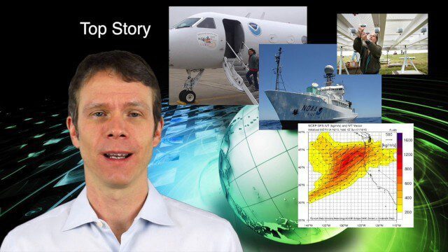
1_29 Climate Change Broadcast (CalWater 2015, USGS News and More)
4.46K Views0 Comments0 Likes
This GeoSpatial Stream broadcast discusses NOAA's CalWater 2015 project; USGS' new Groundwater Toolbox; industry news from Esri, Bentley Systems, URISA, MDA Information Systems and PCI Geomatics; a video from the 2014 Geodesign Summit; and more.

9_27 Climate Change Broadcast (Latest Data, Satellite Launches and More)
1.92K Views0 Comments0 Likes
This GeoSpatial Stream looks at the latest data on climate change from NOAA and NASA, including more record temperatures, flooding and shrinking sea ice; new satellites from Google's Terra Bella and Peru; Esri's new way of measuring oceans: the EMU; industry news from Phase One Industrial, TerraGo, Datumate and Satlab Geosolutions; a video of drone imaging for ESA's deep-space tracking system; and more.
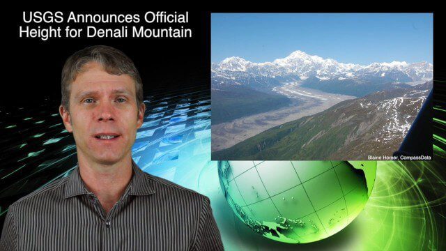
9_3 Environment Broadcast (Ocean Monitoring, Habitat Protection, Denali and More)
3.56K Views0 Comments0 Likes
This GeoSpatial Stream broadcast discusses ocean monitoring by the European Commission's NeXOS project; ocean-habitat monitoring off of Costa Rica, with the help of DigitalGlobe satellite imagery; a new official height for Denali Mountain; industry news from Trimble, Spatial Dimension, TerraGo, Esri, FlightAware and SimActive; a video from the EPA; and more.


