Category: Daily Digests
8_14 Remote-Sensing Broadcast (WorldView-3 Launch, NASA Satellites and More)
0 Views0 Comments0 Likes
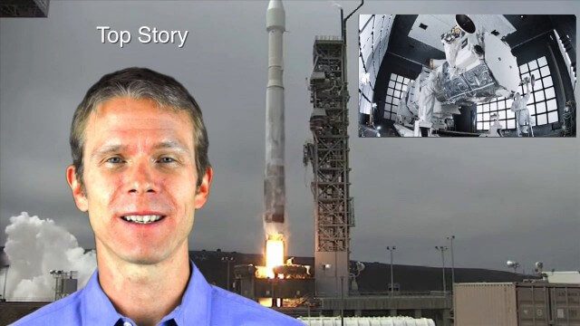
This remote-sensing themed GeoSpatial Stream broadcast discusses the launch of DigitalGlobe's WorldView-3 satellite and its implications; NASA's carbon dioxide- and weather-monitoring satellites; an award for NGA Director Letitia Long; industry news from Esri and CartoDB; the Center for Satellite-Based Crisis Information; and more.
8_21 Climate Change Broadcast (New NASA Instruments, Ice Sheets and More)
0 Views0 Comments0 Likes
This GeoSpatial Stream broadcast discusses the latest news on climate change, including new NASA monitoring instruments for the International Space Station and ESA's CryoSat mission to measure ice-sheet loss; a U.S. Army Corps of Engineers call for infrastructure improvements in the Mississippi River Watershed; Maps.com and its new Field Trip Library educational series; industry news from American Sentinel University, Nokia HERE and Apple; a LiDAR video from the National Ecological Observatory Network on monitoring trees; and more.
8_27 Asia-Pacific Broadcast (Infrastructure, Alibaba and More)
0 Views0 Comments0 Likes
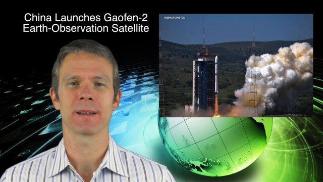
This Asia-Pacific-focused GeoSpatial Stream broadcast discusses infrastructure topics such as new financing in India, water monitoring in China, and a Chinese offer to help upgrade U.S. transportation systems; an urban-renewal project in Melbourne; China's successful launch of the Gaofen-2 Earth-observation satellite; industry news from Alibaba, Google, Maestro Wireless Solutions and CSR; drones helping China recover from an earthquake; Japanese microsatellites; and more.
9_4 Earth Imaging Broadcast (Galileo Malfunction, Drones and More)
0 Views0 Comments0 Likes
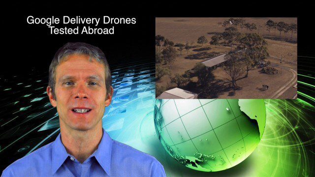
This Earth imaging GeoSpatial Stream broadcast discusses the ESA's potentially lost Galileo navigation satellites; several instances of drones (or UAVs) making news worldwide, including from Google and Amazon; industry news from DigitalGlobe, BlackBridge and MDA, SimActive, and KEYW Corp.; URISA's GIS-Pro conference in New Orleans; subscription information; and more.
9_10 Location Surveillance Broadcast (Phone Tracking, Global Road Map and More)
0 Views0 Comments0 Likes
This GeoSpatial Stream broadcast discusses location surveillance and how portals are providing cellphone locations as a paid service; the Global Road Map and its quest to limit environmental impact; Canada's investment in a global survey of surface water; NATO's Joint Intelligence, Surveillance and Reconnaissance capability; industry news from Esri, Ocean Optics and PCI Geomatics; opinions on location surveillance; and more.
9_18 Climate Change Broadcast (CO2 Mapping, Open Data and More)
0 Views0 Comments0 Likes
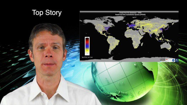
This GeoSpatial Stream broadcast discusses new research on greenhouse gas emissions worldwide; open data and sustainability innovation; a lost Russian satellite; a geospatial search engine from the U.S. Library of Congress; industry news from Cadcorp, Bentley Systems, Esri and Innovyze; opinions on the recent URISA GIS-Pro conference; and more.
9_25 Asia-Pacific Broadcast (South China Sea, Earth Observation Data and More)
0 Views0 Comments0 Likes
This Asia-Pacific-focused GeoSpatial Stream broadcast discusses ongoing land and sea disputes in the South China Sea and how mapping is playing a role; China achieving its goal of decreasing foreign-sourced Earth-observation data; a near-miss for Vietnam's first Earth-Observation satellite; industry news from Supergeo, Esri and JSC Russian Space Systems; opinions on territorial disputes; and more.
10_2 Climate Change Broadcast (UN Climate Summit, Tsunami Evacuation Maps and More)
0 Views0 Comments0 Likes
This GeoSpatial Stream broadcast discusses news and video from the UN Climate Summit, including President Obama announcing new geospatial tools and pledges to restore forest land; USGS developing a pedestrian tsunami-evacuation tool; industry news from exactEarth, Bentley Systems and Innovyze; a clip from the keynote address at the recent GeCo in the Rockies conference; and more.
10_9 Earth Imaging Broadcast (Land-Cover Change, Seafloor Maps and More)
0 Views0 Comments0 Likes
This GeoSpatial Stream broadcast discusses Earth Imaging news, including new USGS land-cover change models; new maps of the world's seafloor; NASA's Global Precipitation Measurement satellite; industry news from Rapidlasso, Sewall and Optech; an imaging drone from Intel's wearable technology contest; and more.
10_16 Asia-Pacific Broadcast (Tsunami Preparedness, NASA/India Partnerships and More)
0 Views0 Comments0 Likes
This Asia-Pacific-focused GeoSpatial Stream broadcast discusses several reports indicating that tsunami preparedness is improving in the region; a space-mission partnership between NASA and India's ISRO; the first images from China's Gaofen-2; a video from the University of South Australia's Global Sensor Network; industry news from MDA Information Systems, Esri, Xiaomi, Careland, Innovyze and Nobel Systems; and more.


