


Category: Daily Digests
12_12 Broadcast (Microsatellites, Climate Models, Dinosaurs, Odysseus and more)
0 Views0 Comments0 Likes
This episode of GeoSpatial Stream discusses SkyBox and microsatellites, climate models, dinosaur extinction, Odysseus and more.
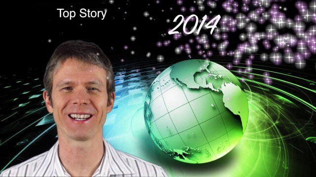
1_6 New Year Broadcast (2014 Predictions, National Map Corps, Gaofen-1 Satellite and More)
0 Views0 Comments0 Likes
This GeoSpatial Stream broadcast looks at predictions for 2014, the USGS National Map Corps, China's Gaofen-1 satellite, LiDAR "capturing" Billy the Elephant and more.
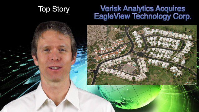
1_16 Acquisitions Broadcast (EagleView Acquired, Universe Explored, Shark Sensors and More)
0 Views0 Comments0 Likes
This GeoSpatial Stream broadcast examines Verisk Analytics' acquisition of EagleView Technology Corp., the size of the universe, Great White Shark sensors, contaminated water maps and more.
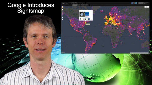
1_23 Commercial Satellite Broadcast (Google Sightsmap, Road Safety Map, Rhino Poaching and More)
0 Views0 Comments0 Likes
This GeoSpatial Stream broadcast investigates the commercial satellite imagery market; Google's Sightsmap; the WHO Road Safety map; Rhino poaching; business dealings of GRAPHISOFT, Trimble, Sputnik Enterprises; and more.
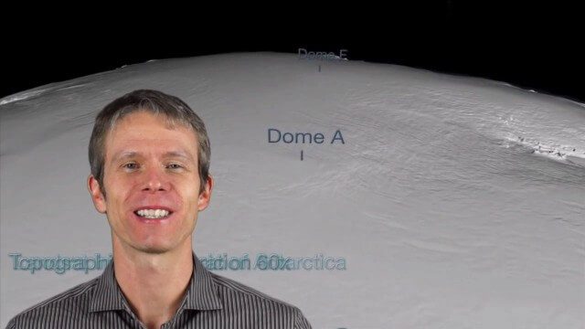
1_28 Climate Change Broadcast (Polar Vortex, China’s Pollution Plumes, Broadband Mapping and More)
0 Views0 Comments0 Likes
This GeoSpatial Stream broadcast examines the latest effects of Climate Change on the Polar Vortex; China's pollution plumes monitored from space; Kids Making Sense; broadband mapping; the latest announcements from Boundless, Cityworks, Fugro Pelagos and Blue Marble Geographics; and more.
2_18 Asia-Pacific Broadcast (China’s Ecological Infrastructure, TeLEOS-1 Satellite, Alibaba Mapping Offer and More)
0 Views0 Comments0 Likes
This Asia-Pacific-focused GeoSpatial Stream broadcast discusses Kongjian Yu's efforts in China's ecological infrastructure; the TeLEOS-1 Earth-imaging satellite; the Geological Survey of India; Alibaba's offer for AutoNavi; the "other" Great Wall of China mapping; Skybox Imaging in Australasia; and more.

3_6 ILMF Broadcast (Conference Recap, USGS News, Aerial Imagery Market and More)
0 Views0 Comments0 Likes
This GeoSpatial Stream broadcast discusses the recent International LiDAR Mapping Forum, important USGS news, the future of the aerial imagery market, a map contest, and more.
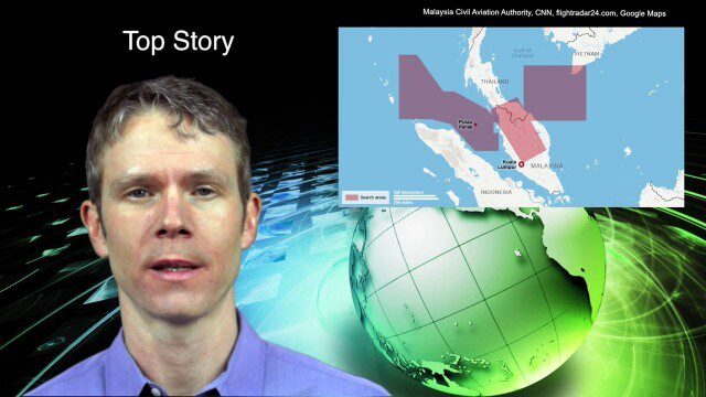
3_18 Asia-Pacific Broadcast (Malaysia Flight 370, “Smog-Busting Drones,” Shark Cameras and More)
0 Views0 Comments0 Likes
This Asia-Pacific-focused GeoSpatial Stream broadcast discusses the mysteries of Malaysia Flight 370 and geospatial technology’s role, China’s “War on Pollution” enlisting drone smog fighters, Afghanistan resource maps, a youth GIS contest, and more.

3_19 Infrastructure Broadcast (NYC Gas Explosion, Canada vs. U.S. Infrastructure and More)
0 Views0 Comments0 Likes
This infrastructure-focused GeoSpatial Stream broadcast discusses the gas-leak explosion in New York City; the state of the U.S. infrastructure; Canadian investment; announcements from the Smart Grid Innovation Hub, Bentley Systems, Esri, Oracle and Topcon Positioning Group; and more.

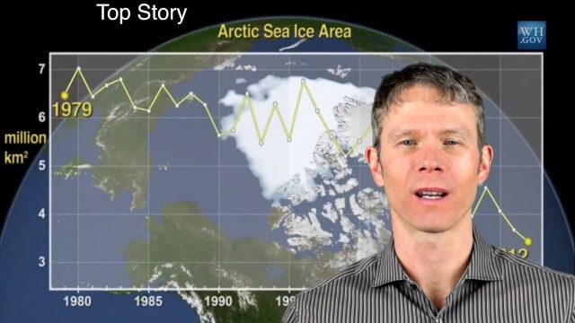
3_26 Climate Broadcast (Melting Ice, Deadly Air Pollution, Food Maps and More)
0 Views0 Comments0 Likes
This GeoSpatial Stream broadcast discusses the world's melting ice and rising seas, a WHO report stating that air pollution kills one in eight worldwide, "Cash for Clunker Maps," Food Maps, a GIS rap, and more.


