


Category: Daily Digests

10_15 Earth Imaging Broadcast (Hurricanes, Wildfire Mapping and More)
7.27K Views0 Comments0 Likes
This Earth Imaging-themed GeoSpatial Stream broadcast discusses satellite imagery used to track and understand hurricanes, including the Atlantic's Joaquin and the Pacific's triplet hurricanes of Kilo, Ignacio and Jimena; remote sensing used to map and characterize capuchin monkey habitat; a Re/Code video news story about smallsats helping with wildfires; industry news from MDA, Blue Water Satellite, NASA and Esri; clips from a V1 Media video interview of Patrick Meier, founder of the Humanitarian UAV Network; and more.
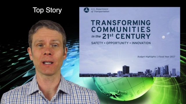
2_11 Infrastructure Broadcast (DOT Budget, Rebuilding Schools and More)
7.00K Views0 Comments0 Likes
This Infrastructure-themed GeoSpatial Stream broadcast discusses the FY2017 U.S. Department of Transportation budget; Los Angeles' new GeoHub; Miyamoto Relief engineering work at schools in Nepal; industry news from Autodesk, Abvent, TerraGo, Cadcorp and Topcon; two new infrastructure posting from V1 Media; and more.
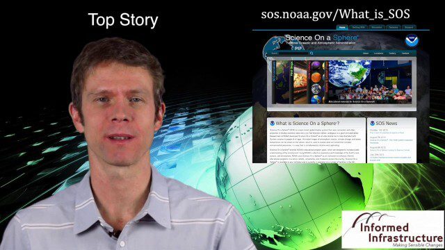
Thanksgiving Broadcast 11_25 (Science on a Sphere, JFK maps and video, nanosatellites and more)
6.91K Views0 Comments0 Likes
This Daily Digest from 11/25 covers topics such as Science on a Sphere, JFK memorial maps and video, U.S. Air Force launching 29 nanosatellites, Malaysian news and more.
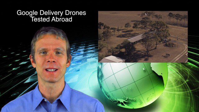
9_4 Earth Imaging Broadcast (Galileo Malfunction, Drones and More)
6.51K Views0 Comments0 Likes
This Earth imaging GeoSpatial Stream broadcast discusses the ESA's potentially lost Galileo navigation satellites; several instances of drones (or UAVs) making news worldwide, including from Google and Amazon; industry news from DigitalGlobe, BlackBridge and MDA, SimActive, and KEYW Corp.; URISA's GIS-Pro conference in New Orleans; subscription information; and more.
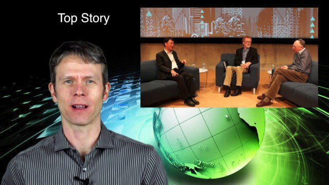
2_18 Asia-Pacific Broadcast (China’s Ecological Infrastructure, TeLEOS-1 Satellite, Alibaba Mapping Offer and More)
6.50K Views0 Comments0 Likes
This Asia-Pacific-focused GeoSpatial Stream broadcast discusses Kongjian Yu's efforts in China's ecological infrastructure; the TeLEOS-1 Earth-imaging satellite; the Geological Survey of India; Alibaba's offer for AutoNavi; the "other" Great Wall of China mapping; Skybox Imaging in Australasia; and more.

3_24 Climate Change Broadcast (Forest Recovery, Drought and More)
6.41K Views0 Comments0 Likes
This GeoSpatial Stream broadcast discusses several aspects of climate change, including how forests help regulate the environment and two studies that indicate recent regrowth; a USGS-led working group on ecological drought; surprisingly high levels of a banned ozone-depleting chemical; the largest Mediterranean drought in 900 years; industry news from TerraGo, Mapillary and Esri; a NASA video of one of its forest-monitoring projects; and more.

5_22 Remote-Sensing Broadcast (Space Symposium, WorldView-3 and More)
6.32K Views0 Comments0 Likes
This GeoSpatial Stream broadcast covers a variety of remote-sensing topics, such as the recent Space Symposium in Colorado; a preview of DigitalGlobe's WorldView-3 satellite; a special report on micro-satellites; industry news from Airbus Defence and Space, BAE Systems, Teledyne, and NASA; and more.
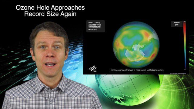
11_12 Climate Change Broadcast (Free Training, Ozone Hole and More)
6.21K Views0 Comments0 Likes
This GeoSpatial Stream broadcast discusses several issues related to climate change, including a new free course that discusses how to use Earth observation satellites to monitor climate change; the growing ozone hole over Antarctica; a study suggesting more flooding and droughts for California; industry news from TerraGo, Esri, Microsoft, Blue Marble and SimActive; video of humanitarian UAV training in Nepal; and more.
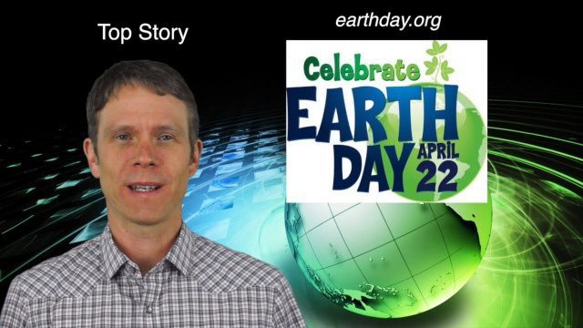
4_14 Earth Day Broadcast (Conservation, El Niño and More)
6.07K Views0 Comments0 Likes
This GeoSpatial Stream broadcast discusses the upcoming Earth Day on April 22nd and the many events that look to increase awareness of the environment and the technologies that can be used to protect it; a new mobile game called "Save the Park" that introduces children to national parks and environmental stewardship; the effect of El Niño events on marine plant life; industry news from AGI, Esri, Maptiks, East View Geospatial and PCI Geomatics; a video about the history of Earth Day and its impacts; and more.
1_6 New Year Broadcast (2014 Predictions, National Map Corps, Gaofen-1 Satellite and More)
5.89K Views0 Comments0 Likes
This GeoSpatial Stream broadcast looks at predictions for 2014, the USGS National Map Corps, China's Gaofen-1 satellite, LiDAR "capturing" Billy the Elephant and more.


