


Category: Conference Interviews
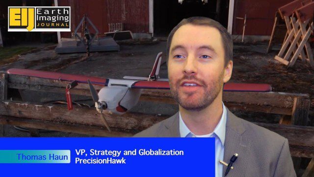
PrecisionHawk Making a Marketplace for UAS Data Management and Analysis
2.12K Views0 Comments0 Likes
The V1 Video team spoke with Thomas Haun, vice president of strategy and globalization at PrecisionHawk, at the recent Commercial UAV Expo. PrecisionHawk has developed a fixed-wing UAS as well as an online data management and analysis platform to help data collectors provide insight. We talked about the agriculture market, the flexibility of using different sensor payloads and acting on information.
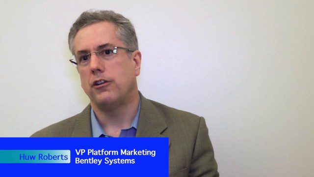
Platform Interoperability for Project Improvement
2.68K Views0 Comments0 Likes
Informed Infrastructure spoke to Huw Roberts, vice president of platform marketing at Bentley Systems, at the company’s CONNECTION Event roadshow kickoff in Philadelphia. We touched on the next era of project workflows, with greater integration across processes and analytics for better outcomes.
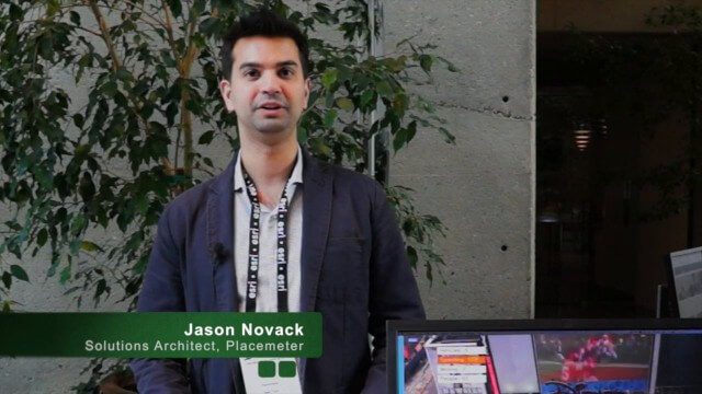
Placemeter Building Real-Time Dynamic Data Layer
3.13K Views0 Comments0 Likes
Placemeter collects and serves up-to-the-minute information such as how crowded a place is, how long the wait is, and whether it will get more or less crowded in the next hour. On behalf of V1 Media, Informed Infrastructure and GeoSpatial Stream, Todd Danielson interviewed Jason Novack, solutions architect at Placemeter, at the Geodesign Summit 2015 in Redlands, Calif.

Pioneering LiDAR Adoption in China
1.47K Views0 Comments0 Likes
Informed Infrastructure interviewed Yanjing Liu, CEO of Five Star Electronic Technology, at the RIEGL LiDAR Conference in Guangzhou, China. Liu left his academic position at Virginia Tech and companies he founded in the United States to pioneer the use of LiDAR in China. We spoke about the hard work needed to set up this capacity as well as some landmark projects, including 3-D mapping of the Great Wall.
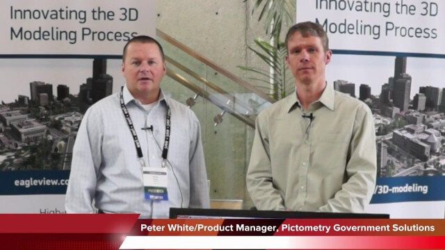
Pictometry/EagleView Interview at GeoDesign Summit
3.20K Views0 Comments0 Likes
Todd Danielson interviews Peter White, product manager and business analyst for Pictometry. They discuss how oblique imagery can help create better 3-D models as well as the future possibilities of a potential company acquisition.

Pictometry Developing 3D Models for Infrastructure Market
2.62K Views0 Comments0 Likes
The V1 Video team interviewed Jim Murray, Regional VP for Infrastructure at Pictometry (an EagleView company), at the 2015 Esri User Conference in San Diego. We spoke about the unique characteristics of high-resolution oblique imagery from Pictometry and an emerging ability to create detailed 3D models with oblique imagery data draped on buildings for a photorealistic model.

Patrick Collins Interview
3.55K Views0 Comments0 Likes
Matt Ball interviews Patrick Collins, Technical Solutions Engineer, Exelis Visual Information Solutions. They discuss the increasing size of LiDAR data and the tools to handle such volume as well as the variety of ways image data can be analyzed, including automated feature extraction.
OpenBridge Modeler Saves Time, Money throughout Lifecycle
3.87K Views0 Comments0 Likes
The V1 Video team interviewed Alexander Mabrich, Senior Engineering Consultant with Bentley Systems, at the 2016 NASCC: The Steel Conference, held April 13-15 in Orlando, Fla. He discusses the gap between concept and design in bridge construction, Bentley's OpenBridge Modeler product and how it can help throughout the process, and how a model can continue to be used after construction in maintenance and rehabilitation.
NPMap Pioneers Open and Flexible Platform
3.09K Views0 Comments0 Likes
The V1 Video team interviewed Nate Irwin, head of the NPMap team for the National Park Service, at the USFWS/USNPS Geospatial Training Workshop. NPMap is an innovative online mapping platform that helps park visitors navigate the details of national parks as well as providing a platform for parks to customize and share maps for park management.
Noel Cressie Talks Spatial Statistics at the Geodesign Summit
9.74K Views0 Comments0 Likes
Noel Cressie is a Distinguished Professor, National Institute for Applied Statistics Research Australia (NIASRA), University of Wollongong, Australia. He delivered the keynote speech at the Geodesign Summit 2015 in Redlands, Calif., discussing spatial statistics and their role in modern analysis and design. On behalf of V1 Media, Informed Infrastructure and GeoSpatial Stream, Todd Danielson interviewed Cressie at the Summit.


