


Category: Conference Interviews
Decision Advantage through Data Analysis
0 Views0 Comments0 Likes
The V1 Video team interviewed Hugh McFadden, manager of Emerging Intelligence Programs, and Stephen Ryan, senior mission engineer with the Intelligence, Surveillance and Reconnaissance Division, both at Northrop Grumman, at the GEOINT Symposium in Washington, D.C. The pair work closely together on solutions to enhance intelligence gathering focused on threats. We discussed automation vs. human cognitive reasoning as well as conditioning sensor information—exploiting and integrating their inputs.
Analytics, Ease of Use and Accessibility at Esri
0 Views0 Comments0 Likes
The V1 Video team interviewed Brian Lehman, director of Defense Business Development at Esri, at the GEOINT Symposium in Washington, D.C. We spoke about task-driven workflows that streamline multi-step processes, incorporating automation to ease the tedious nature of some lengthy geospatial processing and analysis functions. The company has developed a number of analytic tools that also ease integration, harnessing the power of geography to integrate intelligence data.
Data Leading a Geospatial Revolution
0 Views0 Comments0 Likes
The V1 Video team interviewed Scott Jachimski, director of Data Science at Booz Allen Hamilton, at the GEOINT Symposium in Washington, D.C. We spoke about data science and the need to improve our ability to leverage the mass amounts of data that we’re collecting. Booz Allen Hamilton is leveraging analytical workflows and bringing disparate data together in a “data lake” approach that brings them out of silos to allow the data to help tell you what to do.
Fusing Data through Automation to Provide Insight
0 Views0 Comments0 Likes
The V1 Video team interviewed Keith Johnson, technical director for Analysis & Mission Solutions at Lockheed Martin, at the GEOINT Symposium in Washington, D.C. We spoke about making sense of imagery; wide-area full-motion video; and textual, social, civil, signals and cyber inputs for decision makers. Lockheed Martin is focused on automation to deliver the right type of data to the analyst as well as providing next-generation sensors with on-board processing that complement other expanding sensors.

RIEGL Creating 3D Data for Improved Disaster Response
0 Views0 Comments0 Likes
The V1 Video team interviewed James Van Rens, CEO of RIEGL USA, at the 2015 Esri User Conference in San Diego. We spoke at the 3D Mapping Forum, focusing on the need to map the shoreline for improved disaster response. The company also showcased its new RiCOPTER mapping drone.
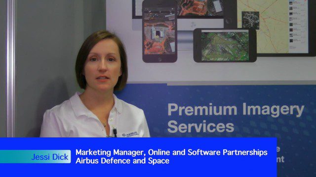
Airbus Defense and Space Dealing with Big Data Management and Delivery Issues
0 Views0 Comments0 Likes
The V1 Video team interviewed Jessi Dick, Senior Marketing Manager of Online and Software Partnerships at Airbus Defence and Space, at the 2015 Esri User Conference in San Diego. We spoke about the growing volumes of data and the company’s tools managing data via portals, systems, streaming services and custom solutions.

Pictometry Developing 3D Models for Infrastructure Market
0 Views0 Comments0 Likes
The V1 Video team interviewed Jim Murray, Regional VP for Infrastructure at Pictometry (an EagleView company), at the 2015 Esri User Conference in San Diego. We spoke about the unique characteristics of high-resolution oblique imagery from Pictometry and an emerging ability to create detailed 3D models with oblique imagery data draped on buildings for a photorealistic model.

LizardTech Combining LiDAR Point Cloud and Image Compression
0 Views0 Comments0 Likes
The V1 Video team interviewed Jeff Young, Manager of Regional and International Sales for LizardTech, at the 2015 Esri User Conference in San Diego. The company launched the 9.5 release of its GeoExpress software, which combines image and LiDAR compression technology. The latest tools add automation for color balancing and indexing images.

Creating 3D Models from Drone Imagery
0 Views0 Comments0 Likes
The V1 Video team interviewed Antoine Martin, Business Manager of Pix4D’s operations in the United States, at the 2015 Esri User Conference in San Diego. We spoke about the growing interest in creating useful data from drone platforms as well as the many use cases for Pix4Dmapper software for automated image processing. The company has focused on the simplification of photogrammetric science to enable users to create accurate maps and 3D models from this imagery.
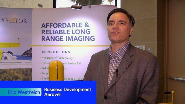
Hybrid VTOL Drone Eases Takeoff and Landing
0 Views0 Comments0 Likes
The V1 Video team interviewed Eric Westreich, who works on Business Development at Aerovel, at the 2015 Esri User Conference in San Diego. We spoke about the unique Aerovel Flexrotor hybrid-electric vertical takeoff and landing (VTOL) craft that can take off and land vertically, rotating its flight to cover more ground and takeoff from a moving platform. The Aerovel Flexrotor comes from a marine legacy, where runways aren’t possible other than on an aircraft carrier.


