Category: Conference Interviews
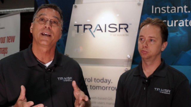
Traisr Makes Asset Management Simple, Safe and Secure
0 Views0 Comments0 Likes
Todd Danielson interviews John DePalma, Principal, and Brian Berdel, Chief Information Officer, McMahon Associates Inc., at the 2014 Esri User Conference in San Diego. They discuss the company's new product, Traisr, which integrates with multiple platforms to monitor fixed and mobile assets as well as deliver consumer Web portals.
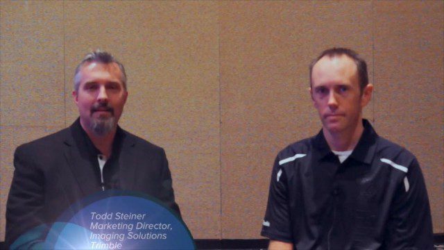
Trimble Dimensions Interview: Todd Steiner and Tim Lemmon
0 Views0 Comments0 Likes
At Trimble Dimensions 2014 in Las Vegas, V1 Media's Todd Danielson interviews Trimble's Todd Steiner, Marketing Director for Imaging Solutions, and Tim Lemmon, Office Software Director for Geospatial. They discuss Trimble's core history of surveying and GPS products; new visualization and imaging tools; software geared toward a variety of geospatial vertical markets; the evolving role of the surveyor; and more.
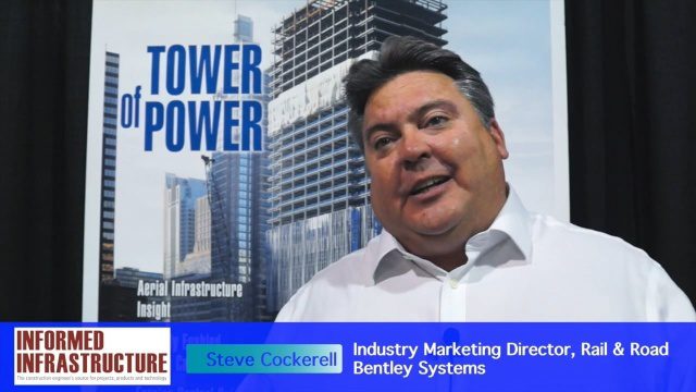
Bentley Systems’ Impact on Road and Rail Industries
0 Views0 Comments0 Likes
The V1 Video team interviewed Steve Cockerell, Industry Marketing Director of Rail & Road for Bentley Systems, at the 2016 SPAR 3D Expo and Conference, held April 11-14 in The Woodlands, Texas. He discusses the company's ContextCapture, LumenRT and ConceptStatin products as well as the high-profile Crossrail project and how it has changed the company's products and practices.
Gabe Svobodny Discusses Natural Resource Management at Esri UC
0 Views0 Comments0 Likes
Todd Danielson, editorial director of Informed Infrastructure and V1 Media, interviewed Gabe Svobodny, Division of Forestry, Fire and State Lands, Utah Department of Natural Resources, at the 2023 Esri User Co...
The Unveiling of ArcGIS Earth
0 Views0 Comments0 Likes
The V1 Video team interviewed Chris Andrews, product manager for 3D at Esri, at the GEOINT Symposium in Washington, D.C. We spoke about the new ArcGIS Earth immersive global viewer as well as how 3D is being delivered across Esri’s product line. We spoke about the distinction between desktop and apps, and how an incredible wave of 3D data capture will extend the value of visualization.
What Is the Geodesign Summit?
0 Views6 Comments0 Likes
Esri's annual Geodesign Summit has been a key element in moving the geodesign movement forward. This video from GeoSpatial Stream summarizes some of the important geodesign concepts as well as how Esri's conference informs and motivates those interested in designing a better and smarter built environment.
Mike Tully Interview (Aerial Services Inc.)
0 Views0 Comments0 Likes
Matt Ball interviews Mike Tully, President and CEO, Aerial Services Inc., at SPAR International in Colorado Springs, Colo. They discuss remote sensing and airborne LiDAR in a variety of industries, sensor diversity, streamlining data delivery, and industry disruption due to unmanned aerial systems.
Promoting the Value of 3-D Data for the Nation
0 Views0 Comments0 Likes
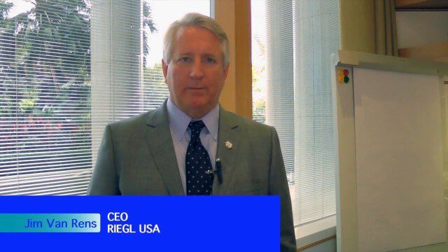
Informed Infrastructure spoke with Jim Van Rens, CEO of RIEGL USA, at the company’s user conference in Hong Kong. Jim is actively involved in helping promote the U.S. Geological Survey’s 3D Elevation Program (3DEP) that aims to map the country in high-resolution 3-D using LiDAR and aligned technologies.


