Browse Archives
A New Era of Earth Science (NASA Trailer)
0 Views0 Comments0 Likes
For more than 50 years, NASA has been collecting and providing data about Earth’s land, water, ice and atmosphere. Now, a new era of Earth Science has begun. NASA will launch a fleet of state-of-the-art satellites for...
Earth’s Iconic Waves, Observed by Landsat
0 Views0 Comments0 Likes
The broad perspective from satellites shows the landscapes and seascapes surrounding some of the world's tallest, longest, fastest, and heaviest waves.
Listening to the Amazon: Tracking Deforestation Through Sound
0 Views0 Comments0 Likes
From space, parts of the Amazon rainforest that have previously been logged or burned may look lush and green, like a place buzzing with activity and full of sounds. But inside the rainforest, the animal life may tell...
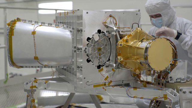
EMIT (Earth Surface Mineral Dust Source Investigation) Gets Installed on International Space Station
0 Views0 Comments0 Likes
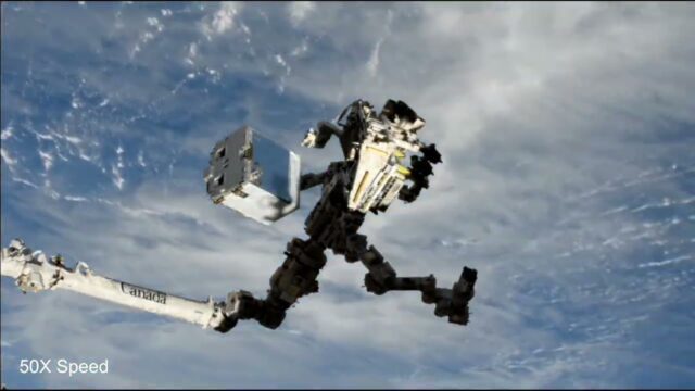
This time-lapse video shows the Candarm2 robotic arm of the International Space Station maneuvering NASA’s EMIT mission onto the exterior of the station. Extraction from the SpaceX Dragon spacecraft began around 5:15 ...
NASA Tracks COVID-19’s Atmospheric Fingerprint
0 Views0 Comments0 Likes
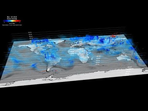
The COVID-19-related lockdowns granted scientists an unexpected and detailed glimpse as to how human activities impact atmospheric composition. Two recent studies, one focusing on nitrogen oxide and the other examinin...
Earth from Space: Glacier Bay, Alaska
0 Views0 Comments0 Likes
In this week's edition of the Earth from Space program, we explore part of the Glacier Bay National Park and Preserve, Alaska, with Copernicus Sentinel-2.
Gulf of Maine’s Phytoplankton Productivity Down 65%
0 Views0 Comments0 Likes
The Gulf of Maine is growing increasingly warm and salty, due to ocean currents pushing warm water into the gulf from the Northwest Atlantic, according to a new NASA-funded study. These temperature and salinity c...
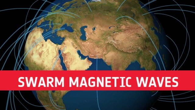
Swarm Reveals Magnetic Waves Across Earth’s Outer Core
0 Views0 Comments0 Likes
Using information from ESA’s Swarm satellite mission, scientists have discovered a completely new type of magnetic wave that sweeps across the outermost part of Earth’s outer core every seven years. This fascinating ...
What Is NASA’s Earth Surface Mineral Dust Source Investigation (EMIT)? (Mission Overview)
0 Views0 Comments0 Likes
Soon to be operating from the International Space Station, NASA’s Earth Surface Mineral Dust Source Investigation (EMIT) mission will comprehensively measure the mineral composition of Earth’s mineral dust source reg...
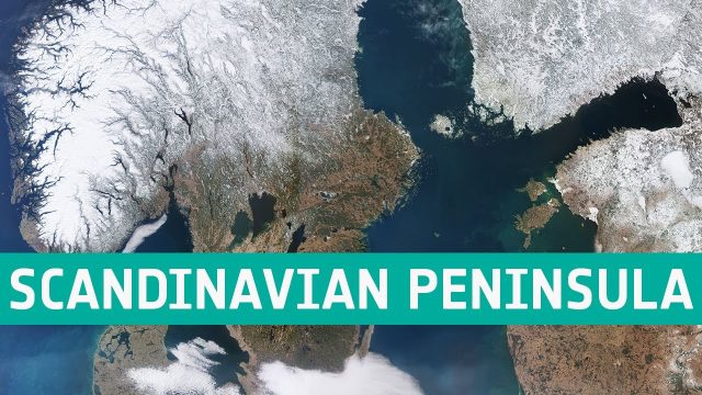
Earth from Space: Scandinavian Peninsula
0 Views0 Comments0 Likes
This week's edition of the Earth from Space program features an impressive shot of the almost cloud-free Scandinavian Peninsula captured by the Copernicus Sentinel-3 mission.

