
Browse Archives

Why Attend Bentley Systems YII 2016
3.72K Views0 Comments0 Likes
This video from Bentley Systems shows highlights of the 2015 event and what attendees can expect if they convene in London in 2016.
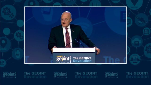
GEOINT Keynote: James R. Clapper, Director of National Intelligence
3.72K Views0 Comments0 Likes
The U.S. Geospatial Intelligence Foundation (USGIF) recorded the keynote speech of James Clapper, director of National Intelligence, at the 2016 GEOINT Symposium on May 16, 2016, in Orlando, Fla.
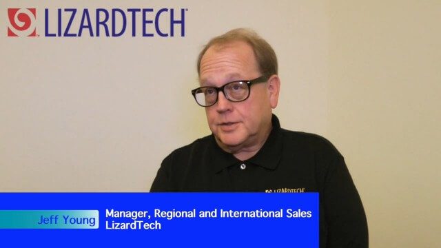
LizardTech Combining LiDAR Point Cloud and Image Compression
3.70K Views0 Comments0 Likes
The V1 Video team interviewed Jeff Young, Manager of Regional and International Sales for LizardTech, at the 2015 Esri User Conference in San Diego. The company launched the 9.5 release of its GeoExpress software, which combines image and LiDAR compression technology. The latest tools add automation for color balancing and indexing images.
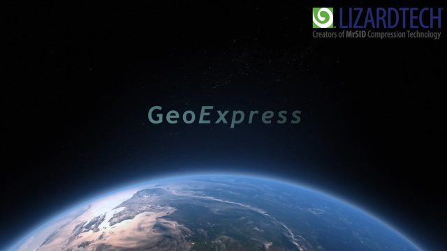
How to Save Time and Money When Processing Geospatial Imagery
3.70K Views0 Comments0 Likes
Are you overwhelmed by GIS data, and wish you had more time and processing power? Then check out this video from LizardTech that shows the benefits of GeoExpress, which helps geospatial professionals save time and money by compressing and manipulating satellite and aerial imagery.

Geodesign Summit 2015: Speaker Highlights
3.69K Views0 Comments0 Likes
The Geodesign Summit 2015 featured a variety of speakers and topics focused on designing a better and smarter built environment. This video produced by GeoSpatial Stream highlights some of the best, funniest and most thought-provoking moments.
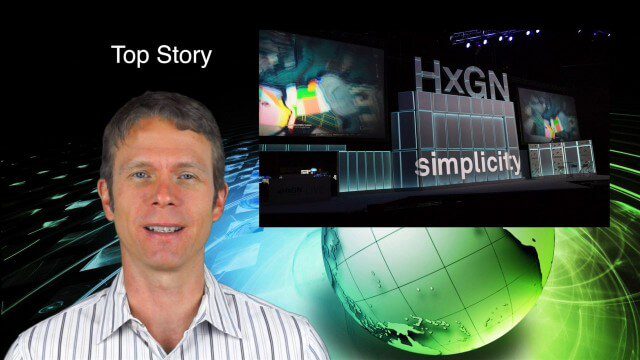
6_12 HxGN LIVE Broadcast (Conference Recap, NASA News and More)
3.66K Views0 Comments0 Likes
This GeoSpatial Stream broadcast includes a recap of the recent HxGN LIVE conference in Las Vegas, and discusses NASA's upcoming carbon dioxide satellite; a deadly and massive Colorado mudslide; industry news from Skybox Imaging and Google, Sokkia, and Esri; Google's Tango Project; and more.
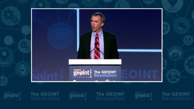
GEOINT Keynote: Marcel Lettre, Under Secretary of Defense for Intelligence
3.66K Views0 Comments0 Likes
The U.S. Geospatial Intelligence Foundation (USGIF) recorded the keynote speech of Marcel Lettre, Under Secretary of Defense for Intelligence, at the 2016 GEOINT Symposium on May 16, 2016, in Orlando, Fla.

OcuTech 360 Video Mapping
3.65K Views0 Comments0 Likes
OcuTech 360 is an inclusive provider of 360 degree visual technologies that are applied in geospatial mapping. Thanks to state of the art hardware and software, you can now digitize infrastructure and interact with data in 3D space, take 3D measurements, and annotate. For more info, please visit ocutech360.com or contact [email protected].

Exelis Discusses Climate Instrument Specialization and Demand
3.65K Views0 Comments0 Likes
Matt Ball spoke with Eric Webster, VP and Director, Environmental Intelligence, Geospatial Systems, Exelis, at the recent International Space Symposium. The conversation covered some recent sensor contract wins with NASA and JAXA as well as discussion about the evolution of sensors from hardware- to software-based, affording much greater on-orbit flexibility.

7_23 Infrastructure Broadcast (AEC Market Reports, Smart Cities and More)
3.64K Views0 Comments0 Likes
This Infrastructure-themed GeoSpatial Stream broadcast discusses an optimistic AEC market report; a $16 billion commitment from the state of Washington for transportation improvements; a new LADOT public Web map for smart communities; laser scanning in Mexico; industry news from SmarterBetterCities, Topcon Positioning Group and PaveXpress; thoughts on seeing Informed Infrastructure in action in Chicago; and more.


