
Browse Archives

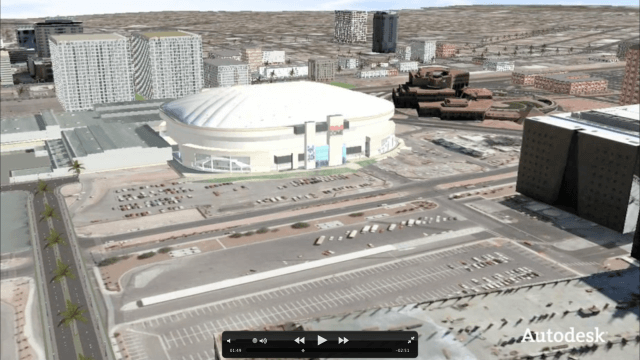
Conference Recap from Las Vegas (Autodesk University, Breaking News, Quadrocopters and other Innovations)
3.92K Views0 Comments0 Likes
This video was recorded in Las Vegas during the Autodesk University 2013 Conference. Topics include an extensive recap of conference events, keynotes, themes and news; the latest innovations such as quadrocopters and contour crafting; and more.
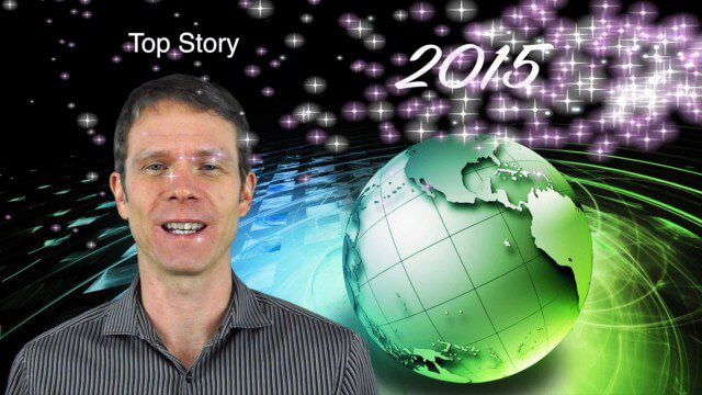
1_8 New Year Broadcast (10 Predictions for 2015, AirAsia Flight and More)
3.91K Views0 Comments0 Likes
This GeoSpatial Stream broadcast looks back at 2014 and ahead to 2015, including the Top Ten Predictions for 2015; the tragic Indonesia AirAsia Flight 8501; industry news from Cadcorp, the Space Foundation and Elsevier; a roundup of important milestones from 2014; and more.
Autodesk VTN Consulting
3.91K Views0 Comments0 Likes
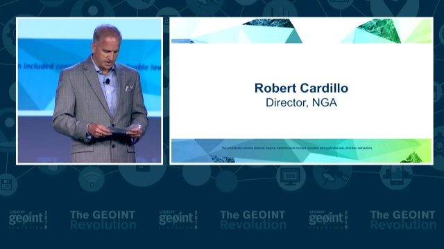
GEOINT Keynote: Robert Cardillo, Director, NGA
3.90K Views0 Comments0 Likes
The U.S. Geospatial Intelligence Foundation (USGIF) recorded the keynote speech of Robert Cardillo, Director of the National Geospatial-Intelligence Agency (NGA), at the 2016 GEOINT Symposium on May 16, 2016, in Orlando, Fla.
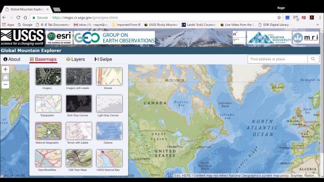
Global Mountain Explorer Video Tutorial
3.89K Views0 Comments0 Likes
This video contains a narrated introduction to the Global Mountain Explorer (GME), a web-based tool for visualizing and exploring three well known global mountain data layers.
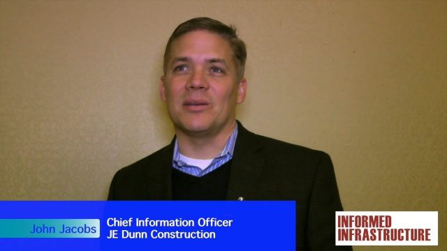
JE Dunn Construction Puts a Lens on Estimating
3.88K Views0 Comments0 Likes
The V1 Video team was at Autodesk University 2015 in Las Vegas and interviewed John Jacobs, Chief Information Officer, JE Dunn Construction. He discussed the company's "ground breaking" Lens software for project cost estimating, the company's partnership with Autodesk and its Large-Model Viewing, and the benefits of model-based estimating.
2_12 Maps and Drones Broadcast (Google Maps, Drones for Good and More)
3.88K Views0 Comments0 Likes
This GeoSpatial Stream broadcast discusses the 10-year anniversary of Google Maps; the Drones for Good contest and drone privacy issues; industry news from Esri, Cadcorp and LizardTech; an unintentionally funny video from Ordnance Survey in 1965; and more.
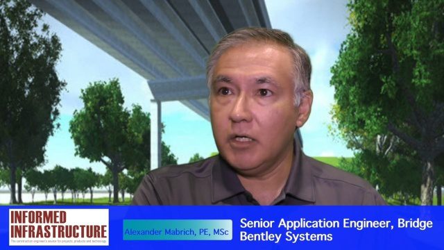
OpenBridge Modeler Saves Time, Money throughout Lifecycle
3.87K Views0 Comments0 Likes
The V1 Video team interviewed Alexander Mabrich, Senior Engineering Consultant with Bentley Systems, at the 2016 NASCC: The Steel Conference, held April 13-15 in Orlando, Fla. He discusses the gap between concept and design in bridge construction, Bentley's OpenBridge Modeler product and how it can help throughout the process, and how a model can continue to be used after construction in maintenance and rehabilitation.

3_31 Remote-Sensing Broadcast (Melting Ice, Deadly Air Pollution, Food Maps and More)
3.87K Views0 Comments0 Likes
This GeoSpatial Stream broadcast discusses the devastating flooding throughout Europe and how satellites are helping; the 2015 NOAA satellite budget; a new NASA imager for global precipitation; commercial remote-sensing distributors; Airbus Defense and Space and its involvement with Sentinel-5; satellites observing the formation of black holes; and more.

6_2 GPS Broadcast (Topo Maps, Napoleon, HxGN LIVE, More)
3.86K Views0 Comments0 Likes
This GeoSpatial Stream broadcast includes a tribute to the "founder of GPS," Roger Easton, and discusses new USGS Topo maps; cloud computing frameworks; a book featuring the famous Minard Map of Napoleon's Russian Campaign of 1812; BlackBridge financing; World Cup Stadium images from Airbus; and an upcoming trip to HxGN LIVE in Las Vegas, Nevada.


