
Tag: video

Google Geospatial Technologist Talks Trends
1.53K Views0 Comments0 Likes
INTERGEO TV interviews Ed Parsons, geospatial technologist at Google, about his thoughts on the future of the map and related technology.
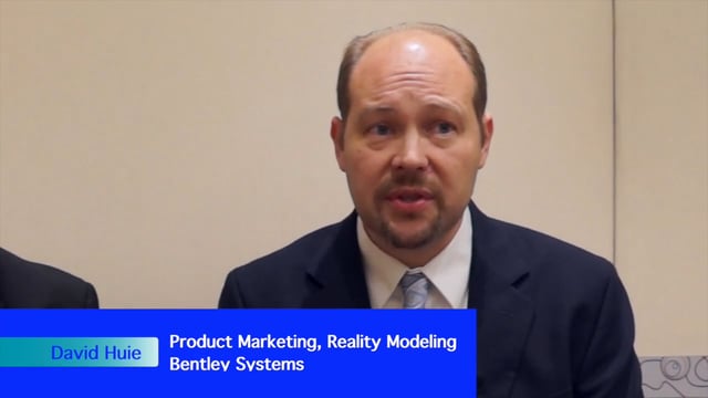
David Huie and David Burdick: Reality Capture and Modeling, LumenRT, and Visualization for Communication
3.95K Views0 Comments0 Likes
Informed Infrastructure interviewed Bentley Systems' David Huie, Product Marketing, Reality Modeling, and David Burdick, Market Development, Visualization, at the Year In Infrastructure Event held Nov. 1-3, 2017, at the Hilton London Metropole. They take turns discussing Bentley's latest advances in reality capture and modeling, including its LumenRT product, as well as how to best use visualization for communication with the expanding amount of "non-technical" stakeholders.

Aurora from Above
2.01K Views0 Comments0 Likes
This video of the aurora borealis was captured by the Fast Auroral Imager, which is part of the e-POP instrument package carried on Canada’s Cassiope satellite.

NASA Tech’s Supporting Role at the Oscars
1.08K Views0 Comments0 Likes
It's all about the gold. NASA uses gold on satellites and telescopes to see in infrared and block heat absorption. We needed a coating that was ulta-reflective and super durable—and thanks to a family-owned business i...

Elkhorn Slough Reserve Estuary Explorers
4.61K Views0 Comments0 Likes
Estuary Explorers allows a group of local students to visit the Elkhorn Slough Reserve once a week for four years. It is through this deep experience that new stewards of the Reserve emerge and grow.
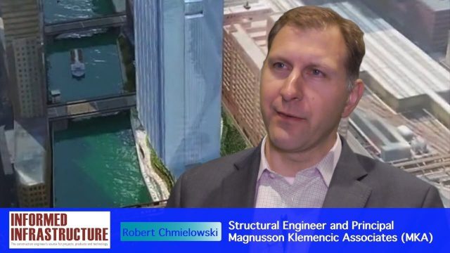
Structural Engineering of Chicago’s 150 N. Riverside Building
3.28K Views0 Comments0 Likes
The V1 Video team interviewed Robert Chmielowski, Structural Engineer and Principal at Magnusson Klemencic Associates (MKA), at the 2016 NASCC: The Steel Conference, held April 13-15 in Orlando, Fla. He discusses the complexities of the unique building being developed at 150 N. Riverside along the Chicago River, which include the site's strong and narrow core, the steel used to make it possible, and the software used to design and analyze the building.

Ultra High Definition (4K) View of Planet Earth
5.47K Views0 Comments0 Likes
NASA monitors Earth's vital signs from land, air and space with a fleet of satellites and ambitious airborne and ground-based observation campaigns.
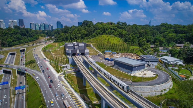
Is Asia Now the Center of Gravity for Infrastructure?
2.64K Views0 Comments0 Likes
Several members of the Bentley Systems team at the 2017 Year In Infrastructure event held Oct. 10-12, 2017, in Singapore, discuss whether Asia now is the center of gravity for infrastructure.
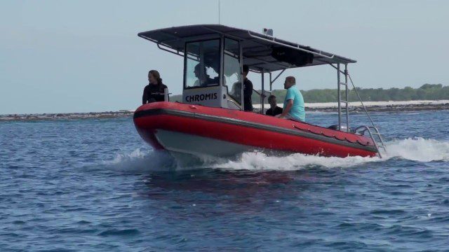
CORAL Probes Great Barrier Reef
1.58K Views0 Comments0 Likes
The three-year COral Reef Airborne Laboratory (CORAL) mission will survey a portion of the world's coral reefs to assess the condition of these threatened ecosystems and understand their relation to the environment, including physical, chemical and human factors.
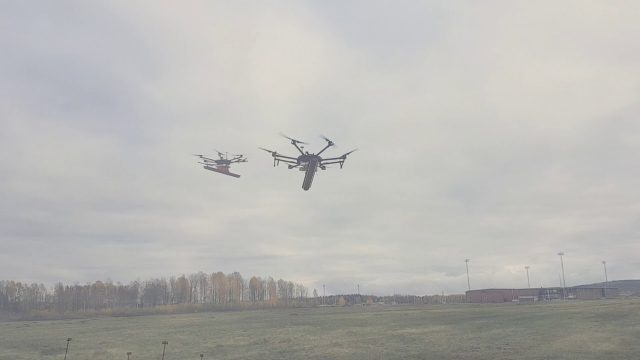
Drone With Ground Penetrating Radar (GPR)
8.11K Views0 Comments0 Likes
SPH Engineering and Radarteam Sweden AB completed combined tests of a drone equipped with ground-penetrating radar (GPR).


