
Tag: satellites
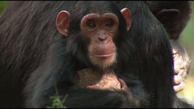
NASA Partners with Jane Goodall Institute to Protect Chimpanzees
0 Views0 Comments0 Likes
Data from Landsat satellites, a joint mission of NASA and the U.S. Geological Survey, have been critical to helping the Jane Goodall Institute in their work to protect chimpanzees and their habitat. In this video, Goodall and JGI scientist Lilian Pintea discuss the transformational role of seeing changing habitats from above.

NASA Earth Observatory Goes to the Beach
0 Views0 Comments0 Likes
This video from NASA Earth Observatory shows the satellite and space-station view of various shorelines across the United States.
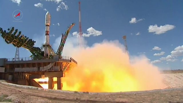
Soyuz Rocket Deploys 73 Satellites
0 Views0 Comments0 Likes
On July 14, 2017, a Russian Soyuz booster lifted off from Kazakhstan on a complex mission to deploy 73 satellites into three different orbits, including a Russian spacecraft to locate forest fires, 48 CubeSats for Planet’s global Earth observation fleet, and eight nanosatellites for Spire Global’s commercial weather network.

Hello, Darmstadt?
0 Views0 Comments0 Likes
The European Space Operations Centre, ESOC, in Darmstadt, Germany, has served as Europe’s gateway to space for half a century. In 2017, the centre is celebrating its 50th anniversary, highlighting a rich history of achievement in space.
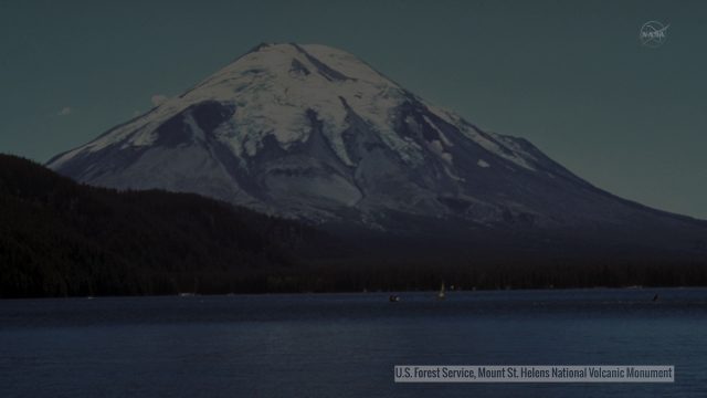
Landsat Tracks Mount St. Helens Recovery
0 Views0 Comments0 Likes
By observing different wavelengths of light reflected off the surface, Landsat data can identify different types of land cover.

Exelis Discusses Climate Instrument Specialization and Demand
0 Views0 Comments0 Likes
Matt Ball spoke with Eric Webster, VP and Director, Environmental Intelligence, Geospatial Systems, Exelis, at the recent International Space Symposium. The conversation covered some recent sensor contract wins with NASA and JAXA as well as discussion about the evolution of sensors from hardware- to software-based, affording much greater on-orbit flexibility.
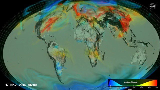
Following Carbon Dioxide Through the Atmosphere
0 Views0 Comments0 Likes
Using observations from NASA's Orbiting Carbon Observatory (OCO-2) satellite, scientists developed a model of the behavior of carbon in the atmosphere.

TOPEX/JASON Sees 22-Year Sea Level Rise
0 Views0 Comments0 Likes
This visualization shows total sea level change between 1992 and 2014, based on data collected from the TOPEX/Poseidon, Jason-1, and Jason-2 satellites. Blue regions are where sea level has gone down, and orange/red regions are where sea level has gone up. Since 1992, seas around the world have risen an average of nearly 3 inches. The color range for this visualization is -7 cm to +7 cm (-2.76 inches to +2.76 inches), though measured data extends above and below 7cm(2.76 inches). This particular range was chosen to highlight variations in sea level change. Download the visualization: http://svs.gsfc.nasa.gov/cgi-bin/deta....
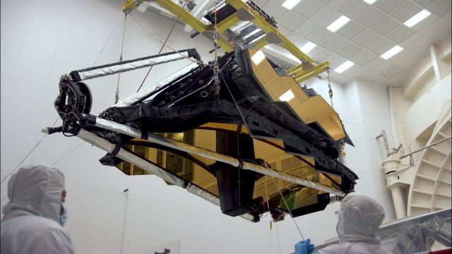
NASA’s James Webb Space Telescope Arrives
0 Views0 Comments0 Likes
The optical telescope and integrated science instrument module (OTIS) of NASA's James Webb Space Telescope arrived at Northrop Grumman Aerospace Systems in Redondo Beach, California, on Friday, Feb. 2.

2_25 Earth Imaging Broadcast (Sentinel Launch, Smallsats and More)
0 Views0 Comments0 Likes
This Earth Imaging-themed GeoSpatial Stream broadcast discusses the recently launched Sentinel-3A Earth-monitoring satellite; a smallsat/cubesat video created by the European Space Agency; NASA UAS/drone news; industry news from Esri, SimActive, Teledyne Optech and Riegl; a funny mapping video from the University of Kentucky's New Maps Plus online education program; and more.


