Tag: NASA
NASA Sees Intense Fires around the World
0 Views0 Comments0 Likes
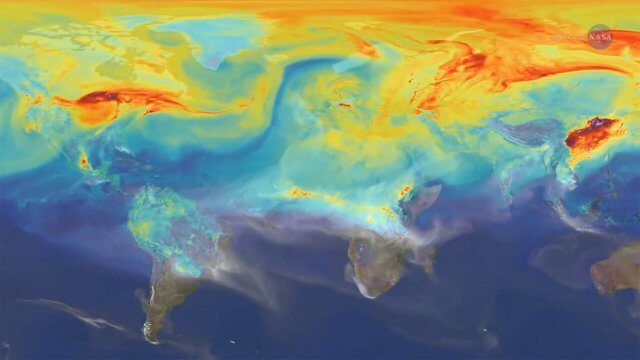
This year’s wildfire season is off to a blazing start. The United States had an early start to the season, with more than 29,000 wildfires burning more than 2.6 million acres of land. The driest season in 14 years has left the southern Amazon primed for heavy wildfire activity as well.
Reshuffling Heat on a Warming Planet
0 Views0 Comments0 Likes
Earth's oceans could be concealing a mystery about climate change. Researchers have recently found evidence of hidden heat hundreds of meters below the ocean's surface.
Meteors Encountering Earth’s Atmosphere
0 Views0 Comments0 Likes
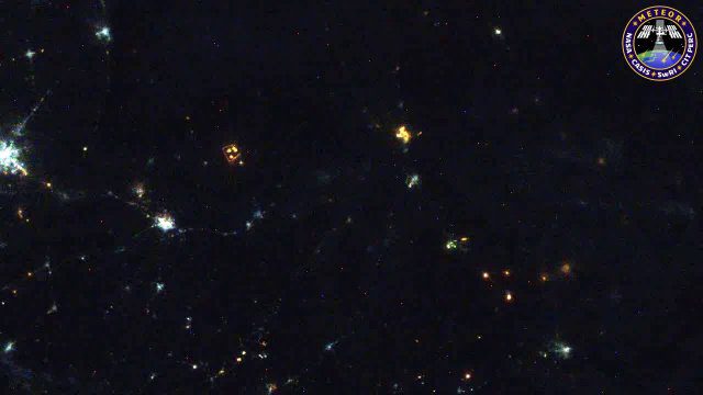
This video was acquired August 10, 2016, with a high-resolution video camera onboard the International Space Station (ISS). Within the span of about 10 seconds, two meteors associated with the Perseid meteor shower streak across the sky above Pakistan. Video was provided by Tomoko Arai/Japan’s Planetary Exploration Research Center/Meteor Composition Determination (Meteor) investigation.
Mapping an Asteroid with Lasers
0 Views0 Comments0 Likes
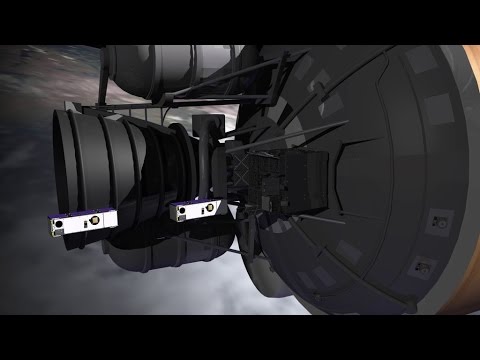
The OSIRIS-REx Laser Altimeter (OLA) will provide a three-dimensional map of asteroid Bennu’s shape, which will allow scientists to understand the context of the asteroid’s geography and the sample location. OLA is provided by the Canadian Space Agency in exchange for Canadian ownership of a portion of the returned asteroid sample. Credit: NASA’s Goddard Space flight Center/Katrina Jackson
Space Station Orbits Three Hurricanes
0 Views0 Comments0 Likes
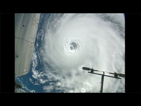
Cameras outside the International Space Station, 257 miles above Earth, captured spectacular views on Aug. 30, 2016, of three powerful tropical systems churning across the Pacific and Atlantic Oceans.
9_27 Climate Change Broadcast (Latest Data, Satellite Launches and More)
0 Views0 Comments0 Likes
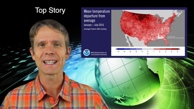
This GeoSpatial Stream looks at the latest data on climate change from NOAA and NASA, including more record temperatures, flooding and shrinking sea ice; new satellites from Google's Terra Bella and Peru; Esri's new way of measuring oceans: the EMU; industry news from Phase One Industrial, TerraGo, Datumate and Satlab Geosolutions; a video of drone imaging for ESA's deep-space tracking system; and more.
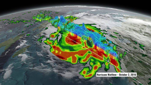
NASA’s 3D View Shows Hurricane Matthew’s Intensity
0 Views0 Comments0 Likes
NASA scientists used satellite data to peer into Hurricane Matthew, learning how and why the massive storm changed throughout its course.
SmallSats are the Next Big Thing
0 Views0 Comments0 Likes
NASA is about to launch six new next-generation Earth-observing small satellites — some as small as a loaf of bread. These tiny spacecraft are helping to foster creative and cost-effective approaches to studying our planet.
NASA’s MMS Satellite Breaks World GPS Record
0 Views0 Comments0 Likes
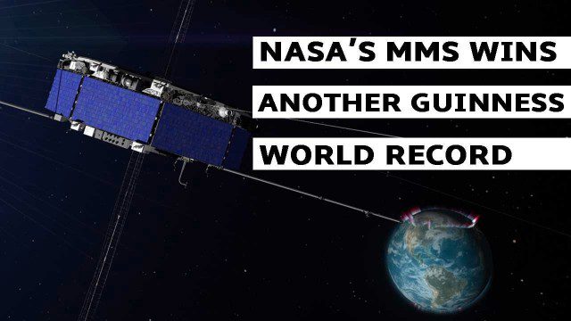
NASA's MMS mission now holds the Guinness World Record for highest altitude GPS fix: 43,500 miles above Earth’s surface.
CORAL Probes Great Barrier Reef
0 Views0 Comments0 Likes
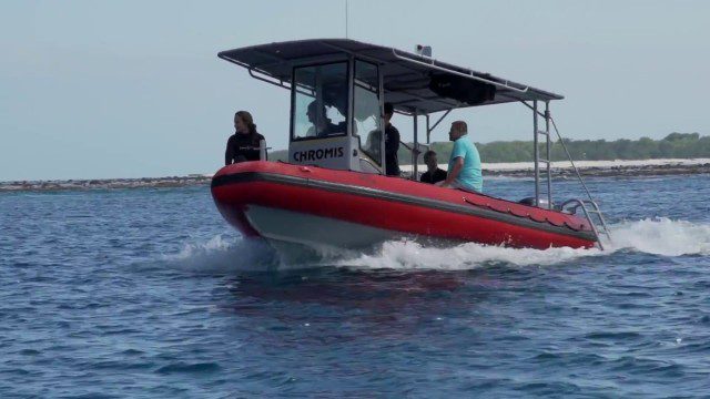
The three-year COral Reef Airborne Laboratory (CORAL) mission will survey a portion of the world's coral reefs to assess the condition of these threatened ecosystems and understand their relation to the environment, including physical, chemical and human factors.


