Tag: NASA
7_10 Remote-Sensing Broadcast (NASA, UN and More)
0 Views0 Comments0 Likes
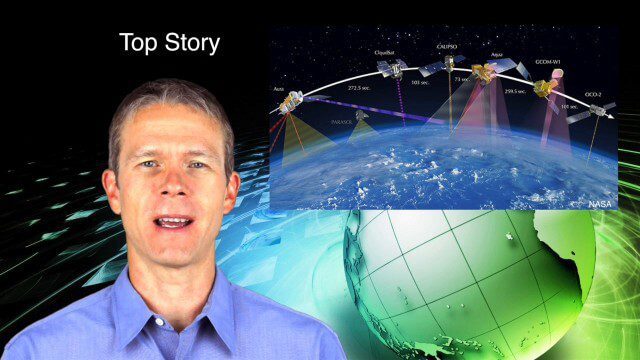
This remote-sensing themed GeoSpatial Stream broadcast discusses NASA's recently launched Orbiting Carbon Observatory-2 satellite as well as its upcoming ISS-RapidScat instrument; The Satellite Project created at New York University; UN Peacekeeping missions using unarmed UAVs; industry news from Fugro, exactEarth, SimActive and EOMAP; the upcoming Esri User Conference; the Climate Resilience App Challenge; and more.
4_28 Earth Imaging Broadcast (Sentinel, Drones and More)
0 Views0 Comments0 Likes
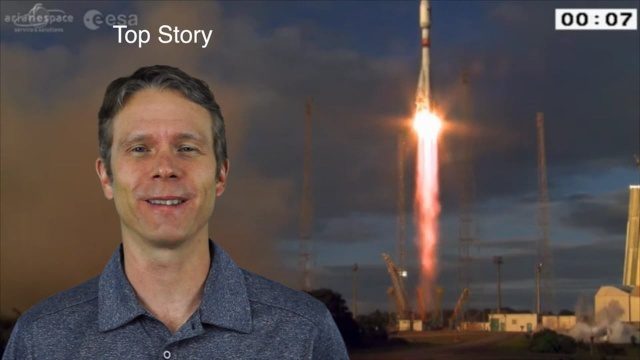
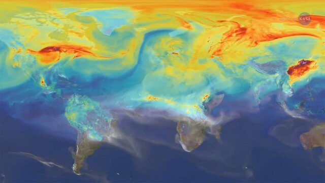
This Earth Imaging-themed GeoSpatial Stream broadcast discusses the recent successful launch of the European Space Agency's Sentinel 1-B satellite; UAS (or drone) news about a 3D-printed vehicle helping ships navigate Antarctic seas as well as the economic impact of the Micro Aerial Vehicle market; a NASA study on the greening of Earth caused by increased carbon dioxide; industry news from 5D Robotics, LizardTech, the U.S. Geospatial Intelligence Foundation and Teledyne Optech; a video about the Sentinel satellites capabilities; and more.
SpaceX Falcon 9 Liftoff with TESS
0 Views0 Comments0 Likes
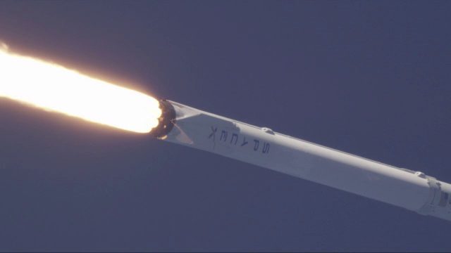
A Falcon 9 rocket lifts off at 6:51 p.m. EDT from Space Launch Complex 40 at Cape Canaveral Air Force Station carrying NASA's Transiting Exoplanet Survey Satellite (TESS).
Reshuffling Heat on a Warming Planet
0 Views0 Comments0 Likes
Earth's oceans could be concealing a mystery about climate change. Researchers have recently found evidence of hidden heat hundreds of meters below the ocean's surface.
Satellite Animation Sees Hurricanes Katia, Irma and Jose
0 Views0 Comments0 Likes
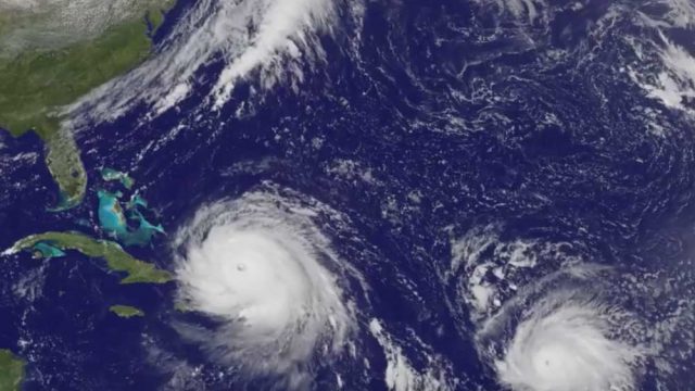
This animation of NOAA's GOES East satellite imagery from Sept. 5 at 7:45 a.m. EDT (1145 UTC) to Sept. 8 ending at 7:45 a.m. EDT (1145 UTC) shows Category 4 Hurricane Irma approach the Bahamas, followed by Hurricane Jose approaching the Leeward Islands. Hurricane Katia continues to spin in the southwestern Gulf of Mexico.
NASA Sees Intense Fires around the World
0 Views0 Comments0 Likes
This year’s wildfire season is off to a blazing start. The United States had an early start to the season, with more than 29,000 wildfires burning more than 2.6 million acres of land. The driest season in 14 years has left the southern Amazon primed for heavy wildfire activity as well.
NASA Earth Expeditions: An Animated Tour
0 Views0 Comments0 Likes
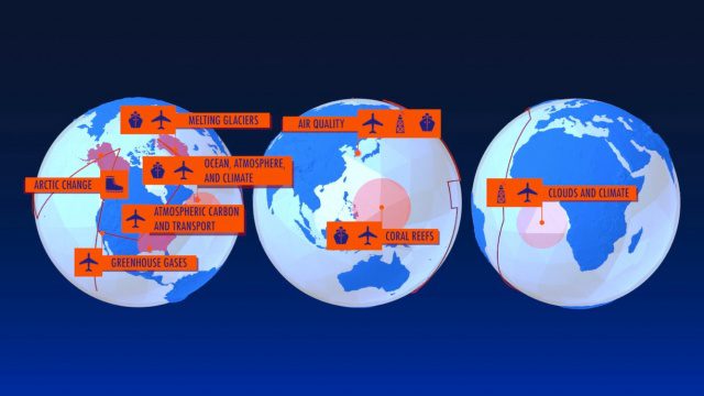
NASA takes you on a world tour with this animation as we kick off major new field campaigns to study regions of critical change from land, sea and air.
NASA: 2017 Takes Second Place for Hottest Year
0 Views0 Comments0 Likes
Earth's surface temperatures in 2017 were the second warmest since since 1880, when global estimates first become feasible, NASA scientists found. Global temperatures 2017 were second only to 2016, which still holds t...
CORAL Probes Great Barrier Reef
0 Views0 Comments0 Likes
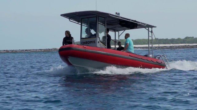
The three-year COral Reef Airborne Laboratory (CORAL) mission will survey a portion of the world's coral reefs to assess the condition of these threatened ecosystems and understand their relation to the environment, including physical, chemical and human factors.
NASA’s Earth Minute: Mission to Earth?
0 Views0 Comments0 Likes
NASA doesn't just explore outer space! Since 1959, with the launch of the first weather satellite, NASA has been studying our home planet on a global scale. NASA monitors Earth's vital signs via satellites and airplanes, sends scientists to the far corners of the land and under the ocean, and develops computer models of Earth's climate processes. Why? Because Earth is the only planet that nearly eight billion people call "home sweet home."

