Tag: NASA
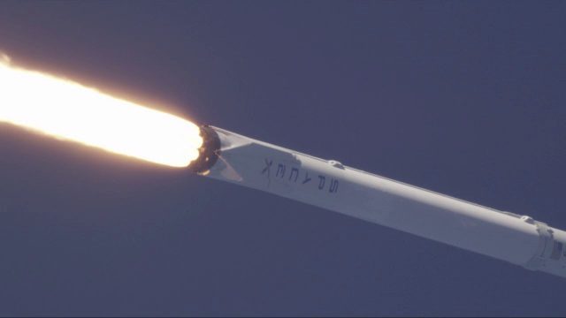
SpaceX Falcon 9 Liftoff with TESS
0 Views0 Comments0 Likes
A Falcon 9 rocket lifts off at 6:51 p.m. EDT from Space Launch Complex 40 at Cape Canaveral Air Force Station carrying NASA's Transiting Exoplanet Survey Satellite (TESS).
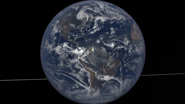
EPIC Observations of Ice in Earth’s Atmosphere
0 Views0 Comments0 Likes
Parked in space a million miles from Earth, the Earth Polychromatic Imaging Camera (EPIC) onboard the Deep Space Climate Observatory (DSCOVR) captures glimmers of reflected sunlight, evidence of ice crystals in the atmosphere.
IceBridge Flies 300 Hours of Antarctic Science Flights
0 Views0 Comments0 Likes
Operation IceBridge is wrapping up its eighth consecutive field season of mapping the ice sheet and glaciers of Antarctica as well as the surrounding sea ice.
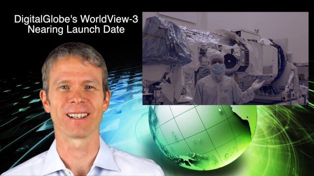
5_22 Remote-Sensing Broadcast (Space Symposium, WorldView-3 and More)
0 Views0 Comments0 Likes
This GeoSpatial Stream broadcast covers a variety of remote-sensing topics, such as the recent Space Symposium in Colorado; a preview of DigitalGlobe's WorldView-3 satellite; a special report on micro-satellites; industry news from Airbus Defence and Space, BAE Systems, Teledyne, and NASA; and more.
Tracking California Rains During El Niño
0 Views0 Comments0 Likes
This winter, areas across the globe experienced a shift in rain patterns due to the natural weather phenomenon known as El Niño. New NASA visualizations of rainfall data show the various changes to California. According to the National Oceanic and Atmospheric Administration, El Niño was expected to produce wetter-than-average conditions from December 2015 to February 2016. Scientists refer to historical weather patterns and to look at trends of where precipitation normally occurs during El Niño events. Also, several factors—not just El Niño—can contribute to unusual weather pattern.
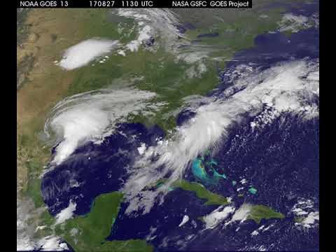
Satellite Animation Shows Harvey Moving into Gulf
0 Views0 Comments0 Likes
This animation of NOAA's GOES East satellite imagery from 9:15 a.m. CDT, Aug. 26, 2017, to 9:30 a.m. CDT, Aug. 28, 2017, shows Hurricane Harvey transitioning to a tropical storm at 1 p.m. CDT on Aug. 26, 2017, and slowly emerging in the Gulf of Mexico on Aug. 28.
A New View of Coral Reefs
0 Views0 Comments0 Likes
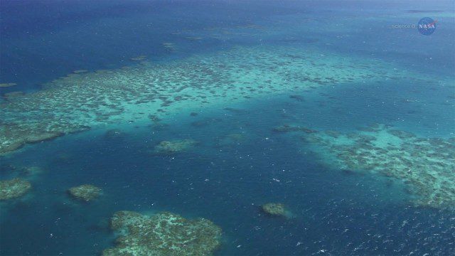
A three-year NASA field expedition to examine Earth’s coral reefs is now underway, giving scientists the opportunity to study reef ecology and conditions.
Ultra High Definition (4K) View of Planet Earth
0 Views0 Comments0 Likes
NASA monitors Earth's vital signs from land, air and space with a fleet of satellites and ambitious airborne and ground-based observation campaigns.
ScienceCasts: A Supermoon Trilogy
0 Views0 Comments0 Likes
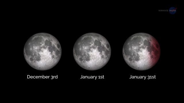
A series of three supermoons will appear on the celestial stage on Dec. 3, 2017, Jan. 1, 2018, and Jan. 31, 2018.

