Tag: GIS
4_14 Infrastructure Broadcast (Transportation Asset Management, Water Infrastructure Needs, and More)
3.51K Views0 Comments0 Likes
This infrastructure-focused GeoSpatial Stream broadcast discusses Transportation Asset Management; a report on water infrastructure; designs to protect against hurricanes; public-transit ridership; historical map archives; private infrastructure funding; news from Bluesky and Bentley Systems; rainwater-capturing infrastructure in Rotterdam, The Netherlands; and more.
6_16 Infrastructure Broadcast (PDH Credit, HxGN Live and More)
2.49K Views0 Comments0 Likes
This Infrastructure-themed GeoSpatial Stream broadcast discusses the latest issue of Informed Infrastructure, including an article on Treasure Island bridge design, PDH credit for an Autodesk benchmark study, and new Web site features and interviews; video clips from the recent HxGN Live event covering Hexagon's latest technologies and direction; industry news from Hexagon, CINTEC America, Contech Engineered Solutions and CoreLogic; thoughts on an upcoming road trip across America's infrastructure; and more.
5_15 Asia-Pacific Broadcast (Sri Lanka Transit GIS, China World Map and More)
3.79K Views0 Comments0 Likes
This Asia-Pacific-focused GeoSpatial Stream broadcast discusses a train accident in Sri Lanka and how a new GIS may prevent future collisions; India's groundwater mapping; China's World Map online; Australia's 2014 Esri Young Scholars Award winner; industry headlines from Trimble, Tencent and NavInfo, and NZ Aerial Mapping; the World Under Water Web site; and more.
Richard Humphrey Interview (Full-Length Version)
4.34K Views0 Comments0 Likes
Todd Danielson interviews Richard Humphrey, senior director, Infrastructure & Collaboration Products, Autodesk. They discuss how technology can help "bridge the gaps" in infrastructure spending, the Autodesk infrastructure product suite, simulation services, information unification, rules-based design platforms, large-scale modeling, and Autodesk's ReCap product.
4_10 GEOINT Broadcast (Special Ops Data, New Weather Satellite, GPS III and More)
4.35K Views0 Comments0 Likes
This GeoSpatial Stream broadcast discusses geospatial intelligence, its legacy and the upcoming GEOINT Symposium; a recently launched U.S. military weather satellite; GPS III developments; industry news from Headwall, Thermopylae Sciences and Technology, Trimble, Esri, DigitalGlobe, and Riegl; and more.
7_1 Drones Broadcast (SPOT 7, Minerals Cadastre and More)
3.43K Views0 Comments0 Likes
This GeoSpatial Stream broadcast discusses the banning of drones from U.S. National Parks; the launch of SPOT 7; a Tanzanian effort to improve its mining cadastre; the first private Russian remote-sensing satellite; industry news from IMAGINiT Technologies, GeoVille, CartoDB, Esri and Boundless; an article in Sensors & Systems; and more.
Exploring InfraWorks Vegas Style! Event (Short Version)
5.82K Views0 Comments0 Likes
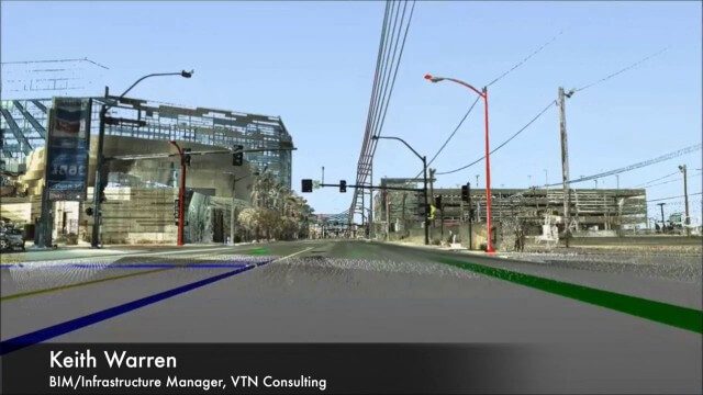
This video is a short trailer of the full video recapping the Exploring InfraWorks (Vegas Style!) event that took place during Autodesk University 2013. A bus trip explored the use of Autodesk technology to model the infrastructure of the city of Las Vegas. VTN Consulting is the main contractor on the project.
Jack Dangermond Addresses Climate Change and the Importance of GeoDesign (3 of 4)
9.45K Views0 Comments0 Likes
In the third of four installments, Todd Danielson interviews Jack Dangermond, President and Founder, Esri, at the 2014 Esri User Conference in San Diego. Jack talks about the Climate Resilience App Challenge, meeting the president and working on climate issues, and the importance of GeoDesign and its growing acceptance and use.

