Tag: GIS
4_14 Infrastructure Broadcast (Transportation Asset Management, Water Infrastructure Needs, and More)
0 Views0 Comments0 Likes
This infrastructure-focused GeoSpatial Stream broadcast discusses Transportation Asset Management; a report on water infrastructure; designs to protect against hurricanes; public-transit ridership; historical map archives; private infrastructure funding; news from Bluesky and Bentley Systems; rainwater-capturing infrastructure in Rotterdam, The Netherlands; and more.
2_12 Roger Tomlinson Broadcast (GeoDesign Summit, Tomlinson Tribute, Landsat 8 and More)
0 Views1 Comments0 Likes
This GeoSpatial Stream broadcast discusses Esri's GeoDesign Summit; the recent passing of Roger Tomlinson, "The Father of GIS"; Landsat 8's birthday; climate change and national security; woodland conservation; geospatial gaming technology; and more.
Roger Tomlinson Tribute (Excerpt)
0 Views0 Comments0 Likes
Richard Humphrey Interview (Full-Length Version)
0 Views0 Comments0 Likes
Todd Danielson interviews Richard Humphrey, senior director, Infrastructure & Collaboration Products, Autodesk. They discuss how technology can help "bridge the gaps" in infrastructure spending, the Autodesk infrastructure product suite, simulation services, information unification, rules-based design platforms, large-scale modeling, and Autodesk's ReCap product.
Exploring InfraWorks, Vegas Style Event (Full-Length Version)
0 Views0 Comments0 Likes
This full-length video summarizes the Exploring InfraWorks, Vegas Style event that took place during Autodesk University on Dec. 4, 2014. A bus trip explored the use of Autodesk technology to model the infrastructure of the city of Las Vegas. VTN Consulting is the main contractor on the project.
3_6 ILMF Broadcast (Conference Recap, USGS News, Aerial Imagery Market and More)
0 Views0 Comments0 Likes
This GeoSpatial Stream broadcast discusses the recent International LiDAR Mapping Forum, important USGS news, the future of the aerial imagery market, a map contest, and more.
3_18 Asia-Pacific Broadcast (Malaysia Flight 370, “Smog-Busting Drones,” Shark Cameras and More)
0 Views0 Comments0 Likes
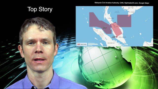
This Asia-Pacific-focused GeoSpatial Stream broadcast discusses the mysteries of Malaysia Flight 370 and geospatial technology’s role, China’s “War on Pollution” enlisting drone smog fighters, Afghanistan resource maps, a youth GIS contest, and more.
3_19 Infrastructure Broadcast (NYC Gas Explosion, Canada vs. U.S. Infrastructure and More)
0 Views0 Comments0 Likes
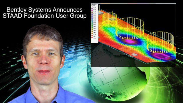
This infrastructure-focused GeoSpatial Stream broadcast discusses the gas-leak explosion in New York City; the state of the U.S. infrastructure; Canadian investment; announcements from the Smart Grid Innovation Hub, Bentley Systems, Esri, Oracle and Topcon Positioning Group; and more.
4_10 GEOINT Broadcast (Special Ops Data, New Weather Satellite, GPS III and More)
0 Views0 Comments0 Likes
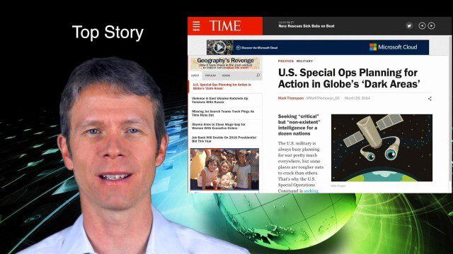
This GeoSpatial Stream broadcast discusses geospatial intelligence, its legacy and the upcoming GEOINT Symposium; a recently launched U.S. military weather satellite; GPS III developments; industry news from Headwall, Thermopylae Sciences and Technology, Trimble, Esri, DigitalGlobe, and Riegl; and more.


