
Tag: GIS

6_9 Earth Imaging Broadcast (Satellite Success, Asteroid Mining and More)
0 Views0 Comments0 Likes
This Earth Imaging-themed GeoSpatial Stream broadcast discusses the recent streak of success at the European Space Agency, including its Sentinel and Galileo launches as well as a demonstration of the SpaceDataHighway; a NASA video about its North Atlantic Aerosols and Marine Ecosystems Study (NAAMES) mission; industry news from Merrick-Surdex Joint Venture, TerraGo, Earth-i, Teledyne Optech and Siteco Informatica; thoughts on asteroid mining and related benefits to Earth sensing; and more.

7_1 Drones Broadcast (SPOT 7, Minerals Cadastre and More)
0 Views0 Comments0 Likes
This GeoSpatial Stream broadcast discusses the banning of drones from U.S. National Parks; the launch of SPOT 7; a Tanzanian effort to improve its mining cadastre; the first private Russian remote-sensing satellite; industry news from IMAGINiT Technologies, GeoVille, CartoDB, Esri and Boundless; an article in Sensors & Systems; and more.

7_10 Remote-Sensing Broadcast (NASA, UN and More)
0 Views0 Comments0 Likes
This remote-sensing themed GeoSpatial Stream broadcast discusses NASA's recently launched Orbiting Carbon Observatory-2 satellite as well as its upcoming ISS-RapidScat instrument; The Satellite Project created at New York University; UN Peacekeeping missions using unarmed UAVs; industry news from Fugro, exactEarth, SimActive and EOMAP; the upcoming Esri User Conference; the Climate Resilience App Challenge; and more.

7_23 Esri UC Broadcast (Video Recap, Exhibitor News and More)
0 Views0 Comments0 Likes
This GeoSpatial Stream broadcast covers news and events from the recent Esri User Conference in San Diego, including a video recap of speakers and topics; news from Esri on the Special Achievement in GIS Awards, its Tapestry Segmentation system and a partnership with European Schoolnet; exhibitor news from Topcon Positioning Group, Airbus Defense and Space, LizardTech and Scene Sharp; a clip from an interview with Jack Dangermond, Esri's president and founder; and more.

7_30 Asia-Pacific Broadcast (Deforestation, Beijing Smog and More)
0 Views0 Comments0 Likes
This Asia-Pacific-focused GeoSpatial Stream broadcast discusses deforestation in Indonesia; IBM joining Beijing's fight against smog; Asian effects on mobile-device charging; Pakistan's move toward space technology; satellite imagery use in Australian vineyards; industry news from Spatial Dimensions, ScanEx, Maptek and Esri; geospatial insight into Indonesian politics; and more.
Dr. Joachim Rix – INTERGEO Opinion Leader Talk
0 Views0 Comments0 Likes
Dr. Joachim Rix, Competence Center Spatial Information Management at Fraunhofer IGD, speaks about the project “Smarticipiate” and his congress block at INTERGEO in Hamburg.

Esri’s Director of Solutions Discusses Apps, Simplicity and Passion
0 Views0 Comments0 Likes
Todd Danielson interviews Damian Spangrud, Director of Solutions, Esri, at the 2014 Esri User Conference in San Diego. They discuss what it's like working at Esri, the tools needed to create a public-facing GIS app and "never underestimating how simple things need to be."

Exploring InfraWorks Vegas Style! Event (Short Version)
0 Views0 Comments0 Likes
This video is a short trailer of the full video recapping the Exploring InfraWorks (Vegas Style!) event that took place during Autodesk University 2013. A bus trip explored the use of Autodesk technology to model the infrastructure of the city of Las Vegas. VTN Consulting is the main contractor on the project.
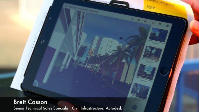
Exploring InfraWorks, Vegas Style Event (Full-Length Version)
0 Views0 Comments0 Likes
This full-length video summarizes the Exploring InfraWorks, Vegas Style event that took place during Autodesk University on Dec. 4, 2014. A bus trip explored the use of Autodesk technology to model the infrastructure of the city of Las Vegas. VTN Consulting is the main contractor on the project.

GEO Looking to Increase Partnerships with the Private Sector
0 Views0 Comments0 Likes
Matt Ball interviews Barbara Ryan, Director, Group on Earth Observations (GEO) Secretariat, at the 2014 Esri User Conference in San Diego. Ryan discusses her role at GEO; a key meeting in Geneva, Switzerland; the next 10 years at the organization; and its growth in partnering with the private sector.


