


Category: Found on the Internet
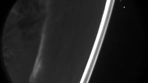
Aurora from Above
0 Views0 Comments0 Likes
This video of the aurora borealis was captured by the Fast Auroral Imager, which is part of the e-POP instrument package carried on Canada’s Cassiope satellite.
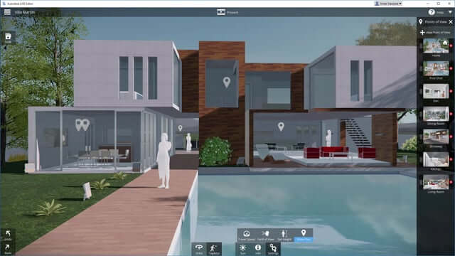
Autodesk LIVE Brings Interactive Storytelling to Life
0 Views0 Comments0 Likes
Autodesk Inc. recently launched Autodesk LIVE, a new interactive visualization service that offers Revit users in the architecture, engineering and construction industries (AEC) the ability to transform their designs into fully interactive 3D models. This video provides a demo of the new technology.
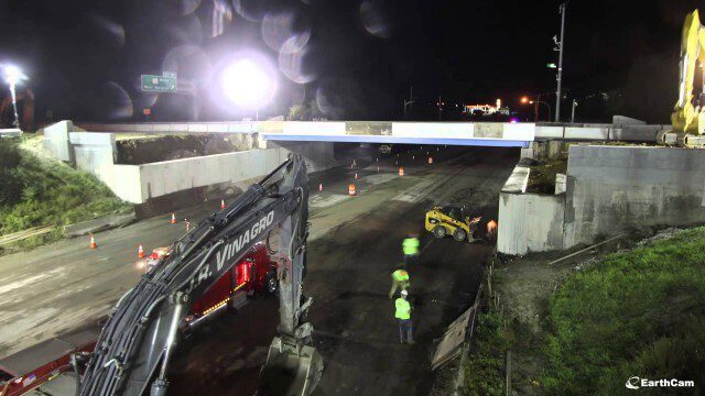
Barton Corner Bridge Project
0 Views0 Comments0 Likes
In August 2014 we completed replacement of the Barton Corner Bridge, which carries four lanes of I-95 plus two auxiliary lanes at a busy interchange with Route 2 on the Warwick/West Warwick line. Using accelerated bridge construction, we built two halves of the bridge on land adjacent to the overpass, and then moved them into place. This enabled us to build the bridge much faster compared with conventional construction methods, which would have taken twice the time. This approach also allowed us to do the work with no impact to Interstate traffic prior to installation.
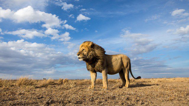
BeetleCam Project
0 Views0 Comments0 Likes
New video footage from BeetleCam in the Serengeti, plus announcing the new BeetleCam Hybrid!
Berlin Battles Heatwave
0 Views0 Comments0 Likes
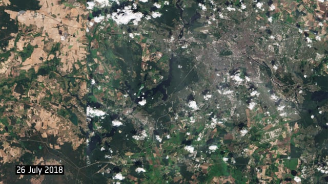
This year’s heatwave continues to sweep across Europe, with wildfires reported across the continent, as the current heat scorches land and vegetation in countries such as the UK, Sweden and Greece. These two images from the Copernicus Sentinel-2 mission show agricultural fields and land around the capital of Germany, Berlin.
BISAG GUJARAT
0 Views0 Comments0 Likes

Building Climate Resilience: Getting Started
0 Views0 Comments0 Likes
For many Americans, adapting to new climate regimes means developing new expertise. Decision-makers across the nation are using data and tools to reduce their risks and protect their investments from climate. This video explains how you can use the Climate Resilience Toolkit web site to improve resilience.
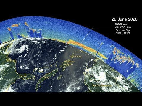
CALIPSO Observes Saharan Dust Transport
0 Views0 Comments0 Likes
The Cloud-Aerosol Lidar and Infrared Pathfinder Satellite Observations (CALIPSO) satellite—a joint venture between NASA and the French space agency, Centre National d'Etudes Spatiales (CNES)—observed the plume as it traveled across the ocean and eventually affected the mainland of the United States.
Can the Next Generation of Satellites Help Predict and Battle Wildfires?
0 Views0 Comments0 Likes
Re/code visits NASA's Silicon Valley research center, where a pair of startups are working together to democratize satellite data. Aquila Space is building a fleet of satellites while its partner Astro Digital is developing software tools that allow anyone to process and analyze the data. Among other things, the information could be used to help inform policy and responses for ecological disasters, including the droughts and wildfires plaguing California.
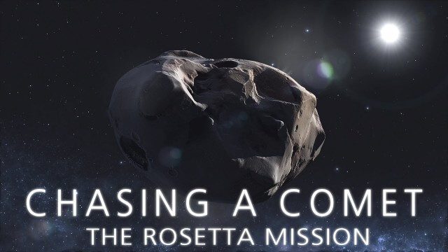
CHASING A COMET – The Rosetta Mission
0 Views0 Comments0 Likes
Among the most fascinating projects in the exploration of the Universe is the European Space Agency's Rosetta mission, launched in 2004 to investigate the comet 67P/Churyumov--Gerasimenko. For the first time, a spacec...


