


Category: Found on the Internet
Map Survey (1965)
2.56K Views0 Comments0 Likes
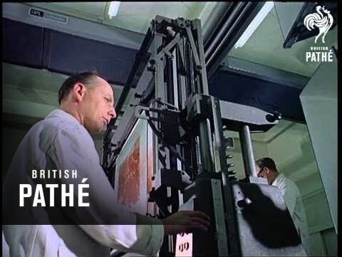
"Britain is the world's greatest map making country" announces the narrator. Various shots of maps being crafted. Large optical devices are used - a camera "as big as a fair sized room" is used to take photographs of the maps. We are at the Ordnance Survey Commission headquarters. Various shots of technicians looking at the large photographs.
Roger Tomlinson Tribute (Excerpt)
2.60K Views0 Comments0 Likes
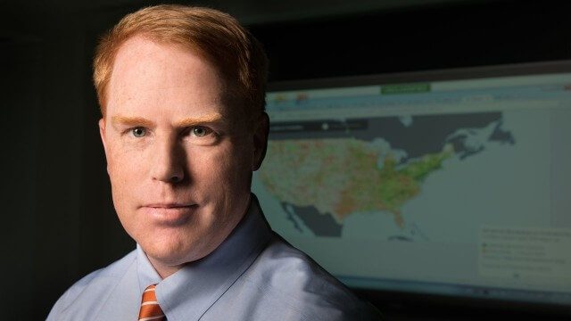
FCC Geographer Byrne Receives Medal for National Broadband Map
2.60K Views0 Comments0 Likes
As the FCC’s geographic information officer, Michael Byrne helped create online maps and present data in ways that have made enormous amounts of information instantly available to consumers, citizen-activists and policymakers, and provided the business community with facts to make more informed commercial decisions.
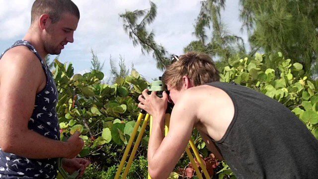
Surveying, Mapping and GIS Expedition to British Virgin Islands
2.61K Views0 Comments0 Likes

First Interstellar Asteroid Wows Scientists
2.62K Views0 Comments0 Likes
Scientists were surprised and delighted to detect--for the first time--an interstellar asteroid passing through our solar system.
LiDAR – Introduction to Light Detection and Ranging
2.67K Views0 Comments0 Likes
This video presents LiDAR of light detection and ranging, an active remote sensing system that uses laser energy, to measure the heights of objects like trees and buildings and even the ground. This video was developed by the National Ecological Observatory Network (www.neoninc.org).

Autodesk LIVE Brings Interactive Storytelling to Life
2.67K Views0 Comments0 Likes
Autodesk Inc. recently launched Autodesk LIVE, a new interactive visualization service that offers Revit users in the architecture, engineering and construction industries (AEC) the ability to transform their designs into fully interactive 3D models. This video provides a demo of the new technology.

Kids Making Sense Environment Mapping
2.73K Views0 Comments0 Likes
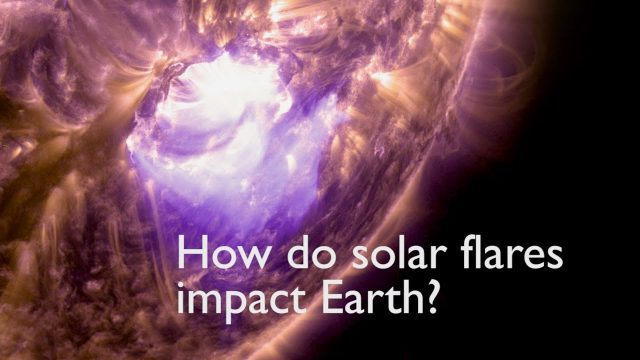
How Solar Flares Affect Earth
2.83K Views0 Comments0 Likes
A team of scientists led by Laura Hayes–a solar physicist who splits her time between NASA's Goddard Space Flight Center and Trinity College in Dublin, Ireland–investigated a connection between solar flares and Earth's atmosphere.
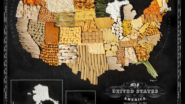
Food Maps
2.92K Views0 Comments0 Likes
These food maps created by Caitlin Levin and Henry Hargreaves originally were inspired by a passion for travel. Exploring new places through the food you eat is often a portal to the cultural complexities of that place.


