


Category: Found on the Internet

Living History: The John Feathers Map Collection
2.43K Views0 Comments0 Likes
LAPL Map Librarian Glen Creason tells the tale of an amazing hidden map collection that doubled the library's archive in a single day. http://lareviewofbooks.org/av/
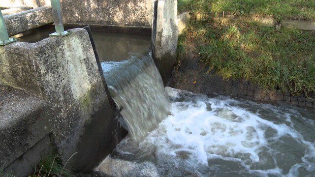
Digital Delta transforms Dutch water system using Big Data
2.43K Views0 Comments0 Likes
This video introduces IBM Smarter Water Management solutions running on IBM Intelligent Water software to address Flood and Natural Resource Management. This solution provides the Dutch Water authorities a breakthrough innovation program to harness insights from Big Data and transform flood control and management of the entire Dutch water system.
Exploring Space: Cosmic Revolutionaries
2.44K Views0 Comments0 Likes
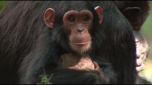
NASA Partners with Jane Goodall Institute to Protect Chimpanzees
2.45K Views0 Comments0 Likes
Data from Landsat satellites, a joint mission of NASA and the U.S. Geological Survey, have been critical to helping the Jane Goodall Institute in their work to protect chimpanzees and their habitat. In this video, Goodall and JGI scientist Lilian Pintea discuss the transformational role of seeing changing habitats from above.
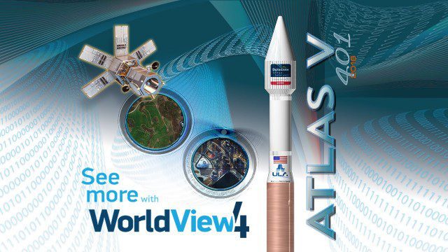
Atlas V WorldView Launch Broadcast Replay
2.46K Views0 Comments0 Likes
Watch a replay as the ULA's Atlas V launches the WorldView-4 launch for DigitalGlobe.

The Global Sensor Network – University of South Australia
2.47K Views0 Comments0 Likes
Australia has a combined land and sea territory of more than 8 million square kilometers. Yet most of this is currently out of the reach of affordable communication. Now the University of South Australia's Institute for Telecommunications Research has turned this on its head, with the development of the Global Sensor Network. The Global Sensor Network is an innovative signal processing system which provides low cost, two-way, simultaeneous satellite communications to multiple users.
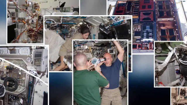
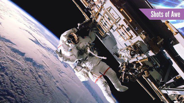
International Space Station Gets a Ten-Year Extension
2.49K Views0 Comments0 Likes


The Algorithm Marketplace
2.55K Views0 Comments0 Likes
The Algorithm Marketplace provides automated analysis of aerial data acquired by UAVs (Unmanned Aerial Vehicles). Using sophisticated algorithms, drone operators no longer need a background in geographic information system (GIS) or remote sensing to interpret their aerial data; instead, the marketplace provides an action-based report to improve management of assets.
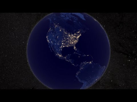
NASA Earth at Night
2.56K Views0 Comments0 Likes
In daylight our big blue marble is all land, oceans and clouds. But the night - is electric. This view of Earth at night is a cloud-free view from space as acquired by the Suomi National Polar-orbiting Partnership Satellite (Suomi NPP).


