


Category: Found on the Internet
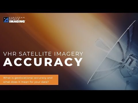
Why Geolocational Accuracy Matters
548 Views0 Comments0 Likes
Satellite imagery has revolutionised industries, all around the world. The resolution and clarity of these images keeps increasing and because of that, it is important to understand the geolocational and geospatial ac...
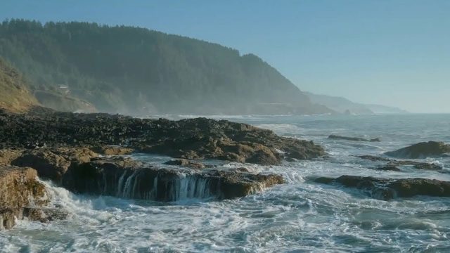
The YEARS Project: Warming Oceans
1.08K Views0 Comments0 Likes
Scientists have discovered that the world's oceans are warming 40% faster than we thought. That has dire implications for sea creatures and people.
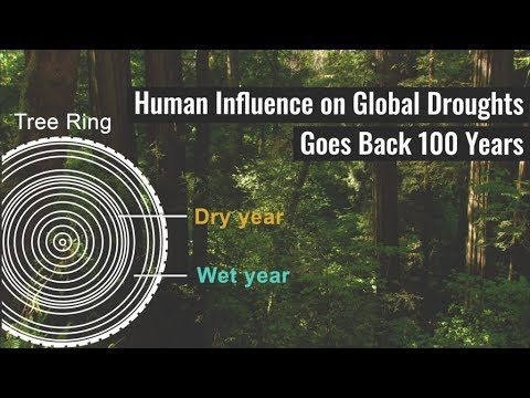
Human Influence on Global Droughts Goes Back 100 Years
792 Views0 Comments0 Likes
Human-generated greenhouse gases and atmospheric particles were affecting global drought risk as far back as the early 20th century, according to a study from NASA's Goddard Institute for Space Studies (GISS) in New York City.
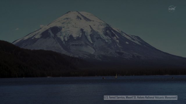
Landsat Tracks Mount St. Helens Recovery
4.83K Views0 Comments0 Likes
By observing different wavelengths of light reflected off the surface, Landsat data can identify different types of land cover.
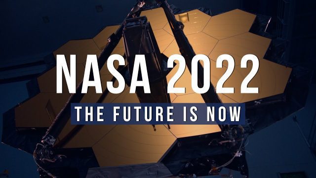
NASA 2022: The Future is Now
34 Views0 Comments0 Likes
Receiving the first images from the James Webb Space Telescope, sending the first uncrewed Artemis mission around the Moon and back to Earth, sending NASA science and technology to the surface of the Moon on three mi...
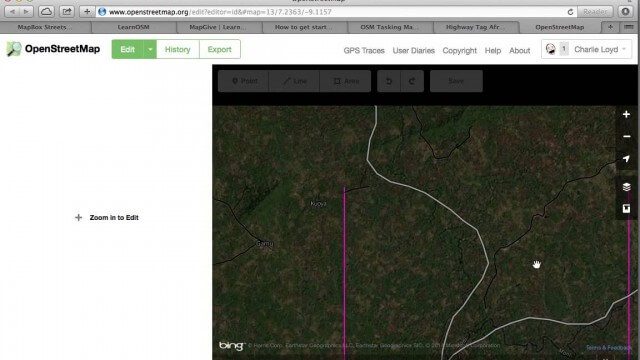
Tracing Demonstration for the Humanitarian OpenStreetMap Team (HOT)
1.53K Views0 Comments0 Likes
This is a simple demonstration of what it looks like to trace for the Humanitarian OpenStreetMap Team (HOT). It’s not meant as a full guide, just an example. If I’m too mumbly, please turn on the captions – the CC button below the video.
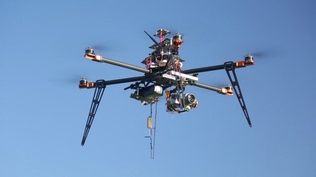
Drones for Aerial Survey and 3D Modelling Updated
2.20K Views0 Comments0 Likes
This video replaces an earlier upload demonstrating the extraction of 3D detail for buildings and/ or terrain from high resolution drone aerial photographs using photogrammetry and geo-referencing. This version includes high definition footage from a simulated autonomous circular aerial survey of an industrial asset, incorporating VidiAir's precision ground survey control points (significantly more accurate than Google Earth), EMF/ RF protection and laser range-finding with telemetry - an important consideration when flying in close proximity to structures/ obstacles, particularly in gusting winds.
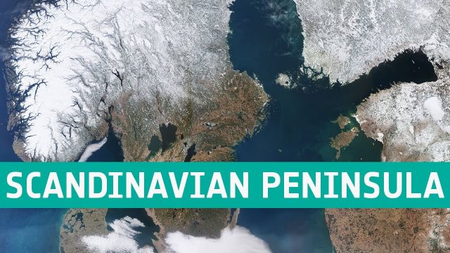
Earth from Space: Scandinavian Peninsula
16 Views0 Comments0 Likes
This week's edition of the Earth from Space program features an impressive shot of the almost cloud-free Scandinavian Peninsula captured by the Copernicus Sentinel-3 mission.
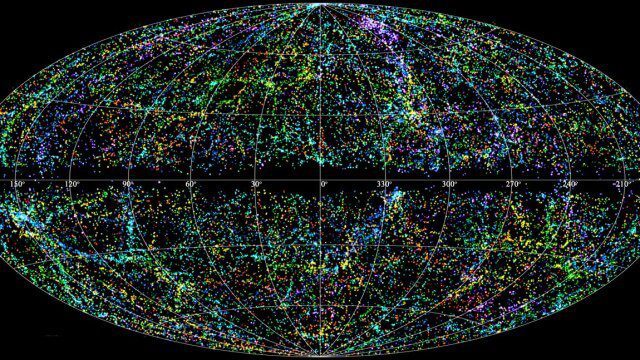
“Mapping the Universe” with Daniel Eisenstein
2.32K Views0 Comments0 Likes
Galaxies are not scattered randomly throughout the universe. Instead, they group into stringy filaments that span hundreds of millions of light-years. How did such structure evolve from the bland primordial soup that followed the Big Bang? New clues are coming from an ambitious mapping project, the Sloan Digital Sky Survey, which has measured the distance to galaxies halfway across the observable universe. Daniel Eisenstein is director of the Sloan Digital Sky Survey III (SDSS-III) and a member of the National Academy of Sciences.
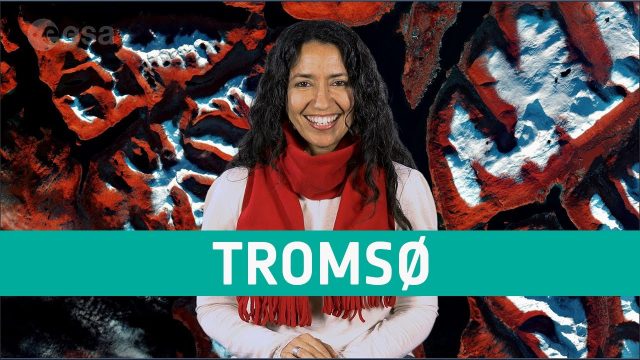
Earth from Space: Tromsø
648 Views0 Comments0 Likes
The Copernicus Sentinel-2 mission takes us over Tromsø, the largest city in northern Norway, in this week's edition of the Earth from Space program.


