Category: Found on the Internet
Using NASA Data to Monitor Drought and Food Insecurity
0 Views0 Comments0 Likes
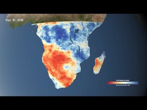
NASA's satellite imagery and model forecasts play an important role in monitoring the performance of crops worldwide and preparing for food shortages.
Earth from Space: Lena River Delta
0 Views0 Comments0 Likes
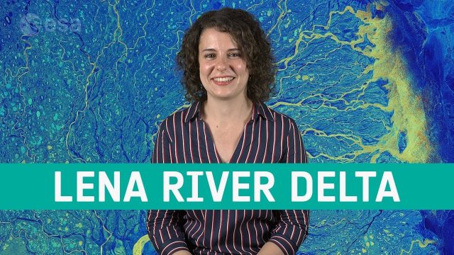
Copernicus Sentinel-1 takes us over Lena River Delta, in Russia, in this week's edition of the Earth from Space program.
NASA Follows Changing Freshwater from Space
0 Views0 Comments0 Likes
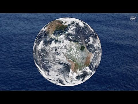
The first question NASA researchers studying freshwater on Earth ask is: Where is the water?
Teledyne Lidar Enables 3D Data Acquisition, Visual Effects for HBO’s Game of Thrones
0 Views0 Comments0 Likes
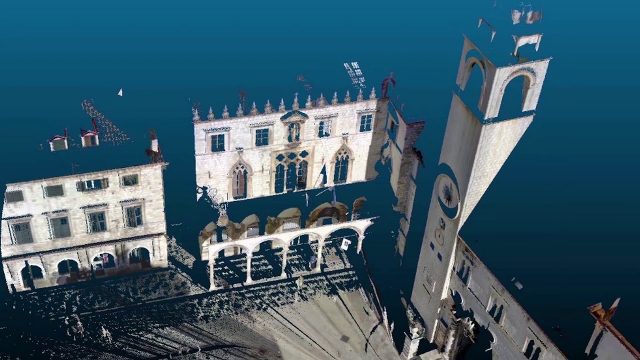
Vektra generated 3D point clouds in Dubrovnik using various lidar technologies including Teledyne Optech’s Maverick mobile lidar system and Polaris fixed terrestrial scanner. The lidar point clouds were then colorized with digital camera imagery and image fusion software.
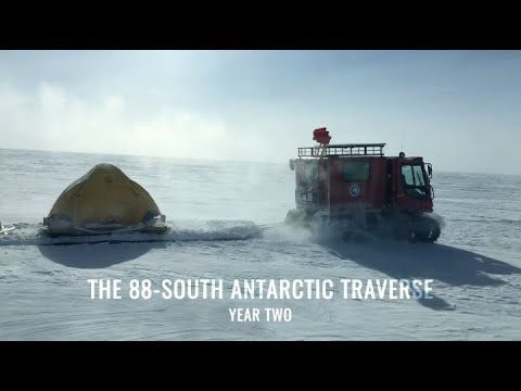
88-South Antarctic Traverse: Year Two
0 Views0 Comments0 Likes
The 470-mile expedition in one of the most barren landscapes on Earth provides the best means of assessment of the accuracy of data collected from space by the Ice Cloud and land Elevation Satellite-2 (ICESat-2).
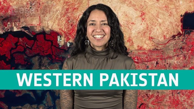
Earth from Space: Western Pakistan
0 Views0 Comments0 Likes
In this week's edition of the Earth from Space program, Copernicus Sentinel-2 takes us over western Pakistan and an important wetland area.
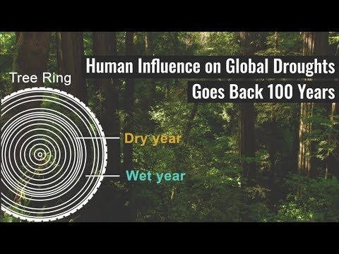
Human Influence on Global Droughts Goes Back 100 Years
0 Views0 Comments0 Likes
Human-generated greenhouse gases and atmospheric particles were affecting global drought risk as far back as the early 20th century, according to a study from NASA's Goddard Institute for Space Studies (GISS) in New York City.
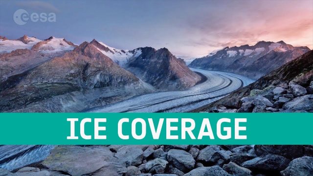
Ice Coverage: The Global Thaw
0 Views0 Comments0 Likes
One of the casualties of climate change is the diminishing ice cover, affecting our planet in a number of ways. ESA’s satellites observe the planet’s cryosphere and provide key information to understand and respond to global thawing.
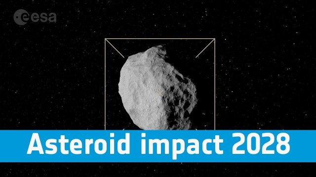
Asteroid Impact 2028: Protecting Our Planet
0 Views0 Comments0 Likes
Find out more about how we are preparing to protect our pale blue dot, its inhabitants and the vital satellite systems on which we have become so dependent.
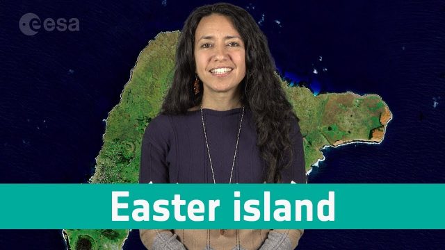
Earth from Space: Easter Island
0 Views0 Comments0 Likes
In this week's edition of the Earth from Space programme, Copernicus Sentinel-2 takes us over one of the most remote islands in the world: Easter Island.


