Category: Daily Digests
8_21 Climate Change Broadcast (New NASA Instruments, Ice Sheets and More)
0 Views0 Comments0 Likes
This GeoSpatial Stream broadcast discusses the latest news on climate change, including new NASA monitoring instruments for the International Space Station and ESA's CryoSat mission to measure ice-sheet loss; a U.S. Army Corps of Engineers call for infrastructure improvements in the Mississippi River Watershed; Maps.com and its new Field Trip Library educational series; industry news from American Sentinel University, Nokia HERE and Apple; a LiDAR video from the National Ecological Observatory Network on monitoring trees; and more.
8_14 Remote-Sensing Broadcast (WorldView-3 Launch, NASA Satellites and More)
0 Views0 Comments0 Likes
This remote-sensing themed GeoSpatial Stream broadcast discusses the launch of DigitalGlobe's WorldView-3 satellite and its implications; NASA's carbon dioxide- and weather-monitoring satellites; an award for NGA Director Letitia Long; industry news from Esri and CartoDB; the Center for Satellite-Based Crisis Information; and more.
8_11 Water Resources Broadcast (Massive Groundwater Loss, Algal Blooms and More)
0 Views0 Comments0 Likes
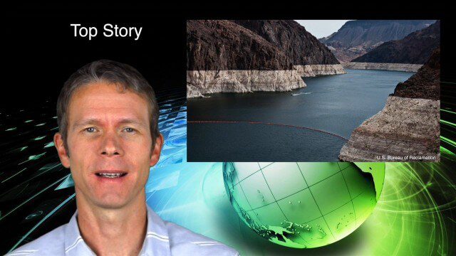
This GeoSpatial Stream broadcast discusses a NASA study on massive groundwater loss in the Colorado River Basin; remote sensing to study algal blooms in Lake Erie; the USGS National Map Corps' latest addition; an Esri Story Map on the Football Hall of Fame; industry news from Pelydryn, Airborne Hydrography, Leica Geosystems, Geographic Technologies Group, URISA and Lockheed Martin; river pollution; and more.
7_30 Asia-Pacific Broadcast (Deforestation, Beijing Smog and More)
0 Views0 Comments0 Likes
This Asia-Pacific-focused GeoSpatial Stream broadcast discusses deforestation in Indonesia; IBM joining Beijing's fight against smog; Asian effects on mobile-device charging; Pakistan's move toward space technology; satellite imagery use in Australian vineyards; industry news from Spatial Dimensions, ScanEx, Maptek and Esri; geospatial insight into Indonesian politics; and more.
7_23 Esri UC Broadcast (Video Recap, Exhibitor News and More)
0 Views0 Comments0 Likes
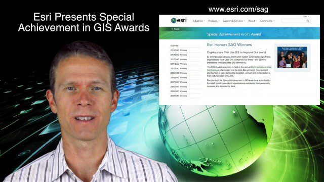
This GeoSpatial Stream broadcast covers news and events from the recent Esri User Conference in San Diego, including a video recap of speakers and topics; news from Esri on the Special Achievement in GIS Awards, its Tapestry Segmentation system and a partnership with European Schoolnet; exhibitor news from Topcon Positioning Group, Airbus Defense and Space, LizardTech and Scene Sharp; a clip from an interview with Jack Dangermond, Esri's president and founder; and more.
7_10 Remote-Sensing Broadcast (NASA, UN and More)
0 Views0 Comments0 Likes
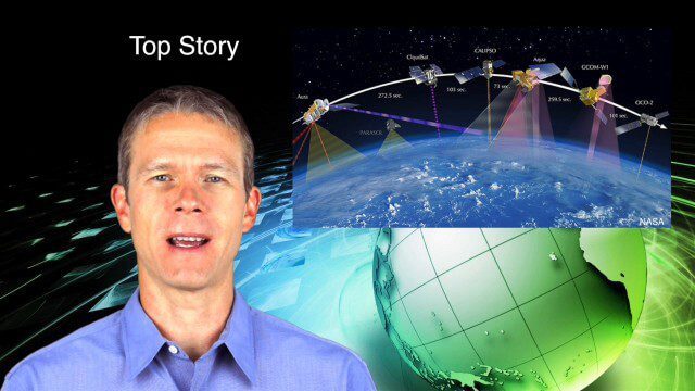
This remote-sensing themed GeoSpatial Stream broadcast discusses NASA's recently launched Orbiting Carbon Observatory-2 satellite as well as its upcoming ISS-RapidScat instrument; The Satellite Project created at New York University; UN Peacekeeping missions using unarmed UAVs; industry news from Fugro, exactEarth, SimActive and EOMAP; the upcoming Esri User Conference; the Climate Resilience App Challenge; and more.
7_1 Drones Broadcast (SPOT 7, Minerals Cadastre and More)
0 Views0 Comments0 Likes
This GeoSpatial Stream broadcast discusses the banning of drones from U.S. National Parks; the launch of SPOT 7; a Tanzanian effort to improve its mining cadastre; the first private Russian remote-sensing satellite; industry news from IMAGINiT Technologies, GeoVille, CartoDB, Esri and Boundless; an article in Sensors & Systems; and more.
6_25 Hurricane Broadcast (Infrastructure Spending, Iraq and More)
0 Views0 Comments0 Likes
This GeoSpatial Stream broadcast discusses the 2014 hurricane season; infrastructure spending predicted to increase to $9 trillion by 2025; a Landsat image of Iraq; the Dutch Water System; industry news from Eagle Mapping, Riegl, E-Capture R&D, Esri, Blue Marble Geographics and URISA; and more.
6_19 Asia-Pacific Broadcast (Toxic Sites, Bird Flu Maps and More)
0 Views0 Comments0 Likes
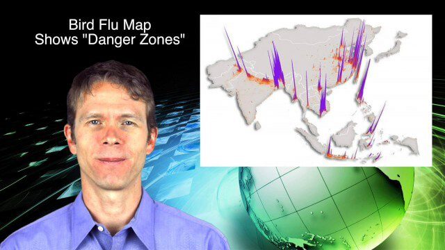
This Asia-Pacific-focused GeoSpatial Stream broadcast discusses an analysis from the Global Alliance on Health and Pollution; 3D images of the Fukushima Daiichi nuclear complex; an Indonesia forestry map; bird flu maps; China's Fengyun-3C satellite; India's Bhaskaracharya Institute for Space Applications and Geoinformatics; industry headlines from AAM and JTRS Registered Surveyor, Fugro, VisionMap and Acute3D, and Supergeo; the "Poisoned Poor"; and more.


