


Category: Daily Digests
12_4 TIGER Broadcast (Database Milestones, People to Pixels and More)
3.57K Views0 Comments0 Likes
This GeoSpatial Stream broadcast discusses "People to Pixels" remote-sensing techniques that won a major award; the 25th anniversary of the U.S. Census Bureau's TIGER database; industry news from Esri, SmarterBetterCities, TomTom, Fleetlogic and ThinkGeo; clips from an interview with Greg Bentley, CEO of Bentley Systems; information about an upcoming Webcast on Structural Steel Fabrication; and more.

12_11 Infrastructure Broadcast (Autodesk University, Bentley Webcast and More)
3.77K Views0 Comments0 Likes
This GeoSpatial Stream broadcast discusses infrastructure news and videos, including highlights from Autodesk University (AU) in Las Vegas; a Bentley Systems/Informed Infrastructure Webcast on Steel Fabrication; The Nature Conservancy's Urban Water Blueprint; industry news from Topcon Positioning Group, Intergraph and Mott MacDonald; video clips from AU keynotes; and more.
12_18 Asia-Pacific Broadcast (Cultural Heritage, APAC LBS Market and More)
3.98K Views0 Comments0 Likes
This Asia-Pacific-focused GeoSpatial Stream broadcast discusses a Cultural Preservation survey project in LaoSiCheng, China; a market-research report on the APAC region's LBS market; a V1 Media interview with a Bentley Systems Year in Infrastructure award winner from China; industry headlines from Paragon Software Systems, SkyTraq Technology Inc., Supergeo Technologies and Hamon Thermal Co.; and more.
1_8 New Year Broadcast (10 Predictions for 2015, AirAsia Flight and More)
3.91K Views0 Comments0 Likes
This GeoSpatial Stream broadcast looks back at 2014 and ahead to 2015, including the Top Ten Predictions for 2015; the tragic Indonesia AirAsia Flight 8501; industry news from Cadcorp, the Space Foundation and Elsevier; a roundup of important milestones from 2014; and more.
1_15 Infrastructure Broadcast (Geodesign Summit, Road Maintenance and More)
3.54K Views0 Comments0 Likes
This Infrastructure-themed GeoSpatial Stream broadcast discusses the impending road-maintenance crisis worldwide as well as possible new spending initiatives; U.S. DOT grants to strengthen commercial vehicle safety via intelligent transportation systems; a new "drive by" heat-mapping system; industry news from USGIF, Esri, Innovyze and FARO; a video from the 2014 Geodesign Summit in anticipation of this year's event; and more.
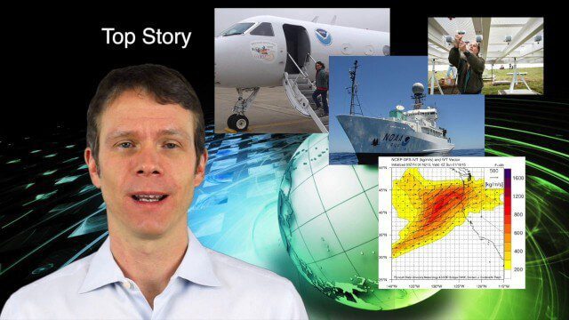
1_29 Climate Change Broadcast (CalWater 2015, USGS News and More)
4.46K Views0 Comments0 Likes
This GeoSpatial Stream broadcast discusses NOAA's CalWater 2015 project; USGS' new Groundwater Toolbox; industry news from Esri, Bentley Systems, URISA, MDA Information Systems and PCI Geomatics; a video from the 2014 Geodesign Summit; and more.
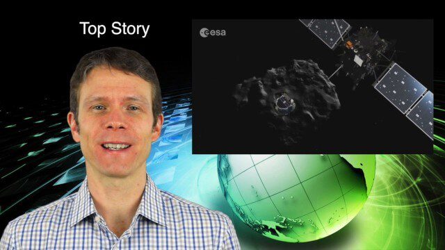
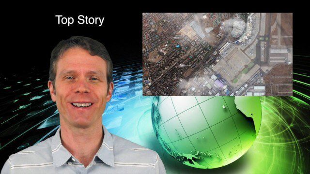
2_5 Earth Imaging Broadcast (Rosetta Mission, QuickBird Retires and More)
4.41K Views0 Comments0 Likes
This Earth Imaging-themed GeoSpatial Stream broadcast discusses the Rosetta Space Mission that landed on a comet; a new instrument on the International Space Station; a new UAS endurance record; DigitalGlobe's retiring of its QuickBird satellite after 13 years; industry news from Scene Sharp Technologies, Sokkia, NGA, BAE Systems and Google Earth Pro; new videos posted to GeoSpatial Stream; and more.
2_12 Maps and Drones Broadcast (Google Maps, Drones for Good and More)
3.88K Views0 Comments0 Likes
This GeoSpatial Stream broadcast discusses the 10-year anniversary of Google Maps; the Drones for Good contest and drone privacy issues; industry news from Esri, Cadcorp and LizardTech; an unintentionally funny video from Ordnance Survey in 1965; and more.
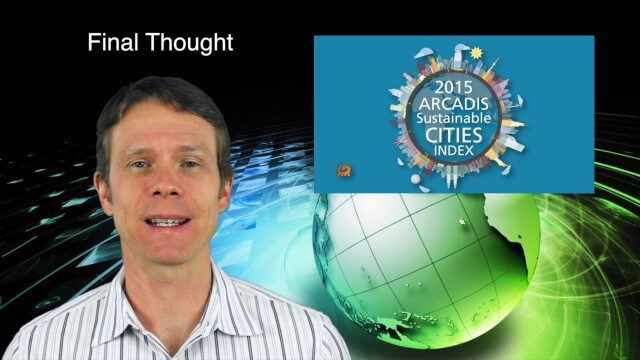
2_19 Infrastructure Broadcast (NSDI, Sustainable Cities and More)
4.21K Views0 Comments0 Likes
This Infrastructure-themed GeoSpatial Stream broadcast discusses the National Spatial Data Infrastructure (NSDI) Report Card; a Center for Environmental Health map concerning lead-contaminated fuel near airports; industry news from Hexagon, Trimble, Viametris, Apple and Bentley Systems; a video concerning the 2015 ARCADIS Sustainable Cities Index; and more.
3_5 Earth Imaging Broadcast (DigitalGlobe, LiDAR and More)
4.76K Views0 Comments0 Likes
This GeoSpatial Stream broadcast discusses the public release of 30-centimeter-resolution satellite imagery from DigitalGlobe and the company's partnership with the United Nations; the National Ecological Observation Network's new LiDAR data; an award for the Orion Space mission; industry news from exactEarth, Esri, Google, and the U.S. EPA and NOAA; a recap of the recent International LiDAR Mapping Forum in Denver; and more.


