


Category: Conference Interviews
Geospatial as an Integral Part of Information Management
2.53K Views0 Comments0 Likes
The V1 Video team interviewed Fred C. Collins, Ph.D., Distinguished Engineer and Bluemix Evangelist at IBM, at the ENVI Analytics Symposium in Boulder, Colo. Bluemix is the company’s platform-as-a-service that supports geospatial as a key component of the architecture. We spoke about the growing awareness and reliance on geospatial capabilities for data management and analysis, and the flexibility of the Bluemix cloud-based tools that can be extended with hundreds of services.
Trimble Expands UAS Fleet with Multirotor and High-Precision Systems
2.54K Views0 Comments0 Likes
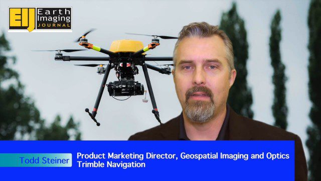
The V1 Video team spoke to Todd Steiner, product marketing director for Trimble’s geospatial imaging and optics products (including UAVs). We talked about the new Trimble ZX5 multirotor system, which is complementary to the fixed-wing UAVs. Their new Trimble UX5-HP introduces a high-precision RTK system with reduced need for ground control.
Trimble Dimensions Interview: Todd Steiner and Tim Lemmon
2.54K Views0 Comments0 Likes
At Trimble Dimensions 2014 in Las Vegas, V1 Media's Todd Danielson interviews Trimble's Todd Steiner, Marketing Director for Imaging Solutions, and Tim Lemmon, Office Software Director for Geospatial. They discuss Trimble's core history of surveying and GPS products; new visualization and imaging tools; software geared toward a variety of geospatial vertical markets; the evolving role of the surveyor; and more.
Building Drones for Construction, Surveying and Mining Applications
2.54K Views0 Comments0 Likes
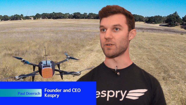
The V1 Video team spoke to Paul Doersch, founder and CEO of Kespry. We talked about his company’s workflows specific to automating the collection of aerial survey information, including the measurement of aggregate stockpiles and mining resources.
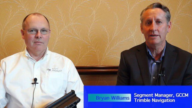
Trimble Announces Partnership with DotProduct
2.56K Views0 Comments0 Likes
Bryan Williams, Segment Manager, GCCM, Trimble Navigation, joined Tom Greaves, Chief Marketing Officer, DotProduct, to discuss a recent partnership between the two companies. In an interview with V1 Media's Todd Danielson at SPAR International, which was held March 30-April 2, 2015, in Houston, Texas, they discussed DotProduct and its products as well as how they fit into Trimble's plans. Williams also discusses vertical construction and additional new Trimble technologies.

Charting the Intersection of Remote Sensing, GIS and Data Science
2.57K Views0 Comments0 Likes
The V1 Video team interviewed Stuart Blundell, director of business development and strategy for Harris Geospatial Solutions, at the company’s ENVI Analytics Symposium in Boulder, Colo. The interview touched on the company’s analytical toolset, the need and opportunity to grow the market for advanced analytics, and the extension of their toolset to the cloud.

Bringing the Model to the People
2.59K Views0 Comments0 Likes
Informed Infrastructure spoke with Aaron Selverston, Founder and CEO, Owlized, at Autodesk University 2014 in Las Vegas. The Owl is a virtual reality device that presents a 3-D model of planned changes in the familiar form factor of a coin-operator binocular. Users approach the device and look into a registered model to see how familiar surroundings will evolve. Our conversation touched on the need for a more informative outreach method to guide urban transformation.
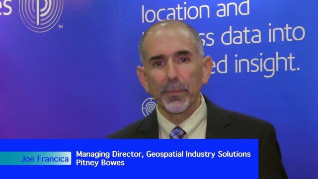
Integrating Geospatial Technology with Business Intelligence
2.59K Views0 Comments0 Likes
The V1 Video team interviewed Joe Francica, managing director, Geospatial Industry Solutions at Pitney Bowes, at the GEOINT Symposium in Washington, D.C. We spoke about the launch of MapInfo Pro Raster that uses new Multi-Resolution Raster technology to enable fast processing, visualization and analysis of large high-resolution imagery datasets. We also spoke about the MapInfo Pro 64 bit, which speeds up productivity.

Pictometry Developing 3D Models for Infrastructure Market
2.62K Views0 Comments0 Likes
The V1 Video team interviewed Jim Murray, Regional VP for Infrastructure at Pictometry (an EagleView company), at the 2015 Esri User Conference in San Diego. We spoke about the unique characteristics of high-resolution oblique imagery from Pictometry and an emerging ability to create detailed 3D models with oblique imagery data draped on buildings for a photorealistic model.

Trimble Discusses Mobile Device Evolution and Flexibility for Precision
2.63K Views0 Comments0 Likes
The V1 Video team interviewed Matt van Doorn, Product Manager in Trimble’s Geospatial Division, at the 2015 Esri User Conference in San Diego. We spoke about the rugged requirements of a professional device vs. a smartphone for field data collection. The market is good for both approaches, pairing a smartphone via a bluetooth device for high-precision collection.


