Category: Esri UC
Traisr Makes Asset Management Simple, Safe and Secure
5.23K Views0 Comments0 Likes
Todd Danielson interviews John DePalma, Principal, and Brian Berdel, Chief Information Officer, McMahon Associates Inc., at the 2014 Esri User Conference in San Diego. They discuss the company's new product, Traisr, which integrates with multiple platforms to monitor fixed and mobile assets as well as deliver consumer Web portals.
Delivering Very-High-Resolution Imagery for Densely Populated Areas
3.10K Views0 Comments0 Likes
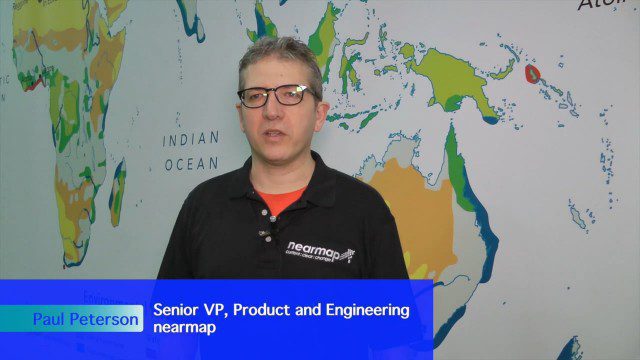
The V1 Video team interviewed Paul Peterson, senior vice president, Product & Engineering, nearmap, at the 2015 Esri User Conference in San Diego. The aerial imagery and visual analytics company provides timely, high-resolution and historic imagery that they recently imported to the United States from Australia. The unique sensing capacity and frequent revisits of major cities is accompanied by online analysis tools.
Esri’s Director of Solutions Discusses Apps, Simplicity and Passion
7.55K Views0 Comments0 Likes
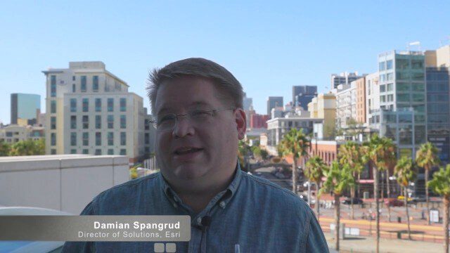
Todd Danielson interviews Damian Spangrud, Director of Solutions, Esri, at the 2014 Esri User Conference in San Diego. They discuss what it's like working at Esri, the tools needed to create a public-facing GIS app and "never underestimating how simple things need to be."
Gabe Svobodny Discusses Natural Resource Management at Esri UC
0 Views0 Comments0 Likes
Todd Danielson, editorial director of Informed Infrastructure and V1 Media, interviewed Gabe Svobodny, Division of Forestry, Fire and State Lands, Utah Department of Natural Resources, at the 2023 Esri User Co...
LizardTech Combining LiDAR Point Cloud and Image Compression
3.70K Views0 Comments0 Likes
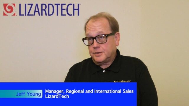
The V1 Video team interviewed Jeff Young, Manager of Regional and International Sales for LizardTech, at the 2015 Esri User Conference in San Diego. The company launched the 9.5 release of its GeoExpress software, which combines image and LiDAR compression technology. The latest tools add automation for color balancing and indexing images.
Jack Dangermond Discusses User Conference Highlights, GIS “Critical Mass” (1 of 4)
11.26K Views0 Comments0 Likes
In the first of four installments, Todd Danielson interviews Jack Dangermond, President and Founder, Esri, at the 2014 Esri User Conference in San Diego. Jack covers event highlights such as GIS aiding the fight against polio in Africa, new technologies introduced, and reaching a "critical mass" of development and use in the industry.
Data Enablement for Better Decision Making
3.79K Views0 Comments0 Likes
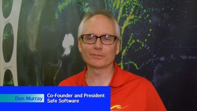
The V1 Video team interviewed Don Murray, Co-Founder and President of Safe Software, at the 2015 Esri User Conference in San Diego. We spoke about transforming geospatial data into different formats such as Minecraft for greater community engagement as well as combining buildings and GIS data for greater context. Safe Software is all about data, allowing for analysis, processing, storing and integrating data for better decision making.
Pictometry Developing 3D Models for Infrastructure Market
2.62K Views0 Comments0 Likes
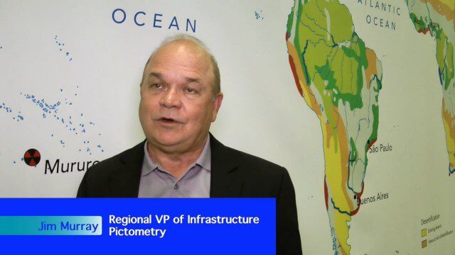
The V1 Video team interviewed Jim Murray, Regional VP for Infrastructure at Pictometry (an EagleView company), at the 2015 Esri User Conference in San Diego. We spoke about the unique characteristics of high-resolution oblique imagery from Pictometry and an emerging ability to create detailed 3D models with oblique imagery data draped on buildings for a photorealistic model.


