Category: Esri UC
Jack Dangermond Discusses Large Enterprise Adoption of GIS and the Role of Apps (2 of 4)
0 Views0 Comments0 Likes
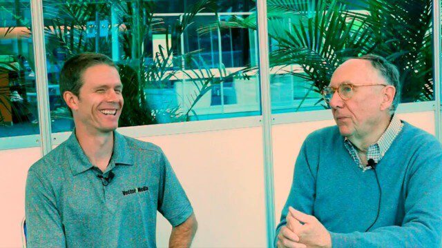
In the second of four installments, Todd Danielson interviews Jack Dangermond, President and Founder, Esri, at the 2014 Esri User Conference in San Diego. Jack notes how large enterprises are increasingly using GIS, such as Starbucks, Walgreens and the Port of Rotterdam, among others. He also discusses the growing geographical user interface and the role of apps in the marketplace.
Jack Dangermond Discusses User Conference Highlights, GIS “Critical Mass” (1 of 4)
0 Views0 Comments0 Likes
In the first of four installments, Todd Danielson interviews Jack Dangermond, President and Founder, Esri, at the 2014 Esri User Conference in San Diego. Jack covers event highlights such as GIS aiding the fight against polio in Africa, new technologies introduced, and reaching a "critical mass" of development and use in the industry.
Jack Dangermond Implores GIS Community to Get Involved to Make a Difference (4 of 4)
0 Views0 Comments0 Likes
In the final of four installments, Todd Danielson interviews Jack Dangermond, President and Founder, Esri, at the 2014 Esri User Conference in San Diego. Jack talks about his passion to solve problems, sometimes at a global scale, and enabling the next generation to help tackle the world's problems. He also encourages the GIS community to "move out and play at 100 percent."
LizardTech Combining LiDAR Point Cloud and Image Compression
0 Views0 Comments0 Likes
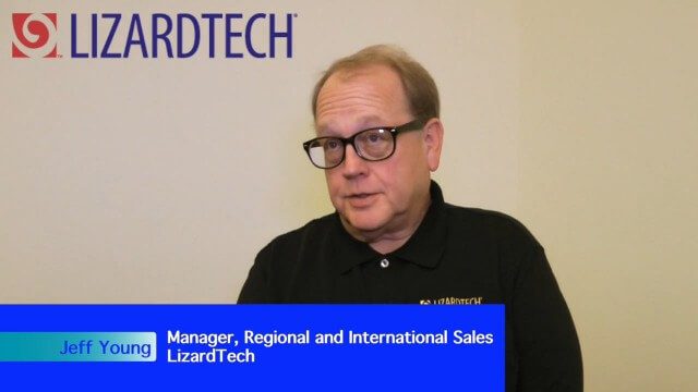
The V1 Video team interviewed Jeff Young, Manager of Regional and International Sales for LizardTech, at the 2015 Esri User Conference in San Diego. The company launched the 9.5 release of its GeoExpress software, which combines image and LiDAR compression technology. The latest tools add automation for color balancing and indexing images.
Pictometry Developing 3D Models for Infrastructure Market
0 Views0 Comments0 Likes
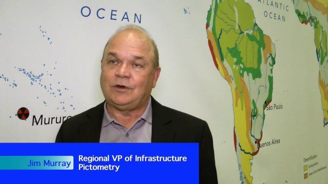
The V1 Video team interviewed Jim Murray, Regional VP for Infrastructure at Pictometry (an EagleView company), at the 2015 Esri User Conference in San Diego. We spoke about the unique characteristics of high-resolution oblique imagery from Pictometry and an emerging ability to create detailed 3D models with oblique imagery data draped on buildings for a photorealistic model.
RIEGL Creating 3D Data for Improved Disaster Response
0 Views0 Comments0 Likes
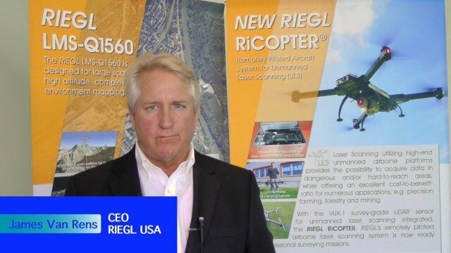
The V1 Video team interviewed James Van Rens, CEO of RIEGL USA, at the 2015 Esri User Conference in San Diego. We spoke at the 3D Mapping Forum, focusing on the need to map the shoreline for improved disaster response. The company also showcased its new RiCOPTER mapping drone.
Traisr Makes Asset Management Simple, Safe and Secure
0 Views0 Comments0 Likes
Todd Danielson interviews John DePalma, Principal, and Brian Berdel, Chief Information Officer, McMahon Associates Inc., at the 2014 Esri User Conference in San Diego. They discuss the company's new product, Traisr, which integrates with multiple platforms to monitor fixed and mobile assets as well as deliver consumer Web portals.
Trimble Discusses Mobile Device Evolution and Flexibility for Precision
0 Views0 Comments0 Likes
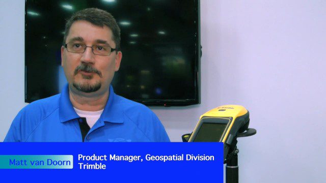
The V1 Video team interviewed Matt van Doorn, Product Manager in Trimble’s Geospatial Division, at the 2015 Esri User Conference in San Diego. We spoke about the rugged requirements of a professional device vs. a smartphone for field data collection. The market is good for both approaches, pairing a smartphone via a bluetooth device for high-precision collection.


