
Todd Danielson / Added Videos
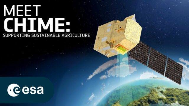
How Will Space Transform the Global Food System?
0 Views0 Comments0 Likes
According to the Food and Agriculture Organization (FAO), global agricultural production will need to increase by 60% by 2050 to meet the food demands of the growing global population. A new satellite called Copernicu...
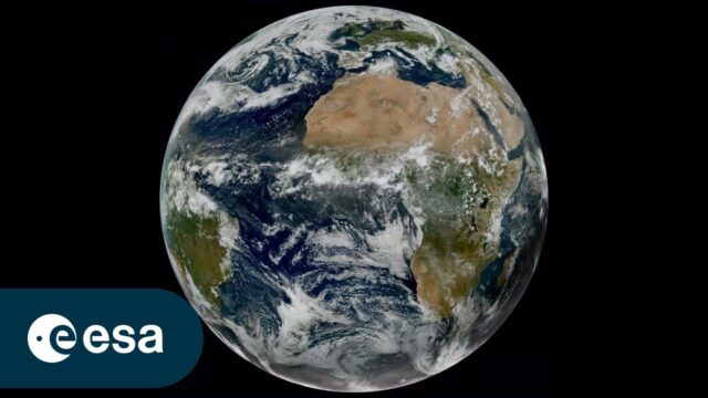
Meteosat Third Generation: Painting the Full Picture
0 Views0 Comments0 Likes
In a significant leap forward for meteorology, the preliminary data obtained by Meteosat Third Generation’s two instruments, the Flexible Combined Imager (FCI) and the Lightning Imager (LI), were successfully combined...
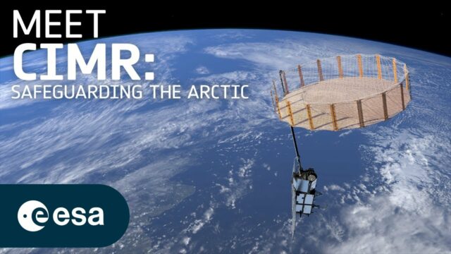
What Does a Warming Arctic Mean for the Future?
0 Views0 Comments0 Likes
The Arctic is experiencing disproportionately higher temperature increases compared to the rest of the planet, triggering a series of cascading effects. This rapid warming has profound implications for global climate ...
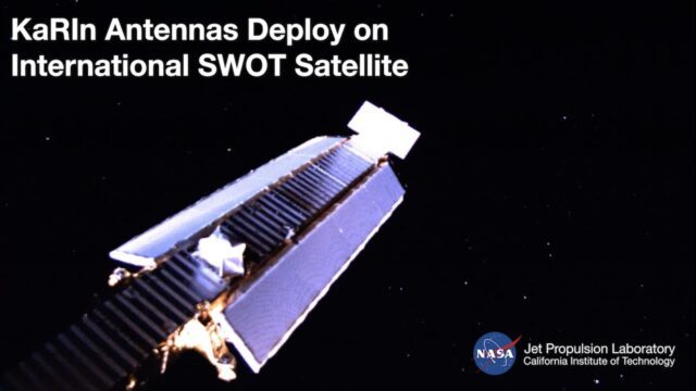
Watch the Latest Water Satellite Unfold Itself in Space
0 Views0 Comments0 Likes
Two cameras aboard the Surface Water and Ocean Topography (SWOT) satellite captured the large mast and antenna panels of the spacecraft’s main science instrument deploying over four days, a process that was completed ...
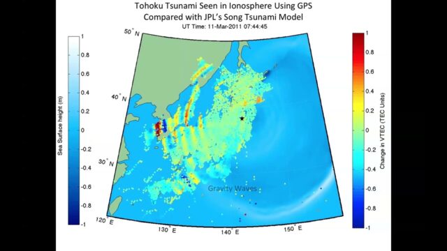
NASA ‘Sees’ Tohoku-Oki Earthquake, Tsunami in Earth’s Upper Atmosphere
0 Views0 Comments0 Likes
This animation shows how waves of energy from the Tohoku-Oki earthquake and tsunami of March 11, 2011, pierced Earth’s ionosphere in the vicinity of Japan, disturbing the density of electrons. These disturbances were ...
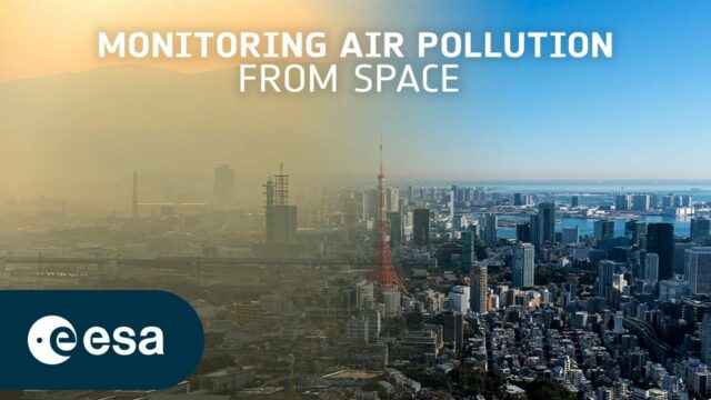
Toward the Next Generation of Air-Quality Monitoring
0 Views0 Comments0 Likes
Air pollution is the largest environmental health risk in Europe and significantly impacts the health of the European population, particularly in urban areas. Following on from the Sentinel-5P satellite – the first...
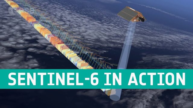
Copernicus Sentinel-6 In Action
36 Views0 Comments0 Likes
The Copernicus Sentinel-6 Poseidon-4 dual-frequency (C- and Ku-band) radar altimeter uses an innovative interleaved mode that has improved performance compared to previous satellite altimeter designs. The Sentinel...
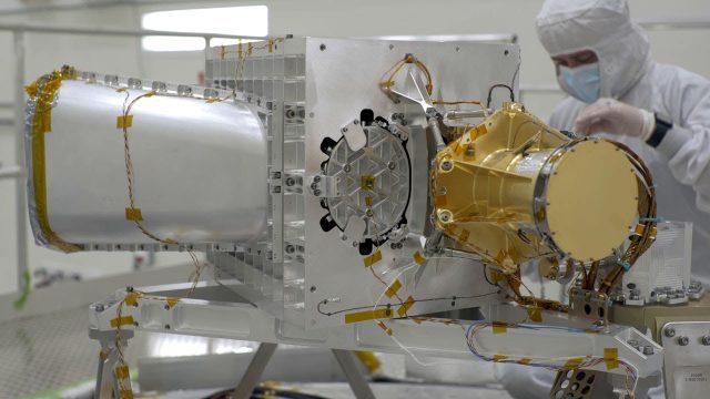
What Is NASA’s Earth Surface Mineral Dust Source Investigation (EMIT)? (Mission Overview)
10 Views0 Comments0 Likes
Soon to be operating from the International Space Station, NASA’s Earth Surface Mineral Dust Source Investigation (EMIT) mission will comprehensively measure the mineral composition of Earth’s mineral dust source reg...
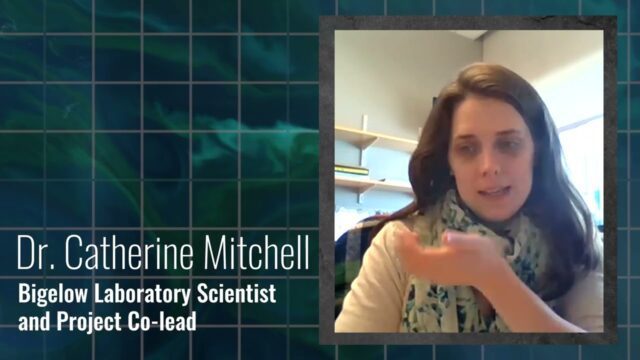
Gulf of Maine’s Phytoplankton Productivity Down 65%
6 Views0 Comments0 Likes
The Gulf of Maine is growing increasingly warm and salty, due to ocean currents pushing warm water into the gulf from the Northwest Atlantic, according to a new NASA-funded study. These temperature and salinity c...
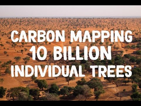
NASA Maps Carbon of 10 Billion Individual Trees
0 Views0 Comments0 Likes
Using commercial, high-resolution satellite images and artificial intelligence, a team of NASA-funded scientists mapped almost 10 billion individual trees in Africa’s drylands in order to assess the amount of carbon s...


